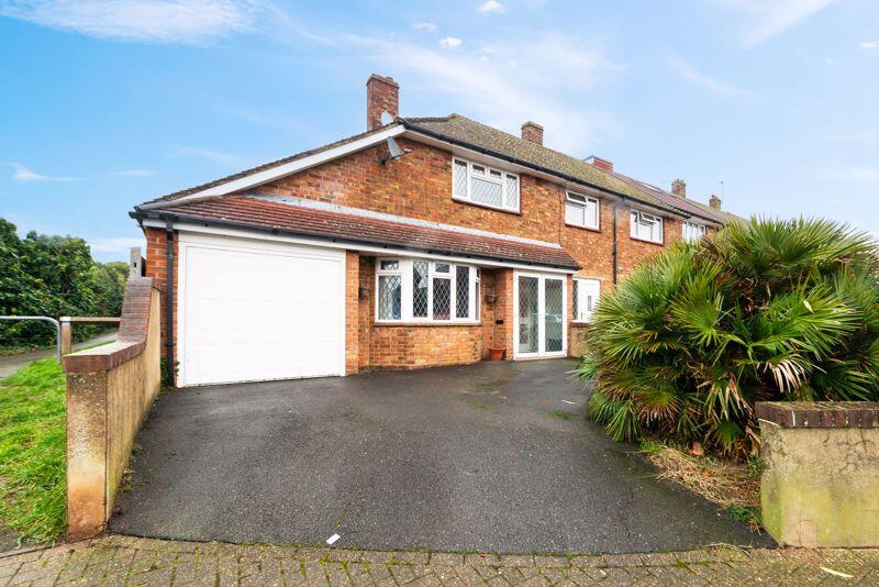
81 BROW CRESCENT
ORPINGTON, BROMLEY, GREATER LONDON, BR5 4LN
£410,000
Location
Nearby
Nearest stations, universities and amenities (distance from property).
| Type | Name | Distance |
|---|---|---|
| Bus stop | Ramsden Road | 0.1 miles |
| Shop | Sparkle Tanning & Beauty | 0.3 miles |
| Train station | St Mary Cray | 1.3 miles |
| Hospital | Chelsfield Park Hospital | 1.5 miles |
| University | University of Greenwich Avery Hill Campus | 5.0 miles |
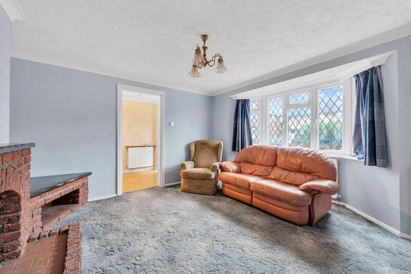
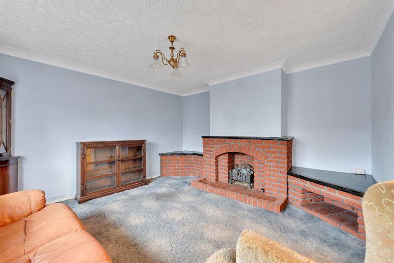
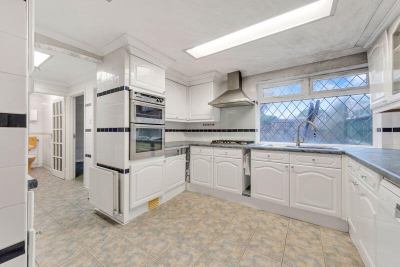
Property details
Tenure
Freehold
Property type
Terraced
Bedrooms
2
Bathrooms
1
Floor area
96 m²
EPC rating
D
Year built
England and Wales: 1950-1966
Last sold
£410,000 Jan 2026
Price per m²
£4,271/m²
Local average
£364,275 (20 sales)
Street crime
214 incidents within 1 mile (Apr 2026)
EPC Rating & Upgrade Cost
Current rating: D
Potential rating: C
Inspection date: 10/02/2025
Expiry date: 09/02/2035
Current heating cost: £1,253/year
Potential heating cost: £775/year
Est. upgrade cost to C: £17,025
Recommendations
- Room-in-roof insulation (£1,500 - £2,700)
- Floor insulation (solid floor) (£4,000 - £6,000)
- Low energy lighting for all fixed outlets (£25)
- Upgrade heating controls (£350 - £450)
- Solar water heating (£4,000 - £6,000)
- Solar photovoltaic panels, 2.5 kWp (£3,500 - £5,500)
Price history
| Event | Date | Price | Type | % change | Today’s value (HPI) | Action |
|---|---|---|---|---|---|---|
| Sold | 23/01/2026 | £410,000 | Terraced | — | £407,170 to March 2026 | View transaction |
Historic listings
Listing and sale events only where we matched the listing page to a Land Registry sale already on record for this address.
| Event | Date | Price |
|---|---|---|
| sold | 01/01/2026 | £410,000 |
| listed | 17/02/2025 | £420,000 |
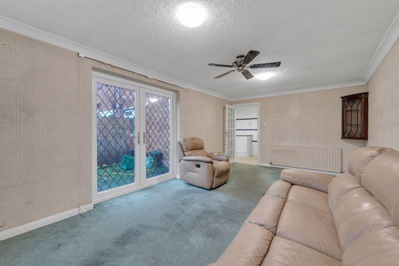
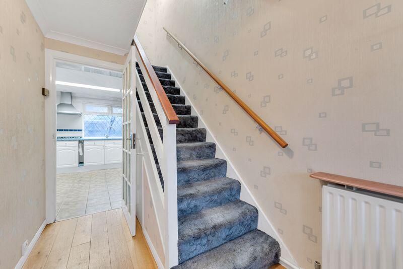
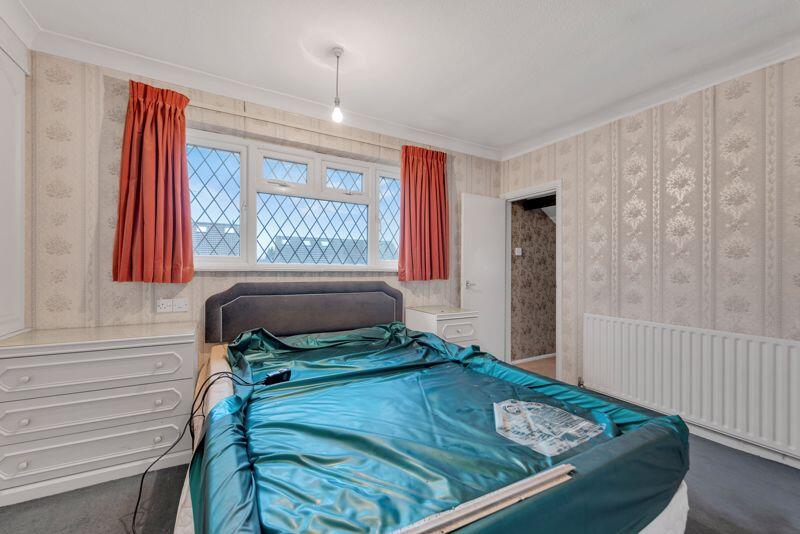
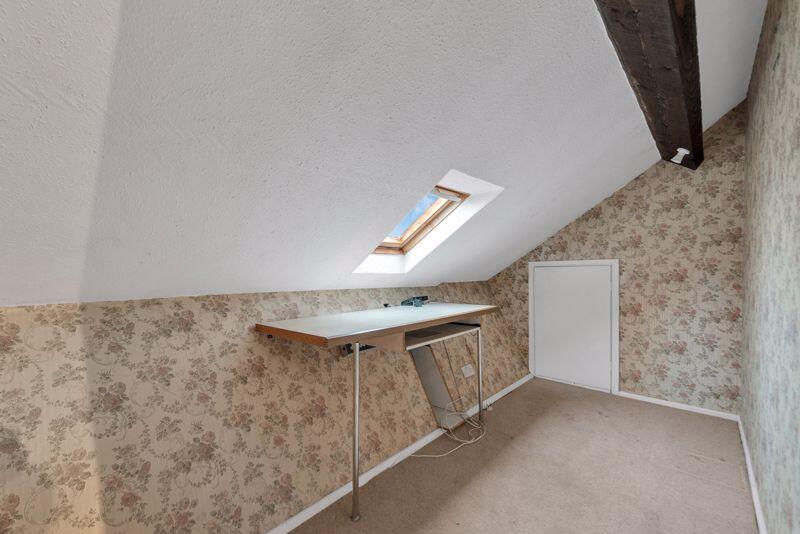
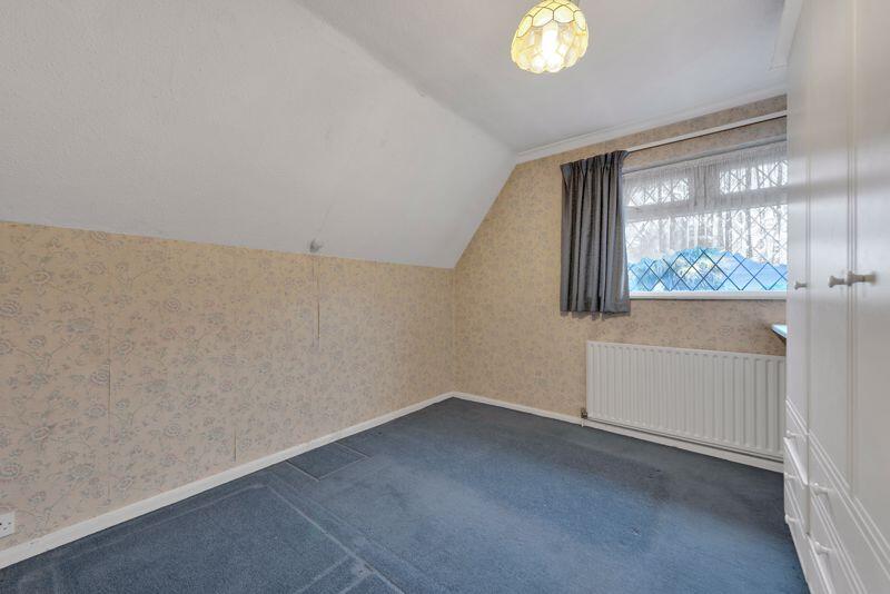
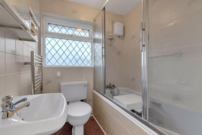
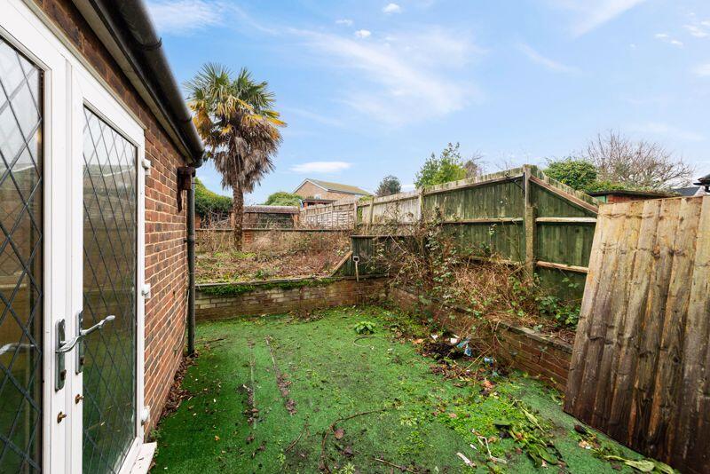
Photos · Open listing
 Open image 1 from listing 158367788
 Open image 2 from listing 158367788
 Open image 3 from listing 158367788
 Open image 4 from listing 158367788
 Open image 5 from listing 158367788
 Open image 6 from listing 158367788
 Open image 7 from listing 158367788
 Open image 8 from listing 158367788
 Open image 9 from listing 158367788
 Open image 10 from listing 158367788
 Open image 11 from listing 158367788
 Open image 12 from listing 158367788
Sold comparables
Same street and nearby sales within 0.25 miles (last 5 years). Land Registry Price Paid Data.
| Address | Price | Date | Type |
|---|---|---|---|
| 31 QUILTER ROAD, ORPINGTON, BROMLEY, GREATER LONDON, BR5 4PD | £427,500 | 05/12/2025 | Terraced |
| 58 QUILTER ROAD, ORPINGTON, BROMLEY, GREATER LONDON, BR5 4GA | £186,000 | 28/11/2022 | Terraced |
| 20 QUILTER ROAD, ORPINGTON, BROMLEY, GREATER LONDON, BR5 4GA | £480,000 | 17/11/2022 | Terraced |
| 70 MUNGO PARK WAY, ORPINGTON, BROMLEY, GREATER LONDON, BR5 4EQ | £545,000 | 21/09/2022 | Terraced |
| 134 CHELSFIELD LANE, ORPINGTON, BROMLEY, GREATER LONDON, BR5 4PZ | £352,500 | 04/03/2022 | Terraced |
| 8 RAMSDEN CLOSE, ORPINGTON, BROMLEY, GREATER LONDON, BR5 4LJ | £315,000 | 09/09/2021 | Terraced |
| 135 BROW CRESCENT, ORPINGTON, BROMLEY, GREATER LONDON, BR5 4LW | £329,950 | 03/09/2021 | Terraced |
Area average: £376,564 (7 sales)
For sale comparables
No active for-sale comparables found within 1 mile for the same bedrooms and property type.
Capital growth trend
Land Registry outcode average: last 12 months vs 5y and 10y ago (from sold prices).
House Price Index (HM Land Registry — official index, not sold-price averages): Bromley. Series: Terraced. As of March 2026.
Rental Range
Estimated market rent for Bromley. Low = conservative, Realistic = average, Optimistic = best case.
Based on Local Authority from postcode lookup → Bromley.
LHA (30th percentile) floor for Outer South East London: Apr 2025 – Mar 2026
Rental Comparables
Loading rental comparables for this postcode. Refresh in a few minutes.
Rent-driven metrics
Based on Area rent estimate.
- Rent ratio — Monthly rent ÷ purchase price (1% rule). 1%+ = strong, 0.8–1% = okay, <0.8% = weak for cashflow.
- Max investor price — Rent ÷ 0.8%; the price at which rent would be 0.8% of price (Stoke-style target).
- Target investor price — Rent ÷ 1%; the price at which rent would be 1% of price (strong cashflow band).
- Gross yield — Annual rent as % of purchase price (no costs).
Flood risk
Zone: 1
Risk: Low
Job (default Low)
Street-level crime
| Category | Count |
|---|---|
| Violence and sexual offences | 59 |
| Shoplifting | 35 |
| Anti-social behaviour | 34 |
| Vehicle crime | 23 |
| Other theft | 15 |
| Public order | 12 |
| Criminal damage and arson | 10 |
| Burglary | 9 |
| Robbery | 8 |
| Drugs | 4 |
| Other crime | 3 |
| Theft from the person | 2 |
| Total incidents | 214 |
Within 1 mile during Apr 2026. Source: data.police.uk (England & Wales).
Schools nearby
Nearest open schools with Ofsted ratings (England). Closed schools are not shown. Data from Get Information about Schools and Ofsted.
| Name | Type | Distance | Ofsted |
|---|---|---|---|
| Harris Primary Academy Orpington | Primary | 0.2 miles | Good — 11 Sep 2019 |
| Harris Academy Orpington | Secondary | 0.3 miles | Good — 17 Jul 2023 |
| St Philomena's Primary School | Primary | 0.3 miles | Good — 27 May 2010 |
| Blenheim Primary School | Primary | 0.4 miles | Good — 13 Nov 2014 |
| Bromley Beacon Academy | Other | 0.6 miles | Good — 10 Feb 2019 |
FENSA
Checking FENSA certificates for this address. Refresh in a few minutes.