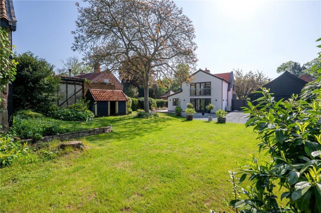
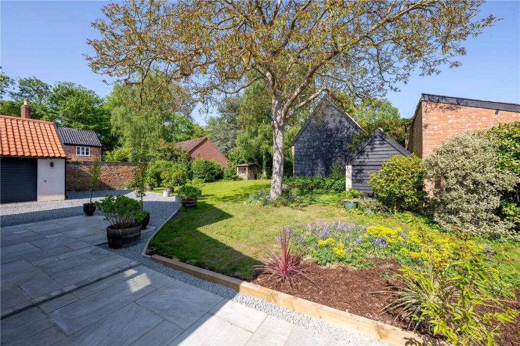
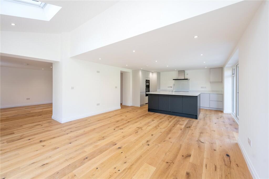
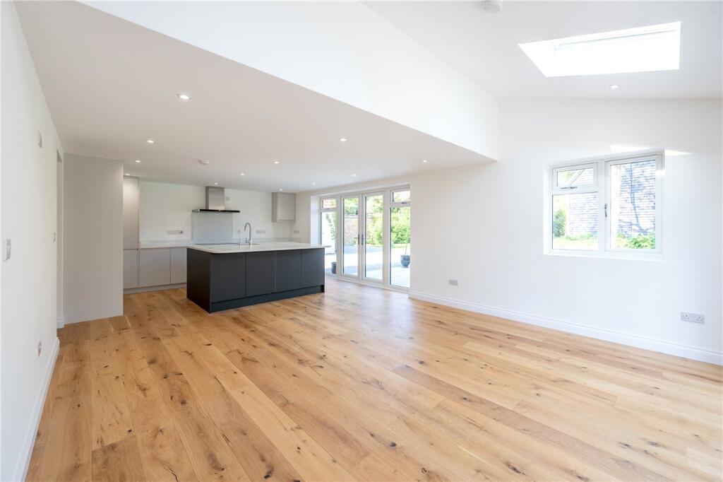
SPOONER LODGE THE STREET
BRAMERTON, NORWICH, SOUTH NORFOLK, NORFOLK, NR14 7DW
£705,000
Location
Nearby
Nearest stations, universities and amenities (distance from property).
| Type | Name | Distance |
|---|---|---|
| Bus stop | Rockland Road, adj | 0.1 miles |
| Shop | Applebee Orchard and Apiary | 0.5 miles |
| Train station | Brundall Gardens | 2.5 miles |
| University | Broadcast House | 4.9 miles |
| Hospital | Norfolk and Norwich University Hospital:Emergency Department | 7.3 miles |
Property details
Tenure
Freehold
Property type
Detached
Bedrooms
4
Bathrooms
2
Last sold
£705,000 Feb 2026
Local average
£434,600 (50 sales)
EPC Rating & Upgrade Cost
Fetching EPC data… Refresh this page in a moment.
Price history
| Event | Date | Price | Type | % change | Today’s value (HPI) | Action |
|---|---|---|---|---|---|---|
| Sold | 11/02/2026 | £705,000 | Detached | +60.2% | £705,000 to March 2026 | View transaction |
| Sold | 17/02/2023 | £440,000 | Detached | — | £429,429 to March 2026 | View transaction |
Historic listings
Listing and sale events only where we matched the listing page to a Land Registry sale already on record for this address.
| Event | Date | Price |
|---|---|---|
| sold | 01/01/2026 | £705,000 |
| listed | 10/05/2025 | £700,000 |
| sold | 01/01/2023 | £440,000 |
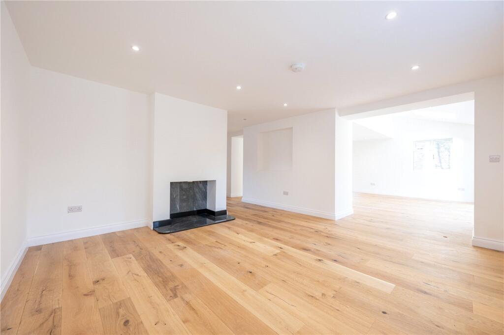
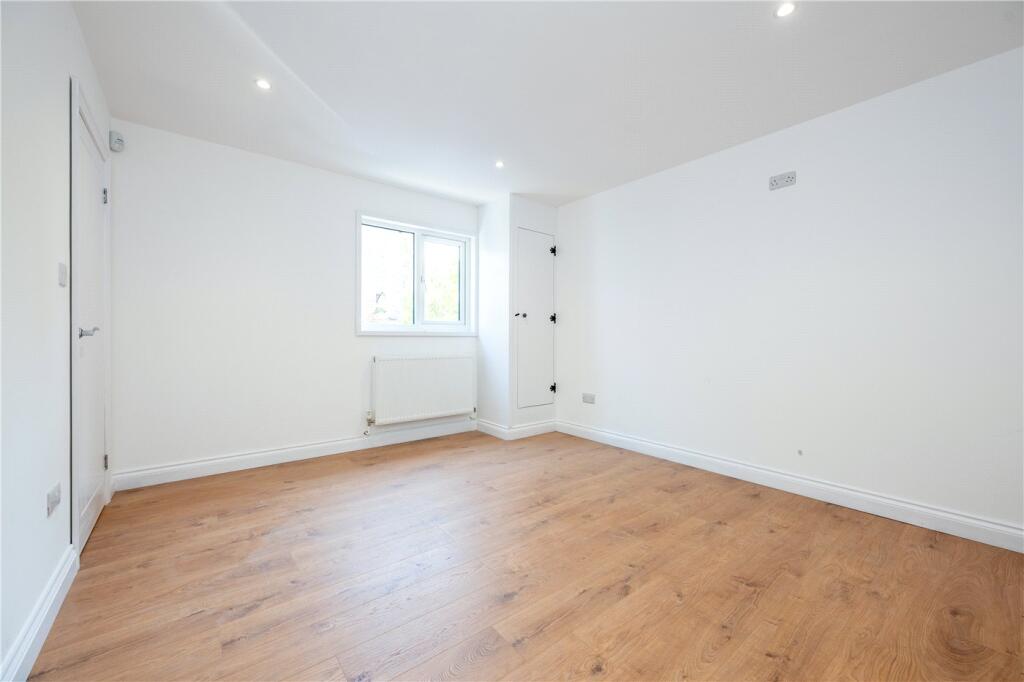
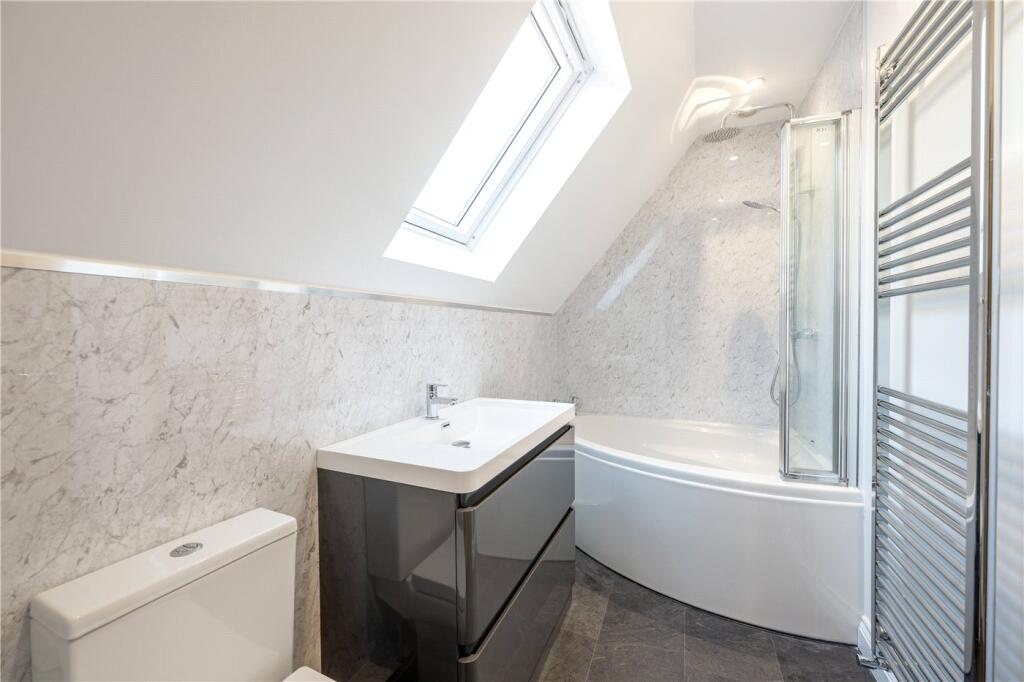
Photos · Open listing
 Open image 1 from listing 161782772
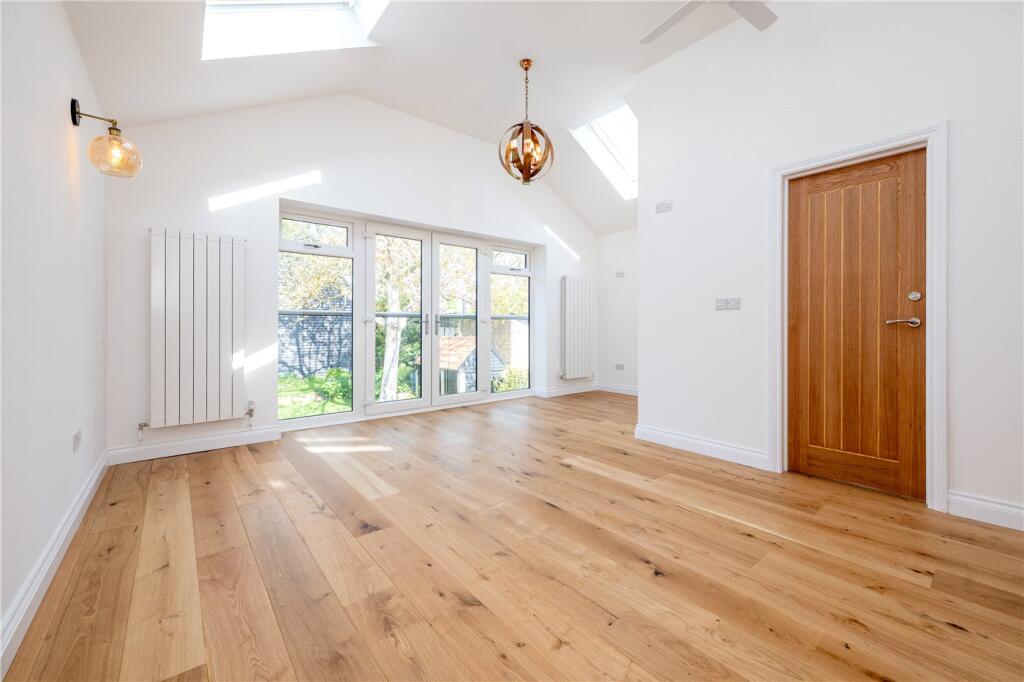
 Open image 2 from listing 161782772
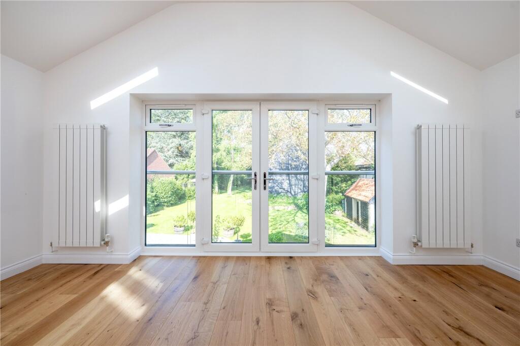
 Open image 3 from listing 161782772
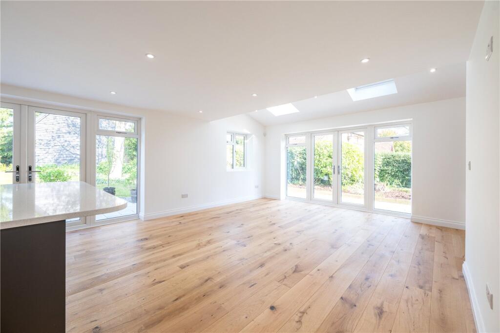
 Open image 4 from listing 161782772
 Open image 5 from listing 161782772
 Open image 6 from listing 161782772
 Open image 7 from listing 161782772
 Open image 8 from listing 161782772
 Open image 9 from listing 161782772
 Open image 10 from listing 161782772
 Open image 11 from listing 161782772
 Open image 12 from listing 161782772
Sold comparables
Same street and nearby sales within 0.25 miles (last 5 years). Land Registry Price Paid Data.
| Address | Price | Date | Type |
|---|---|---|---|
| ORCHARD HOUSE THE STREET, BRAMERTON, NORWICH, SOUTH NORFOLK, NORFOLK, NR14 7DW | £1,275,000 | 12/10/2022 | Detached |
| GRANGE FARM COTTAGE THE STREET, BRAMERTON, NORWICH, SOUTH NORFOLK, NORFOLK, NR14 7DW | £400,000 | 16/09/2022 | Detached |
| BULRUSHES THE STREET, BRAMERTON, NORWICH, SOUTH NORFOLK, NORFOLK, NR14 7DW | £737,500 | 17/01/2022 | Detached |
| YEW TREE COTTAGE THE STREET, BRAMERTON, NORWICH, SOUTH NORFOLK, NORFOLK, NR14 7DW | £690,000 | 30/06/2021 | Detached |
Area average: £775,625 (4 sales)
For sale comparables
No active for-sale comparables found within 1 mile for the same bedrooms and property type.
Capital growth trend
Land Registry outcode average: last 12 months vs 5y and 10y ago (from sold prices).
House Price Index (HM Land Registry — official index, not sold-price averages): South Norfolk. Series: Detached. As of March 2026.
Rental Range
Estimated market rent for South Norfolk. Low = conservative, Realistic = average, Optimistic = best case.
Based on Local Authority from postcode lookup → South Norfolk.
LHA (30th percentile) floor for Central Norfolk & Norwich: Apr 2025 – Mar 2026
Rental Comparables
Loading rental comparables for this postcode. Refresh in a few minutes.
Rent-driven metrics
Based on Area rent estimate.
- Rent ratio — Monthly rent ÷ purchase price (1% rule). 1%+ = strong, 0.8–1% = okay, <0.8% = weak for cashflow.
- Max investor price — Rent ÷ 0.8%; the price at which rent would be 0.8% of price (Stoke-style target).
- Target investor price — Rent ÷ 1%; the price at which rent would be 1% of price (strong cashflow band).
- Gross yield — Annual rent as % of purchase price (no costs).
Flood risk
Zone: 1
Risk: Low
Not in Flood Risk Area (no data)
Street-level crime
| Category | Count |
|---|---|
| Total incidents | 0 |
Within 1 mile during Apr 2026. Source: data.police.uk (England & Wales).
Schools nearby
Nearest open schools with Ofsted ratings (England). Closed schools are not shown. Data from Get Information about Schools and Ofsted.
| Name | Type | Distance | Ofsted |
|---|---|---|---|
| Rockland St Mary Primary School | Primary | 1.2 miles | Good — 15 Mar 2022 |
| Surlingham Primary School | Primary | 1.5 miles | Good — 20 Mar 2022 |
| Alpington and Bergh Apton Church of England Voluntary Aided Primary School | Primary | 1.8 miles | Outstanding — 9 Sep 2015 |
| Poringland Primary School | Primary | 2.2 miles | Good — 6 Jul 2023 |
| Framingham Earl High School | Secondary | 2.3 miles | Good — 6 Nov 2014 |
FENSA
Checking FENSA certificates for this address. Refresh in a few minutes.