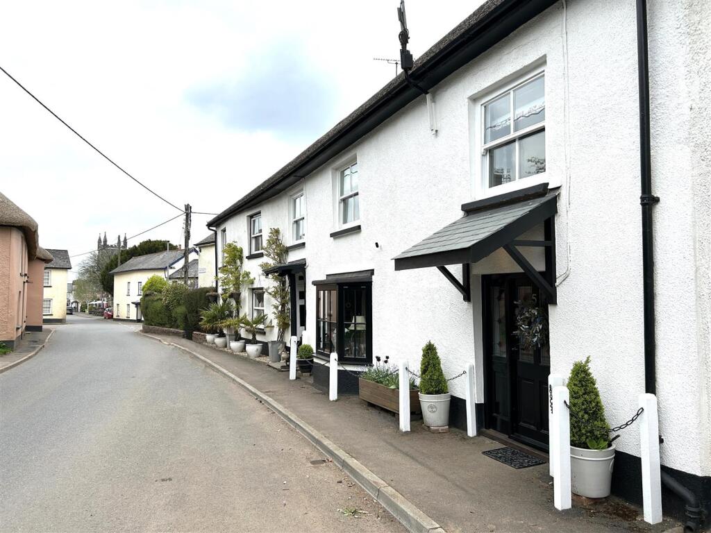
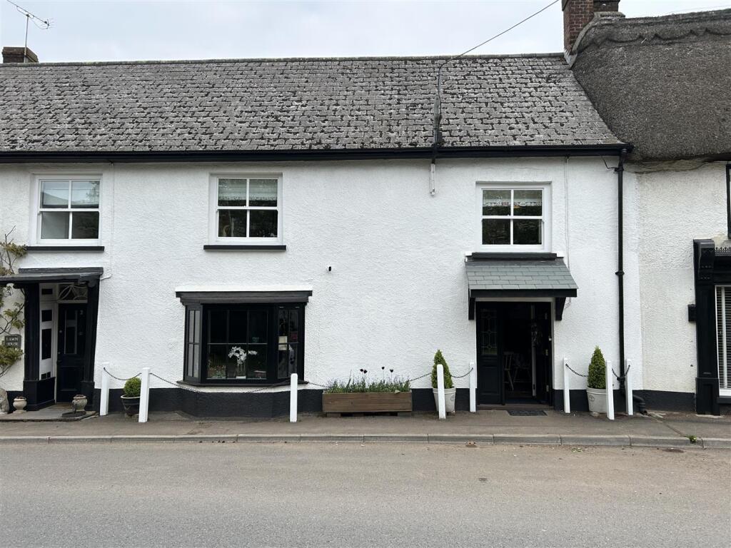
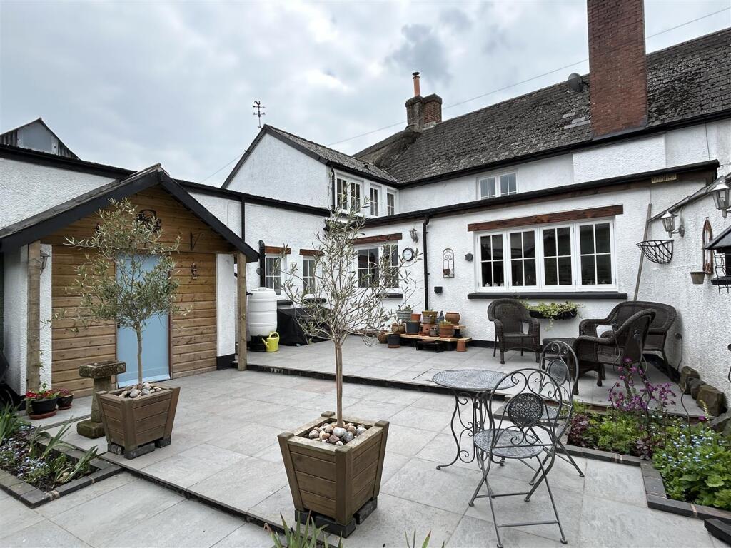
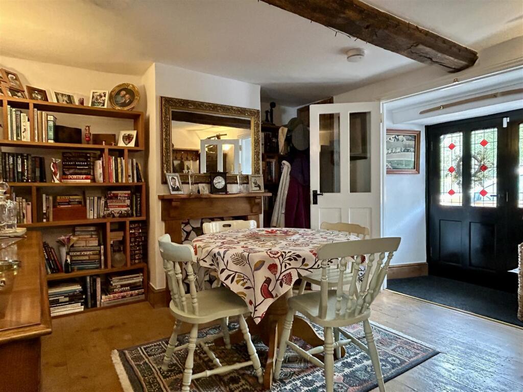
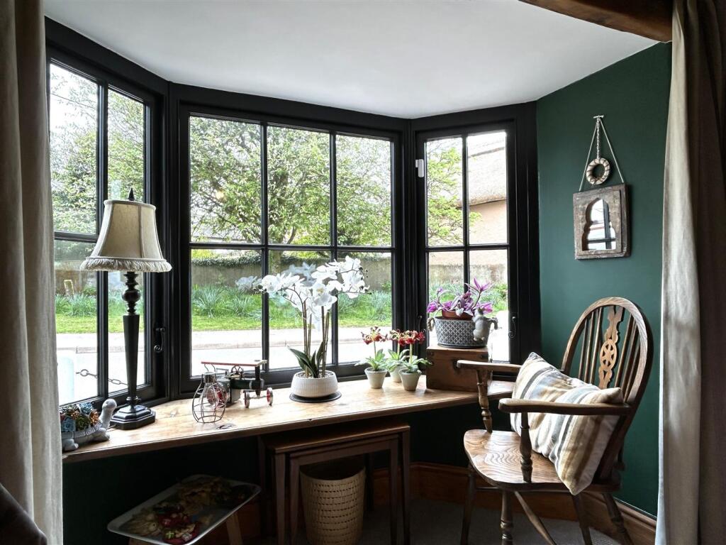
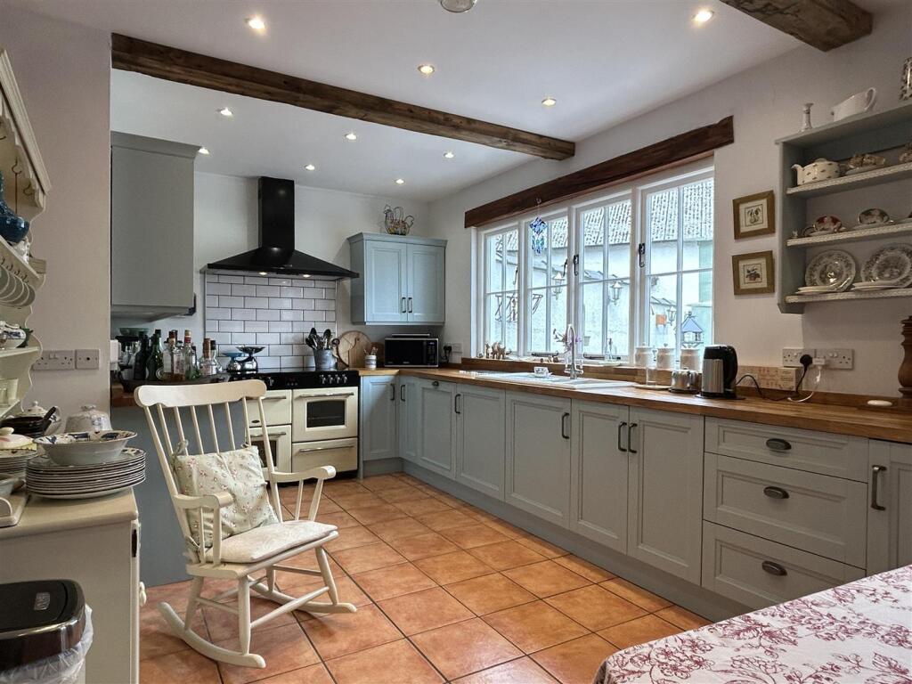
5 FORE STREET
WITHERIDGE, TIVERTON, NORTH DEVON, DEVON, EX16 8AH
£325,000
Location
Nearby
Nearest stations, universities and amenities (distance from property).
| Type | Name | Distance |
|---|---|---|
| Shop | Central | 0.2 miles |
| Bus stop | Page's Cross | 4.3 miles |
| Train station | Lapford | 6.3 miles |
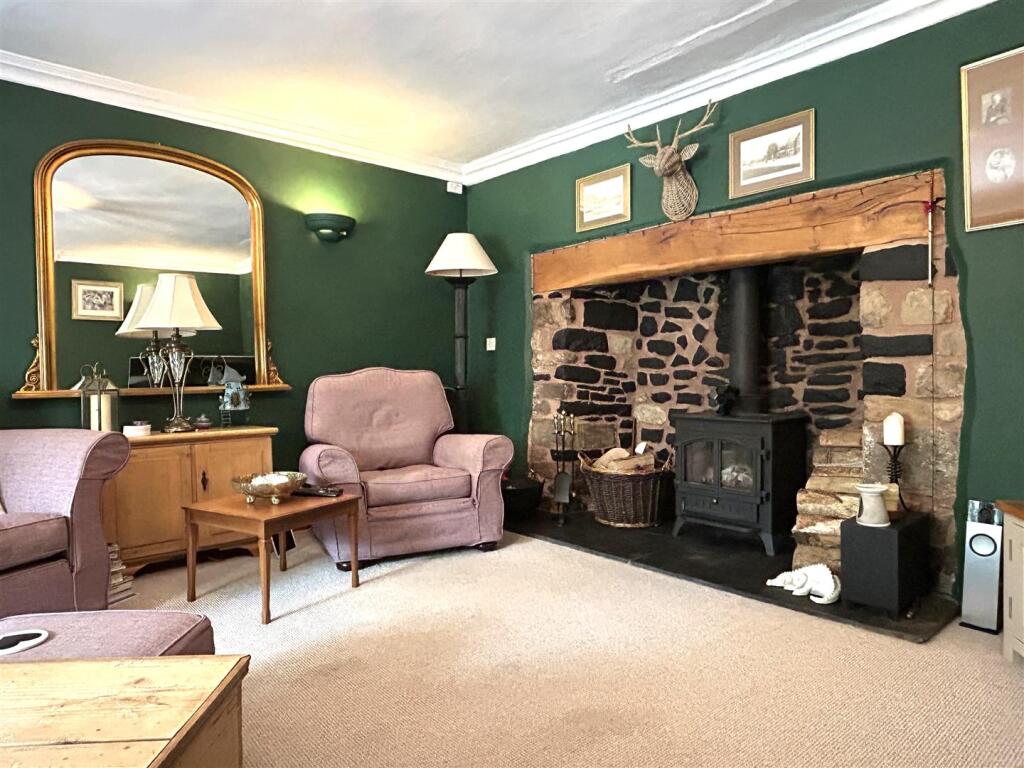
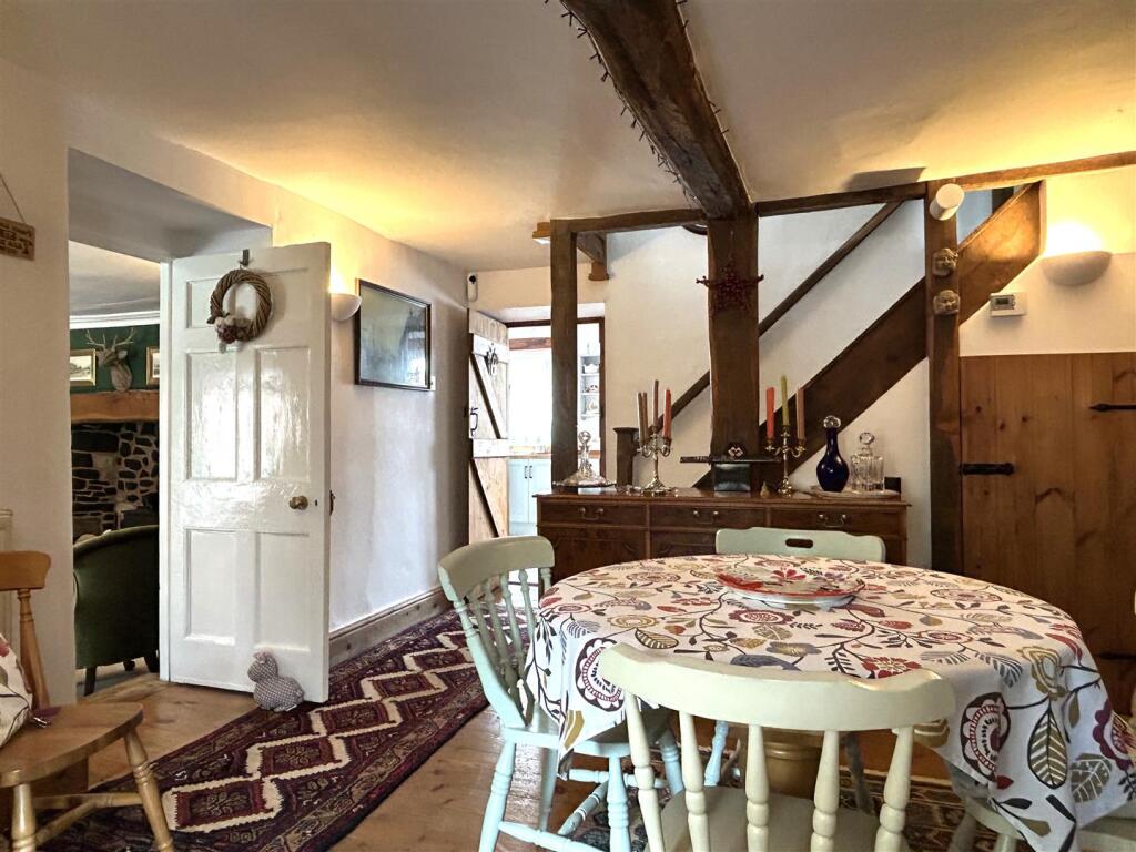
Property details
Tenure
Freehold
Property type
Terraced
Bedrooms
4
Bathrooms
2
Floor area
150 m²
EPC rating
D
Year built
England and Wales: before 1900
Last sold
£325,000 Mar 2026
Price per m²
£2,167/m²
Local average
£238,415 (38 sales)
Street crime
13 incidents within 1 mile (Apr 2026)
EPC Rating & Upgrade Cost
Current rating: D
Potential rating: C
Inspection date: 20/10/2025
Expiry date: 19/10/2035
Current heating cost: £1,663/year
Potential heating cost: £949/year
Est. upgrade cost to C: £25,750
Recommendations
- 50 mm internal or external wall insulation (£7,500 - £11,000)
- Floor insulation (solid floor) (£5,000 - £10,000)
- Solar photovoltaic panels, 2.5 kWp (£8,000 - £10,000)
Price history
| Event | Date | Price | Type | % change | Today’s value (HPI) | Action |
|---|---|---|---|---|---|---|
| Sold | 03/03/2026 | £325,000 | Terraced | +4% | £325,000 to March 2026 | View transaction |
| Sold | 29/03/2022 | £312,500 | Terraced | +377.1% | £314,455 to March 2026 | View transaction |
| Sold | 23/11/2000 | £65,500 | Terraced | — | £245,944 to March 2026 | View transaction |
Historic listings
Listing and sale events only where we matched the listing page to a Land Registry sale already on record for this address.
| Event | Date | Price |
|---|---|---|
| sold | 01/01/2026 | £325,000 |
| listed | 11/05/2025 | £350,000 |
| sold | 01/01/2022 | £312,500 |
| sold | 01/01/2000 | £65,500 |
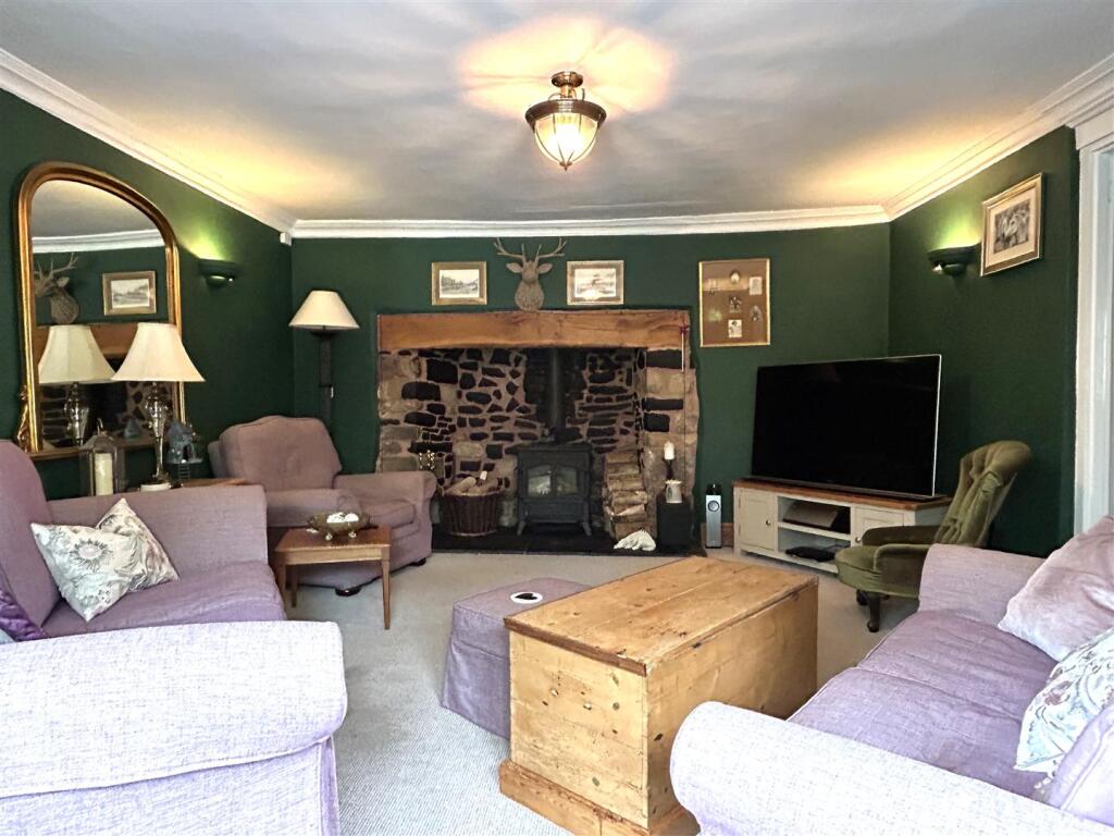
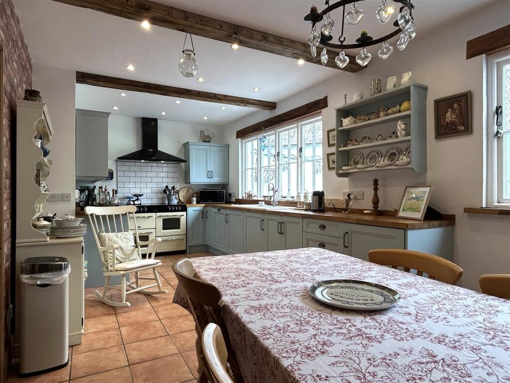
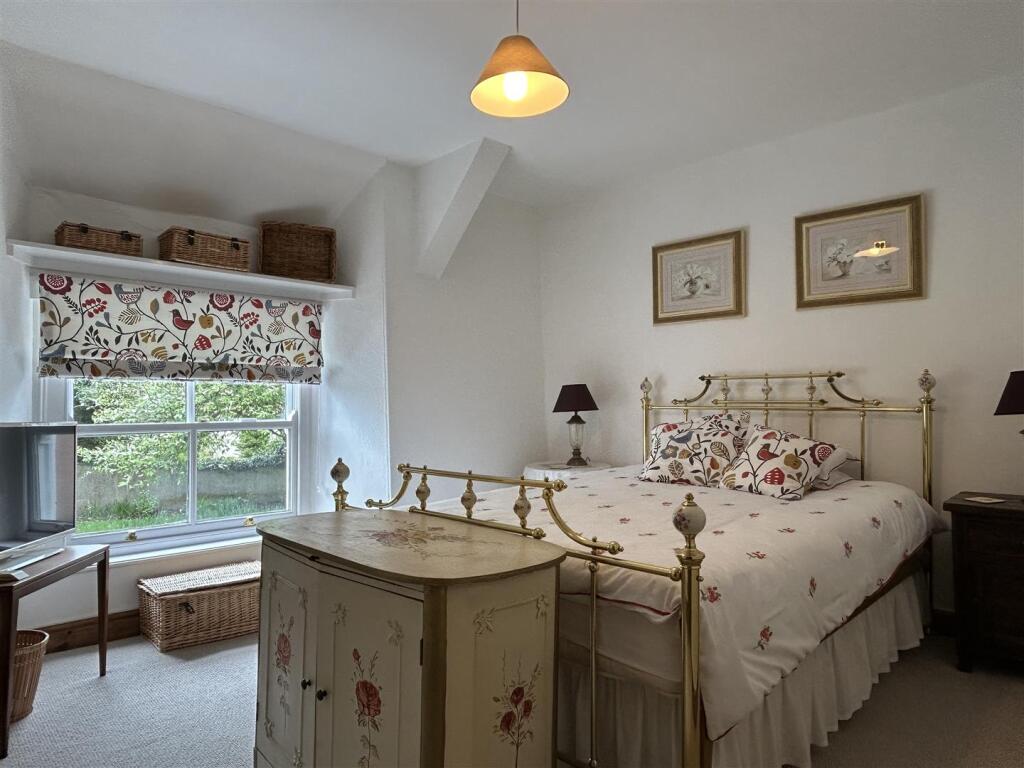
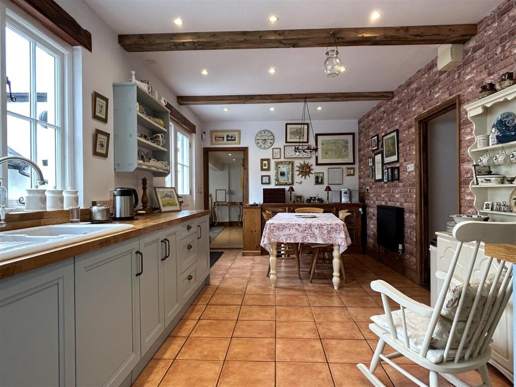
Photos · Open listing
 Open image 1 from listing 161794679
 Open image 2 from listing 161794679
 Open image 3 from listing 161794679
 Open image 4 from listing 161794679
 Open image 5 from listing 161794679
 Open image 6 from listing 161794679
 Open image 7 from listing 161794679
 Open image 8 from listing 161794679
 Open image 9 from listing 161794679
 Open image 10 from listing 161794679
 Open image 11 from listing 161794679
 Open image 12 from listing 161794679
Sold comparables
Same street and nearby sales within 0.25 miles (last 5 years). Land Registry Price Paid Data.
| Address | Price | Date | Type |
|---|---|---|---|
| 35 WEST STREET, WITHERIDGE, TIVERTON, NORTH DEVON, DEVON, EX16 8AA | £227,500 | 13/10/2023 | Terraced |
| 4 WIRIGA WAY, WITHERIDGE, TIVERTON, NORTH DEVON, DEVON, EX16 8EQ | £175,000 | 24/03/2023 | Terraced |
| 2 WEST STREET, WITHERIDGE, TIVERTON, NORTH DEVON, DEVON, EX16 8AA | £300,000 | 01/11/2022 | Terraced |
| 12 CHAPPLE ROAD, WITHERIDGE, TIVERTON, NORTH DEVON, DEVON, EX16 8AS | £215,000 | 24/06/2022 | Terraced |
| 2 WEST STREET, WITHERIDGE, TIVERTON, NORTH DEVON, DEVON, EX16 8AA | £239,000 | 29/11/2021 | Terraced |
| 20 BROOMHOUSE PARK, WITHERIDGE, TIVERTON, NORTH DEVON, DEVON, EX16 8HB | £200,000 | 05/11/2021 | Terraced |
| 7 APPLE TREE CLOSE, WITHERIDGE, TIVERTON, NORTH DEVON, DEVON, EX16 8AR | £192,500 | 11/08/2021 | Terraced |
| 13 WIRIGA WAY, WITHERIDGE, TIVERTON, NORTH DEVON, DEVON, EX16 8EQ | £183,500 | 05/08/2021 | Terraced |
Area average: £216,563 (8 sales)
For sale comparables
No active for-sale comparables found within 1 mile for the same bedrooms and property type.
Capital growth trend
Land Registry outcode average: last 12 months vs 5y and 10y ago (from sold prices).
House Price Index (HM Land Registry — official index, not sold-price averages): North Devon. Series: Terraced. As of March 2026.
Rental Range
Estimated market rent for North Devon. Low = conservative, Realistic = average, Optimistic = best case.
Based on Local Authority from postcode lookup → North Devon.
LHA (30th percentile) floor for Mid & East Devon: Apr 2025 – Mar 2026
Rental Comparables
Residential lets in the area (all bedroom counts shown — none matched the 4-bedroom count for this property). Student lets are excluded.
| Title | Rent | Beds | Distance | As seen on |
|---|---|---|---|---|
| 2 Bed Flat, Church Street, EX16 | £725/mo | 2 | 0.22 miles | OpenRent |
Average rent: £725/mo (1 listing)
Rent-driven metrics
Based on OpenRent comparables.
- Rent ratio — Monthly rent ÷ purchase price (1% rule). 1%+ = strong, 0.8–1% = okay, <0.8% = weak for cashflow.
- Max investor price — Rent ÷ 0.8%; the price at which rent would be 0.8% of price (Stoke-style target).
- Target investor price — Rent ÷ 1%; the price at which rent would be 1% of price (strong cashflow band).
- Gross yield — Annual rent as % of purchase price (no costs).
- Cost-to-rent — Price ÷ annual rent (from OpenRent comparables). Under 14× = strong, 14–16× = acceptable, 17×+ = compressed.
- Cashflow — Rent minus mortgage, 10% maintenance, £25/mo compliance. Assumes 75% LTV, 3.95% APR (5yr fixed), 25yr term.
- ROI — Annual profit ÷ cash in (deposit + 4% purchase costs).
Flood risk
Zone: 1
Risk: Low
Not in Flood Risk Area (no data)
Street-level crime
| Category | Count |
|---|---|
| Violence and sexual offences | 7 |
| Other theft | 2 |
| Anti-social behaviour | 1 |
| Burglary | 1 |
| Other crime | 1 |
| Public order | 1 |
| Total incidents | 13 |
Within 1 mile during Apr 2026. Source: data.police.uk (England & Wales).
Schools nearby
Nearest open schools with Ofsted ratings (England). Closed schools are not shown. Data from Get Information about Schools and Ofsted.
| Name | Type | Distance | Ofsted |
|---|---|---|---|
| Witheridge Church of England Primary Academy | Primary | 0.1 miles | Good — 22 Jan 2014 |
| East Worlington Primary School | Primary | 2.0 miles | Good — 16 Jul 2014 |
| Rackenford Church of England Primary School | Primary | 3.7 miles | Good — 17 Dec 2014 |
| Morchard Bishop Church of England Primary School | Primary | 4.7 miles | Good — 8 Feb 2013 |
FENSA
Checking FENSA certificates for this address. Refresh in a few minutes.