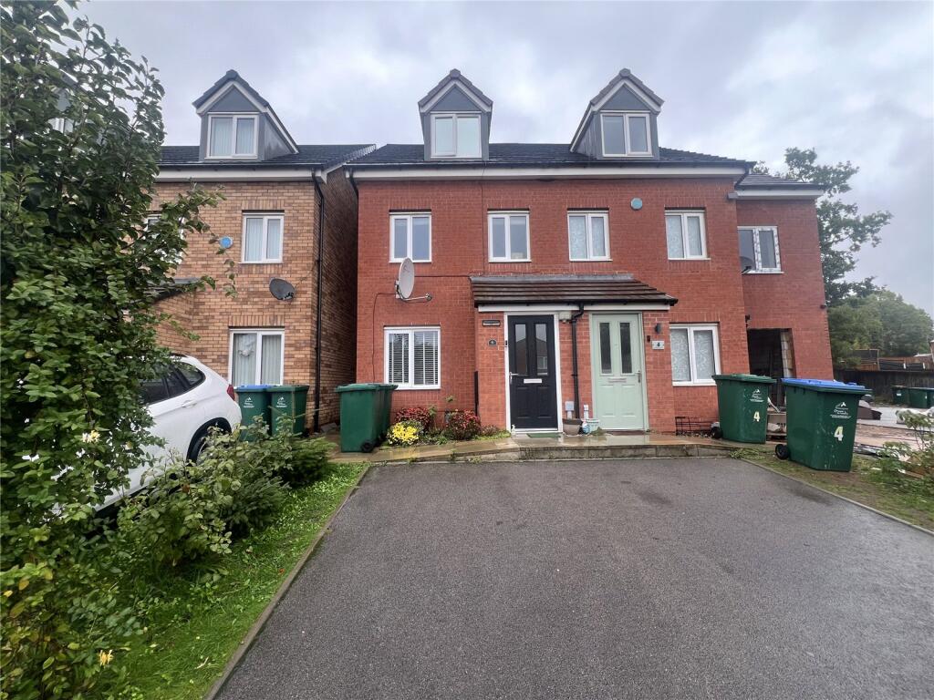
6 HAROLD RAFFERTY CLOSE
COVENTRY, WEST MIDLANDS, CV6 5AW
£250,000
Location
Nearby
Nearest stations, universities and amenities (distance from property).
| Type | Name | Distance |
|---|---|---|
| Shop | Centre Point Mot And Tyre Centre | 0.0 miles |
| Bus stop | Foleshill Rd / Courtaulds Way | 0.1 miles |
| Hospital | George Elliot Medical Centre | 0.4 miles |
| University | Unknown | 1.2 miles |
| Train station | Coventry Arena | 1.6 miles |
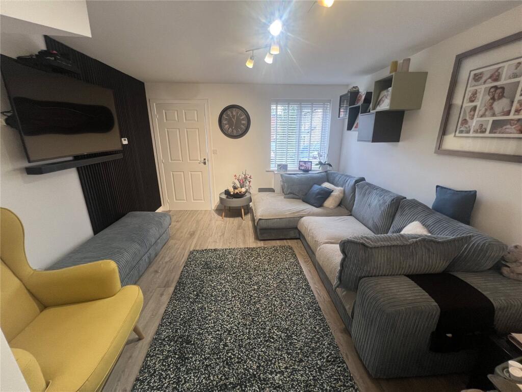
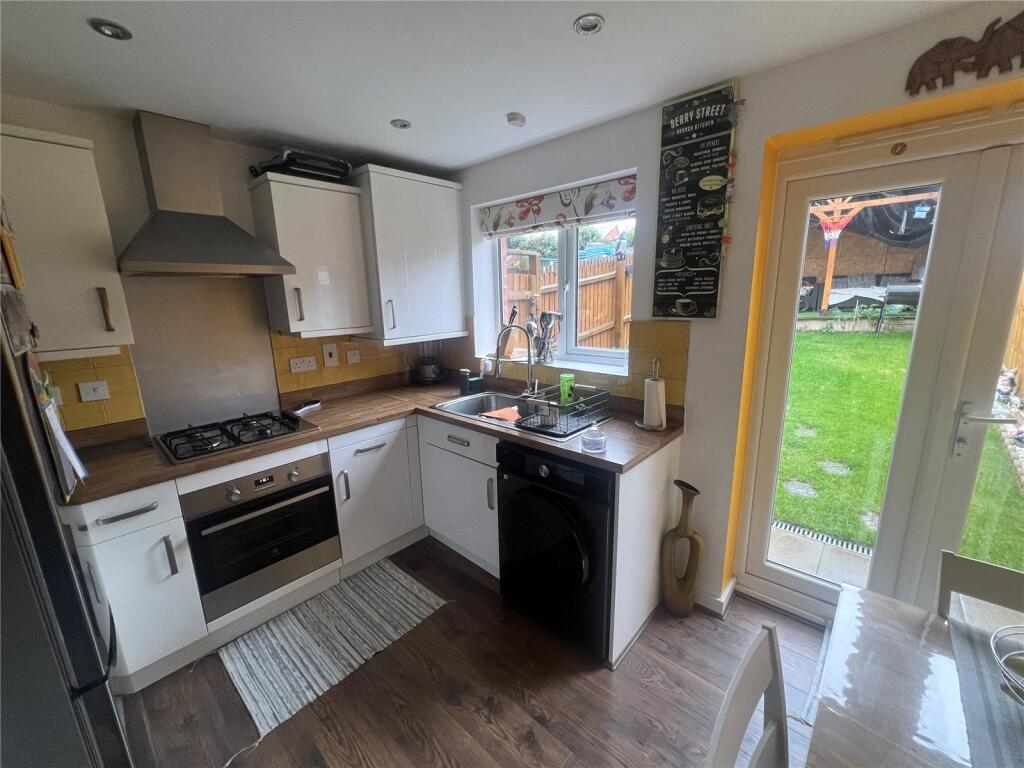
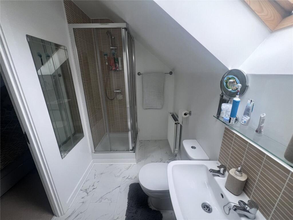
Property details
Tenure
Leasehold
Property type
Terraced
Bedrooms
3
Bathrooms
2
Floor area
84 m²
EPC rating
B
Last sold
£250,000 Jan 2026
Price per m²
£2,976/m²
Local average
£193,961 (165 sales)
Street crime
506 incidents within 1 mile (Apr 2026)
EPC Rating & Upgrade Cost
Current rating: B
Potential rating: A
Inspection date: 14/09/2016
Expiry date: 13/09/2026
Current heating cost: £259/year
Potential heating cost: £259/year
Est. upgrade cost to C: £11,500
Recommendations
- Solar water heating (£4,000 - £6,000)
- Solar photovoltaic panels, 2.5 kWp (£5,000 - £8,000)
Price history
| Event | Date | Price | Type | % change | Today’s value (HPI) | Action |
|---|---|---|---|---|---|---|
| Sold | 30/01/2026 | £250,000 | Terraced | +42.9% | £246,128 to March 2026 | View transaction |
| Sold | 30/09/2016 | £174,995 | Terraced | — | £247,524 to March 2026 | View transaction |
Historic listings
Listing and sale events only where we matched the listing page to a Land Registry sale already on record for this address.
| Event | Date | Price |
|---|---|---|
| sold | 01/01/2026 | £250,000 |
| listed | 03/10/2025 | £250,000 |
| sold | 01/01/2016 | £174,995 |
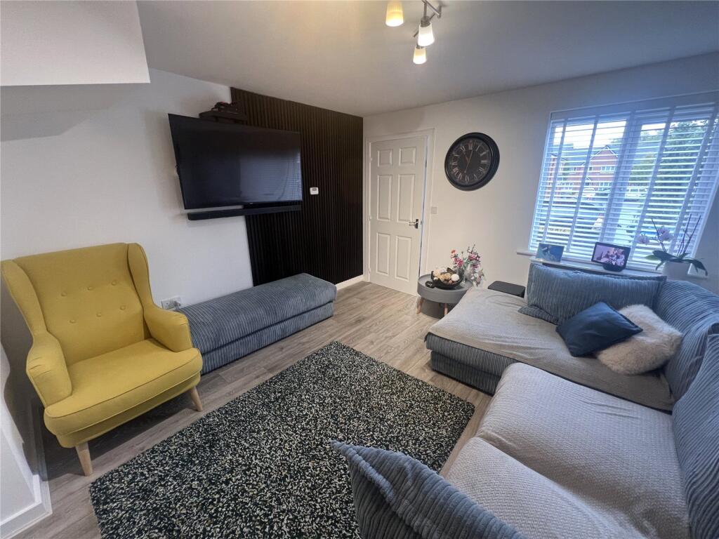
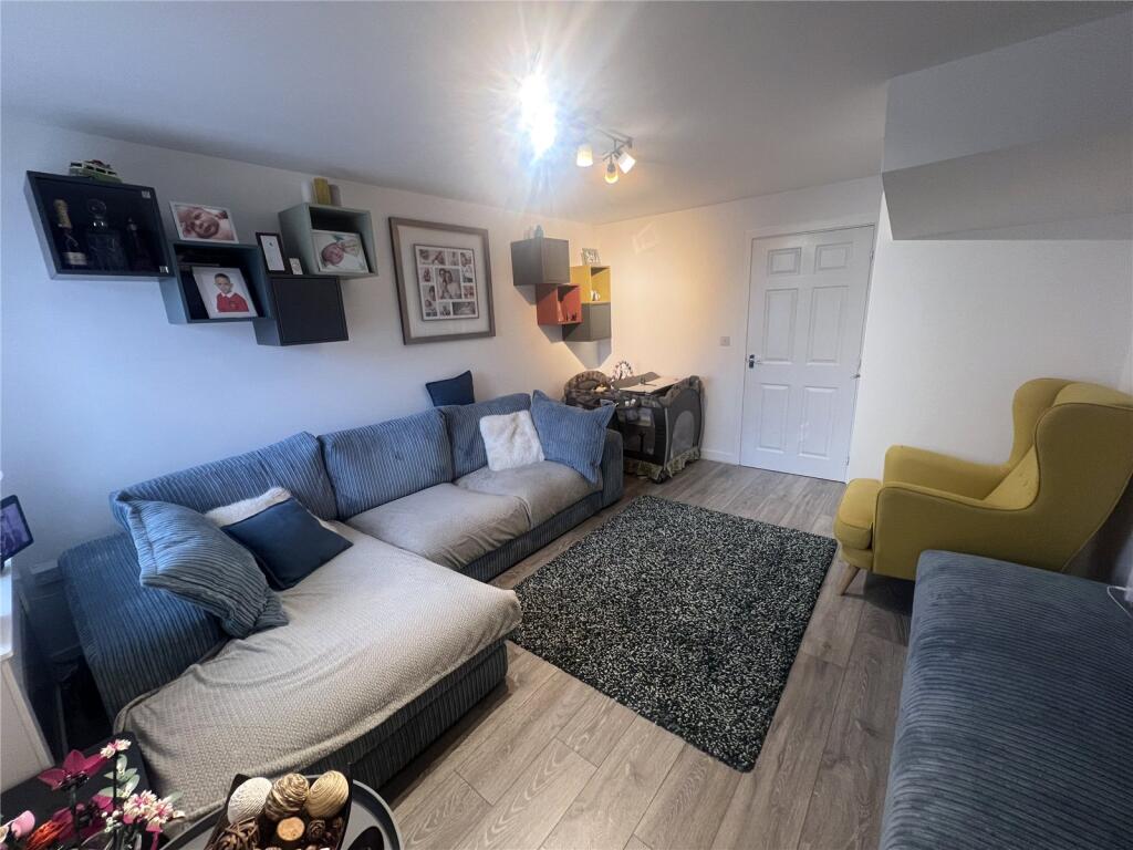
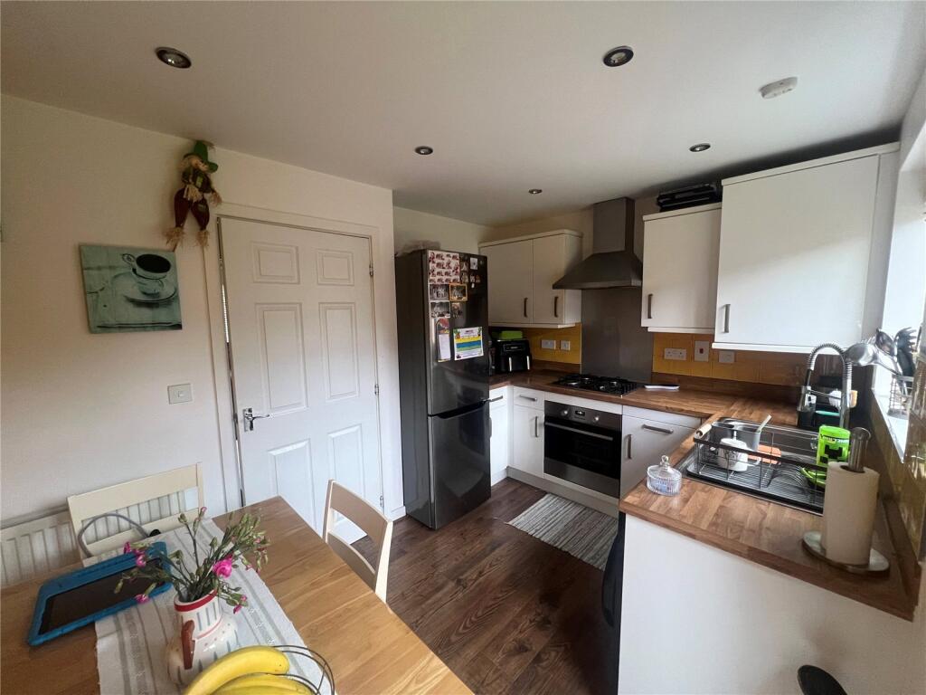
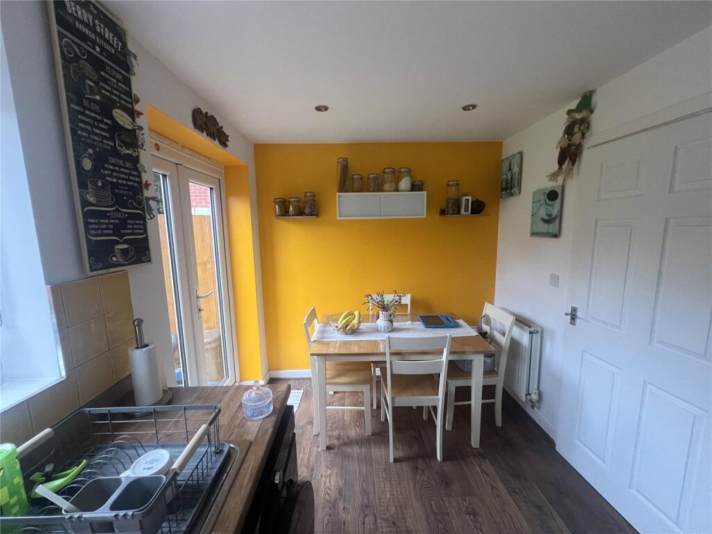
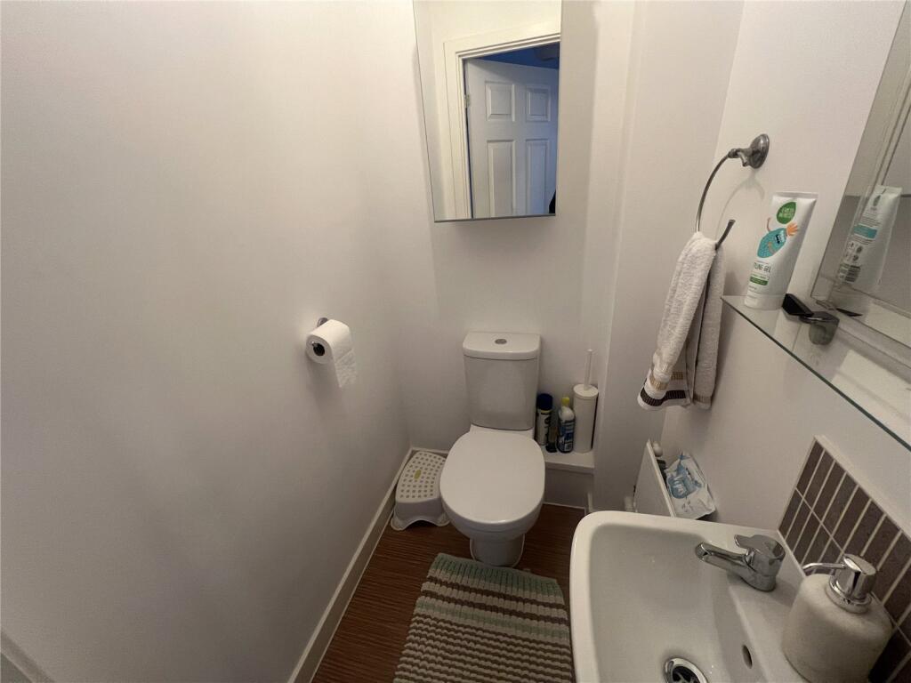
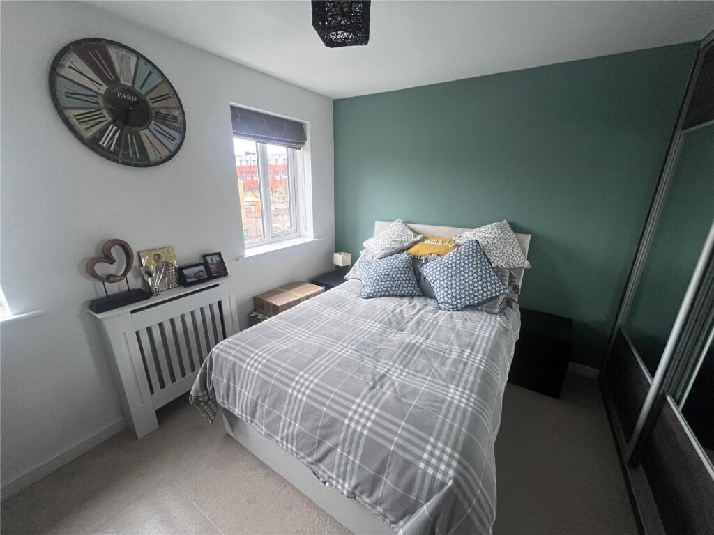
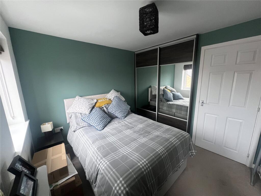
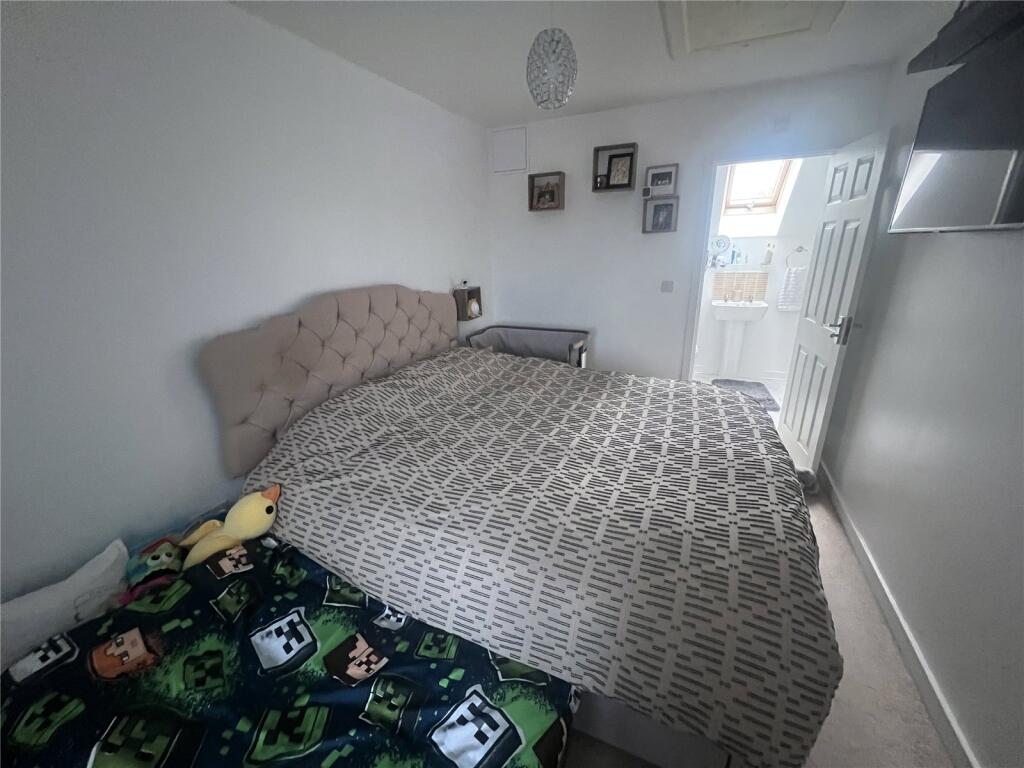
Photos · Open listing
 Open image 1 from listing 167793149
 Open image 2 from listing 167793149
 Open image 3 from listing 167793149
 Open image 4 from listing 167793149
 Open image 5 from listing 167793149
 Open image 6 from listing 167793149
 Open image 7 from listing 167793149
 Open image 8 from listing 167793149
 Open image 9 from listing 167793149
 Open image 10 from listing 167793149
 Open image 11 from listing 167793149
 Open image 12 from listing 167793149
Sold comparables
Same street and nearby sales within 0.25 miles (last 5 years). Land Registry Price Paid Data.
| Address | Price | Date | Type |
|---|---|---|---|
| 20 CHELMSFORD DRIVE, COVENTRY, WEST MIDLANDS, CV6 5NW | £260,000 | 12/12/2025 | Terraced |
| 57 COURTELLE ROAD, COVENTRY, WEST MIDLANDS, CV6 5FH | £190,000 | 26/11/2025 | Terraced |
| 10 HAROLD RAFFERTY CLOSE, COVENTRY, WEST MIDLANDS, CV6 5AW | £269,500 | 12/09/2025 | Terraced |
| 324 FOLESHILL ROAD, FOLESHILL, COVENTRY, WEST MIDLANDS, CV6 5AJ | £125,500 | 14/07/2023 | Terraced |
| 22 BROAD STREET, COVENTRY, WEST MIDLANDS, CV6 5AZ | £125,000 | 22/03/2023 | Terraced |
| 330 FOLESHILL ROAD, FOLESHILL, COVENTRY, WEST MIDLANDS, CV6 5AJ | £125,000 | 09/01/2023 | Terraced |
| 20 MATLOCK ROAD, COVENTRY, WEST MIDLANDS, CV1 4JQ | £163,000 | 06/01/2023 | Terraced |
| 48 PRIDMORE ROAD, COVENTRY, WEST MIDLANDS, CV6 5PF | £171,500 | 14/11/2022 | Terraced |
| 34 CHAPMAN DRIVE, COVENTRY, WEST MIDLANDS, CV6 5HT | £212,000 | 14/11/2022 | Terraced |
| 12 ST PAULS ROAD, COVENTRY, WEST MIDLANDS, CV6 5DF | £187,500 | 11/10/2022 | Terraced |
| 22 ST PAULS ROAD, COVENTRY, WEST MIDLANDS, CV6 5DF | £205,000 | 22/12/2021 | Terraced |
| 10 LUDIANA CLOSE, COVENTRY, WEST MIDLANDS, CV6 5SA | £217,500 | 21/10/2021 | Terraced |
| 69 BROAD STREET, COVENTRY, WEST MIDLANDS, CV6 5AX | £129,000 | 14/10/2021 | Terraced |
| 12 LUDIANA CLOSE, COVENTRY, WEST MIDLANDS, CV6 5SA | £217,500 | 30/09/2021 | Terraced |
| 8 LUDIANA CLOSE, COVENTRY, WEST MIDLANDS, CV6 5SA | £219,500 | 30/09/2021 | Terraced |
| 14 LUDIANA CLOSE, COVENTRY, WEST MIDLANDS, CV6 5SA | £219,500 | 30/09/2021 | Terraced |
| 2 LUDIANA CLOSE, COVENTRY, WEST MIDLANDS, CV6 5SA | £196,000 | 29/09/2021 | Terraced |
| 6 LUDIANA CLOSE, COVENTRY, WEST MIDLANDS, CV6 5SA | £186,000 | 29/09/2021 | Terraced |
| 4 LUDIANA CLOSE, COVENTRY, WEST MIDLANDS, CV6 5SA | £189,000 | 29/09/2021 | Terraced |
| 43 BROAD STREET, COVENTRY, WEST MIDLANDS, CV6 5AX | £130,000 | 23/09/2021 | Terraced |
Area average: £186,900 (20 sales)
For sale comparables
No active for-sale comparables found within 1 mile for the same bedrooms and property type.
Capital growth trend
Land Registry outcode average: last 12 months vs 5y and 10y ago (from sold prices).
House Price Index (HM Land Registry — official index, not sold-price averages): Coventry. Series: Terraced. As of March 2026.
Rental Range
Estimated market rent for Coventry. Low = conservative, Realistic = average, Optimistic = best case.
Based on Local Authority from postcode lookup → Coventry.
LHA (30th percentile) floor for Coventry: Apr 2025 – Mar 2026
Rental Comparables
Residential lets from OpenRent and Rightmove for the area (same bedroom count). Use to validate rent estimates. Student lets are excluded.
| Title | Rent | Beds | Distance | As seen on |
|---|---|---|---|---|
| 3 Bed Terraced House, Widdrington Road, CV1 | £1,000/mo | 3 | 0.4 miles | OpenRent |
Average rent: £1,000/mo (1 listing)
Rent-driven metrics
Based on OpenRent comparables.
- Rent ratio — Monthly rent ÷ purchase price (1% rule). 1%+ = strong, 0.8–1% = okay, <0.8% = weak for cashflow.
- Max investor price — Rent ÷ 0.8%; the price at which rent would be 0.8% of price (Stoke-style target).
- Target investor price — Rent ÷ 1%; the price at which rent would be 1% of price (strong cashflow band).
- Gross yield — Annual rent as % of purchase price (no costs).
- Cost-to-rent — Price ÷ annual rent (from OpenRent comparables). Under 14× = strong, 14–16× = acceptable, 17×+ = compressed.
- Cashflow — Rent minus mortgage, 10% maintenance, £25/mo compliance. Assumes 75% LTV, 3.95% APR (5yr fixed), 25yr term.
- ROI — Annual profit ÷ cash in (deposit + 4% purchase costs).
Flood risk
Zone: 1
Risk: Low
Not in Flood Risk Area (no data)
Street-level crime
| Category | Count |
|---|---|
| Violence and sexual offences | 226 |
| Criminal damage and arson | 49 |
| Vehicle crime | 46 |
| Other theft | 39 |
| Public order | 26 |
| Anti-social behaviour | 24 |
| Shoplifting | 22 |
| Burglary | 18 |
| Robbery | 16 |
| Drugs | 15 |
| Possession of weapons | 13 |
| Other crime | 7 |
| Bicycle theft | 4 |
| Theft from the person | 1 |
| Total incidents | 506 |
Within 1 mile during Apr 2026. Source: data.police.uk (England & Wales).
Schools nearby
Nearest open schools with Ofsted ratings (England). Closed schools are not shown. Data from Get Information about Schools and Ofsted.
| Name | Type | Distance | Ofsted |
|---|---|---|---|
| Broad Heath Community Primary School | Primary | 0.2 miles | Good — 17 Nov 2021 |
| John Gulson Primary School | Primary | 0.4 miles | Good — 3 Jul 2024 |
| St Elizabeth's Catholic Primary School | Primary | 0.4 miles | Good — 10 Mar 2024 |
| Joseph Cash Primary School | Primary | 0.5 miles | Good — 24 Jun 2015 |
| Stanton Bridge Primary School | Primary | 0.5 miles | Good — 12 Jan 2020 |
FENSA
Checking FENSA certificates for this address. Refresh in a few minutes.