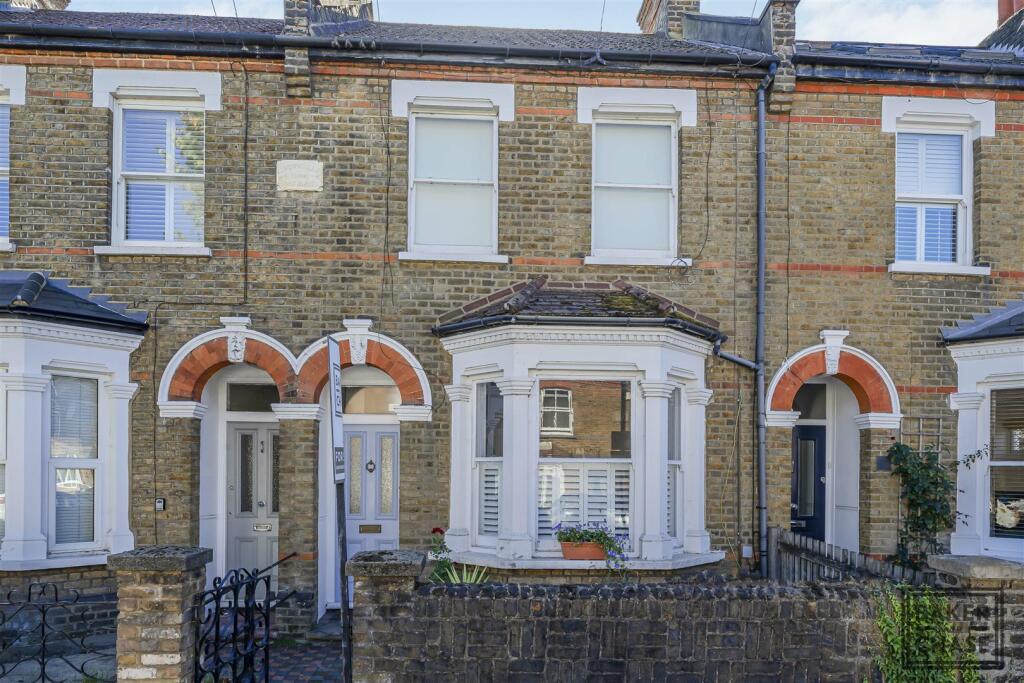
5A HALIFAX ROAD
ENFIELD, GREATER LONDON, EN2 0PP
£327,000
Location
Nearby
Nearest stations, universities and amenities (distance from property).
| Type | Name | Distance |
|---|---|---|
| Shop | Rapunzel's | 0.1 miles |
| Bus stop | Gordon Hill | 0.1 miles |
| Train station | Gordon Hill | 0.4 miles |
| Hospital | Priory Hospital | 2.4 miles |
| University | Flood Hazard Research Centre | 8.0 miles |
Property details
Tenure
Leasehold
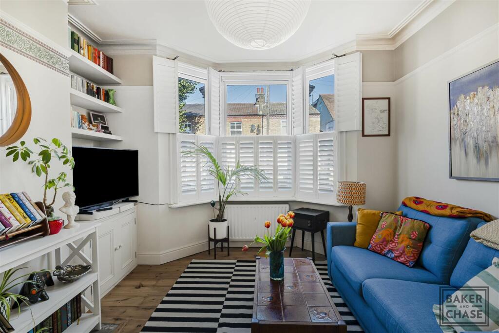
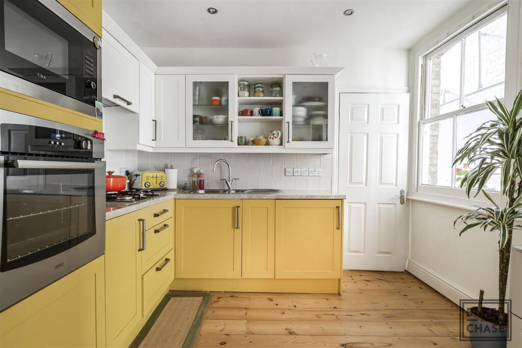
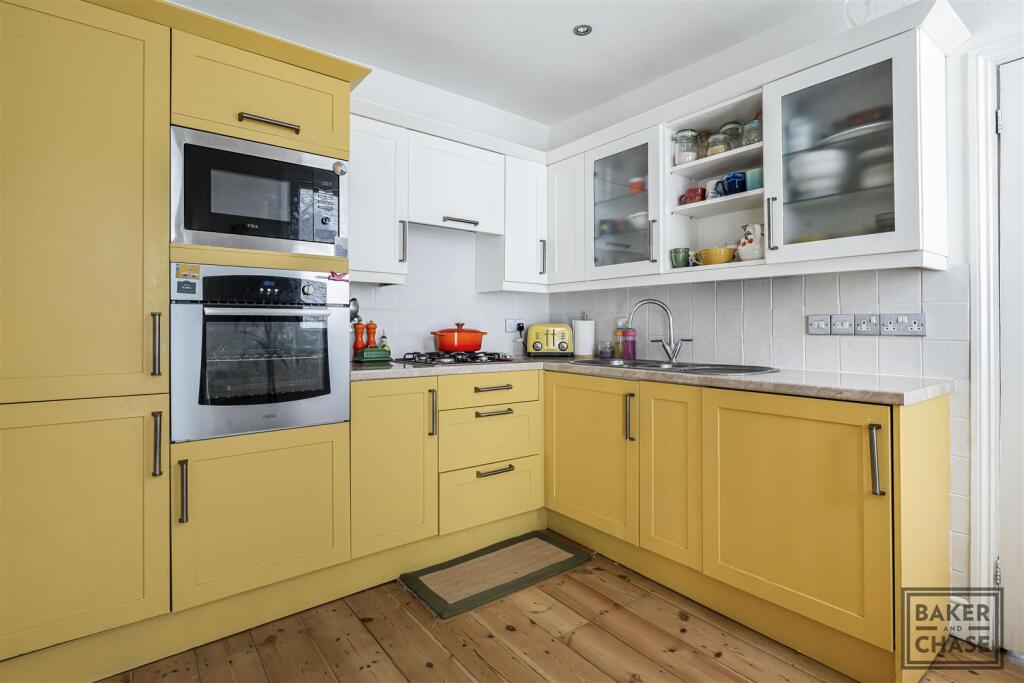
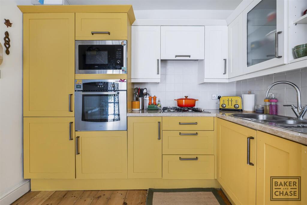
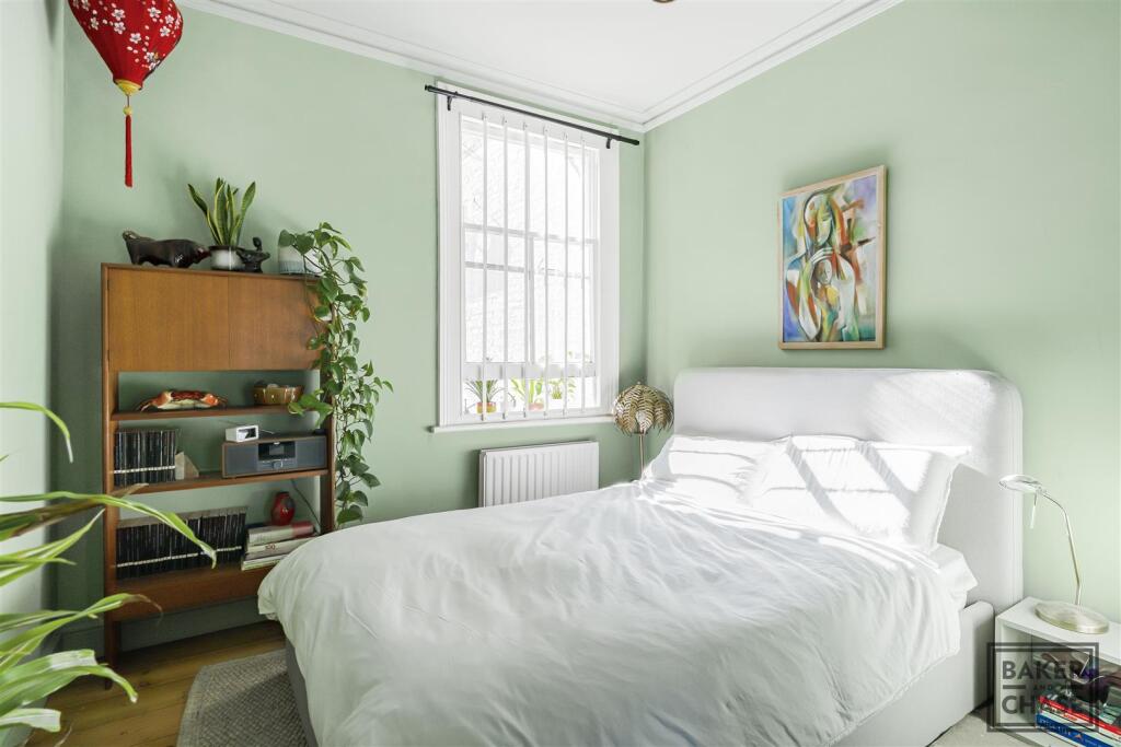
Property type
Flat
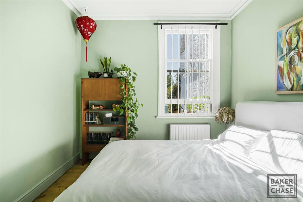
Bedrooms
1
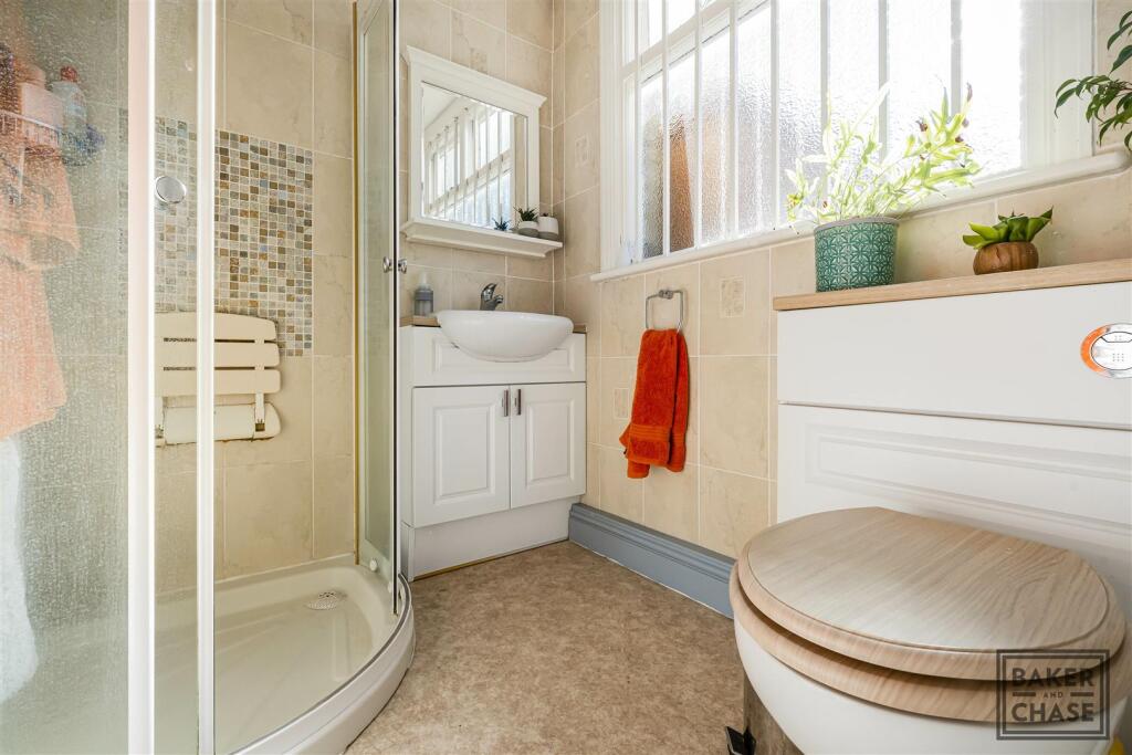
Bathrooms
1
Last sold
£327,000 Jan 2026
Local average
£302,340 (18 sales)
Street crime
362 incidents within 1 mile (Apr 2026)
EPC Rating & Upgrade Cost
Fetching EPC data… Refresh this page in a moment.
Price history
| Event | Date | Price | Type | % change | Today’s value (HPI) | Action |
|---|---|---|---|---|---|---|
| Sold | 26/01/2026 | £327,000 | Flat | +9% | £320,425 to March 2026 | View transaction |
| Sold | 24/04/2023 | £300,000 | Flat | — | £286,392 to March 2026 | View transaction |
Historic listings
Listing and sale events only where we matched the listing page to a Land Registry sale already on record for this address.
| Event | Date | Price |
|---|---|---|
| sold | 01/01/2026 | £327,000 |
| listed | 09/10/2025 | £325,000 |
| sold | 01/01/2023 | £300,000 |
| sold | 01/01/1997 | £58,000 |
| sold | 01/01/1995 | £52,000 |
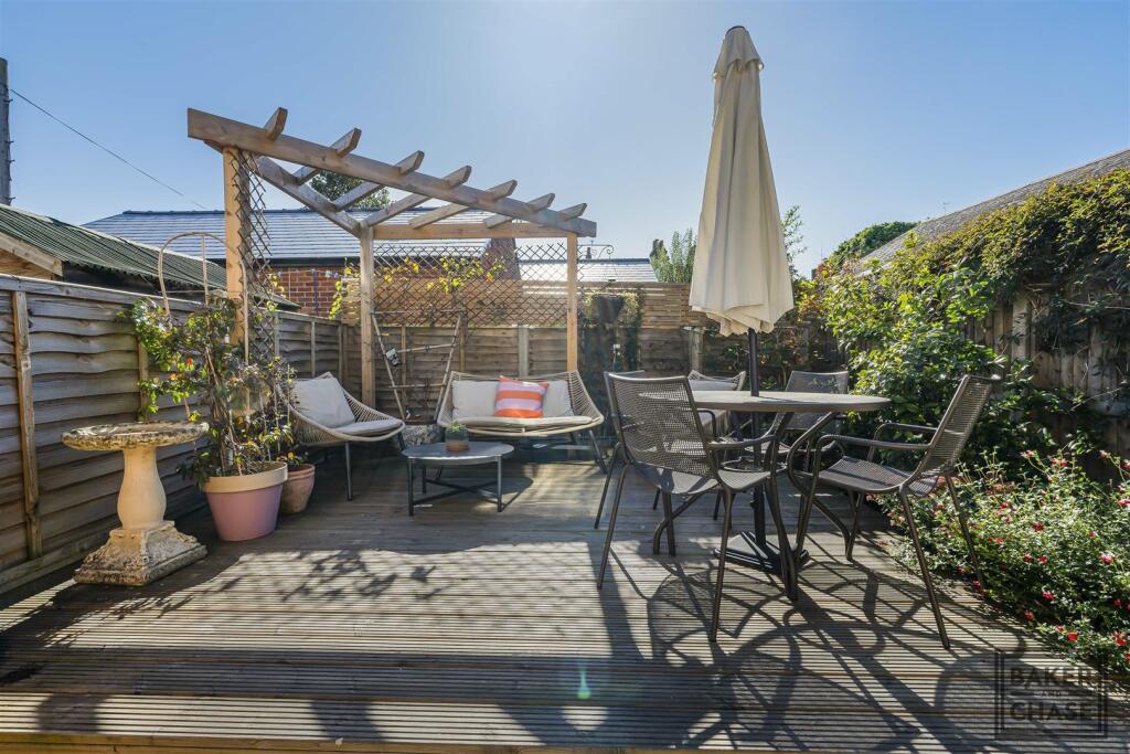
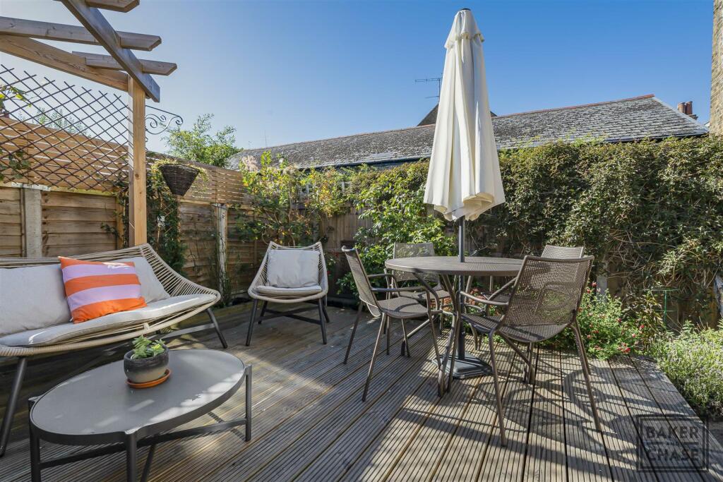
Photos · Open listing
 Open image 1 from listing 168026132
 Open image 2 from listing 168026132
 Open image 3 from listing 168026132
 Open image 4 from listing 168026132
 Open image 5 from listing 168026132
 Open image 6 from listing 168026132
 Open image 7 from listing 168026132
 Open image 8 from listing 168026132
 Open image 9 from listing 168026132
 Open image 10 from listing 168026132
 Open image 11 from listing 168026132
 Open image 12 from listing 168026132
Sold comparables
Same street and nearby sales within 0.25 miles (last 5 years). Land Registry Price Paid Data.
| Address | Price | Date | Type |
|---|---|---|---|
| 108 HALIFAX ROAD, ENFIELD, GREATER LONDON, EN2 0PJ | £256,000 | 09/12/2025 | Flat |
| 9 TIPPETTS CLOSE, ENFIELD, GREATER LONDON, EN2 0QR | £358,000 | 14/11/2025 | Flat |
| BORROWDALE COURT 34 GORDON HILL, ENFIELD, GREATER LONDON, EN2 0QJ | £170,000 | 31/07/2025 | Flat |
| SHELLY LODGE, 20A FLAT 11 GORDON ROAD, ENFIELD, GREATER LONDON, EN2 0PL | £291,125 | 31/03/2025 | Flat |
| SHELLY LODGE, 20A FLAT 5 GORDON ROAD, ENFIELD, GREATER LONDON, EN2 0PL | £355,000 | 04/12/2023 | Flat |
| 108 HALIFAX ROAD, ENFIELD, GREATER LONDON, EN2 0PJ | £256,500 | 26/05/2023 | Flat |
| SHELLY LODGE, 20A FLAT 10 GORDON ROAD, ENFIELD, GREATER LONDON, EN2 0PL | £325,000 | 06/04/2023 | Flat |
| 53A MANOR ROAD, ENFIELD, GREATER LONDON, EN2 0AN | £360,000 | 04/01/2023 | Flat |
| SHELLY LODGE, 20A FLAT 19 GORDON ROAD, ENFIELD, GREATER LONDON, EN2 0PL | £145,000 | 30/09/2022 | Flat |
| BORROWDALE COURT 37 GORDON HILL, ENFIELD, GREATER LONDON, EN2 0QJ | £178,000 | 20/09/2022 | Flat |
| BORROWDALE COURT 30 GORDON HILL, ENFIELD, GREATER LONDON, EN2 0QJ | £158,500 | 14/09/2022 | Flat |
| 124A CHASE SIDE, ENFIELD, GREATER LONDON, EN2 0QN | £285,000 | 02/09/2022 | Flat |
| 94 HALIFAX ROAD, ENFIELD, GREATER LONDON, EN2 0PJ | £277,000 | 24/08/2022 | Flat |
| JOHN KEATS LODGE FLAT 15 CHASE SIDE CRESCENT, ENFIELD, GREATER LONDON, EN2 0JZ | £365,000 | 24/06/2022 | Flat |
| 120 CHASE SIDE, ENFIELD, GREATER LONDON, EN2 0QN | £353,500 | 01/06/2022 | Flat |
| SHELLEY LODGE, 20A FLAT 33 GORDON ROAD, ENFIELD, GREATER LONDON, EN2 0PL | £312,500 | 07/04/2022 | Flat |
| BORROWDALE COURT 12 GORDON HILL, ENFIELD, GREATER LONDON, EN2 0QJ | £167,500 | 25/03/2022 | Flat |
| SHELLEY LODGE, 20A FLAT 16 GORDON ROAD, ENFIELD, GREATER LONDON, EN2 0PL | £114,000 | 25/02/2022 | Flat |
| JOHN KEATS LODGE FLAT 13 CHASE SIDE CRESCENT, ENFIELD, GREATER LONDON, EN2 0JZ | £305,000 | 26/11/2021 | Flat |
| BORROWDALE COURT 4 GORDON HILL, ENFIELD, GREATER LONDON, EN2 0QJ | £208,000 | 21/10/2021 | Flat |
Area average: £262,031 (20 sales)
For sale comparables
No active for-sale comparables found within 1 mile for the same bedrooms and property type.
Capital growth trend
Land Registry outcode average: last 12 months vs 5y and 10y ago (from sold prices).
House Price Index (HM Land Registry — official index, not sold-price averages): Enfield. Series: Flats and maisonettes. As of March 2026.
Rental Range
Estimated market rent for Enfield. Low = conservative, Realistic = average, Optimistic = best case.
Based on Local Authority from postcode lookup → Enfield.
LHA (30th percentile) floor for Outer North London: Apr 2025 – Mar 2026
Rental Comparables
Residential lets from OpenRent and Rightmove for the area (same bedroom count). Use to validate rent estimates. Student lets are excluded.
| Title | Rent | Beds | Distance | As seen on |
|---|---|---|---|---|
| 1 Bed Flat, Shirley Road, EN2 | £1,550/mo | 1 | 0.52 miles | OpenRent |
| Studio Flat, Church Street, EN2 | £1,100/mo | 1 | 0.54 miles | OpenRent |
| 1 Bed Flat, Beresford Gardens, EN1 | £1,500/mo | 1 | 0.8 miles | OpenRent |
| 1 Bed Flat, Strayfield Road, EN2 | £1,500/mo | 1 | 1.07 miles | OpenRent |
Average rent: £1,413/mo (4 listings)
Rent-driven metrics
Based on OpenRent comparables.
- Rent ratio — Monthly rent ÷ purchase price (1% rule). 1%+ = strong, 0.8–1% = okay, <0.8% = weak for cashflow.
- Max investor price — Rent ÷ 0.8%; the price at which rent would be 0.8% of price (Stoke-style target).
- Target investor price — Rent ÷ 1%; the price at which rent would be 1% of price (strong cashflow band).
- Gross yield — Annual rent as % of purchase price (no costs).
- Cost-to-rent — Price ÷ annual rent (from OpenRent comparables). Under 14× = strong, 14–16× = acceptable, 17×+ = compressed.
- Cashflow — Rent minus mortgage, 10% maintenance, £25/mo compliance. Assumes 75% LTV, 3.95% APR (5yr fixed), 25yr term.
- ROI — Annual profit ÷ cash in (deposit + 4% purchase costs).
Flood risk
Zone: 1
Risk: Low
Not in Flood Risk Area (no data)
Street-level crime
| Category | Count |
|---|---|
| Violence and sexual offences | 111 |
| Anti-social behaviour | 58 |
| Shoplifting | 54 |
| Vehicle crime | 27 |
| Other theft | 23 |
| Robbery | 21 |
| Criminal damage and arson | 20 |
| Public order | 12 |
| Burglary | 11 |
| Drugs | 9 |
| Theft from the person | 6 |
| Other crime | 5 |
| Possession of weapons | 5 |
| Total incidents | 362 |
Within 1 mile during Apr 2026. Source: data.police.uk (England & Wales).
Schools nearby
Nearest open schools with Ofsted ratings (England). Closed schools are not shown. Data from Get Information about Schools and Ofsted.
| Name | Type | Distance | Ofsted |
|---|---|---|---|
| Chase Side Primary School | Primary | 0.2 miles | Good — 3 Mar 2022 |
| St George's Catholic Primary School | Primary | 0.2 miles | Good — 3 Nov 2019 |
| St Michael's CofE Primary School | Primary | 0.3 miles | Good — 25 May 2012 |
| Chace Community School | Secondary | 0.4 miles | Good — 16 Jun 2022 |
| St Andrew's CofE Primary School | Primary | 0.4 miles | Good — 8 May 2015 |
FENSA
Checking FENSA certificates for this address. Refresh in a few minutes.