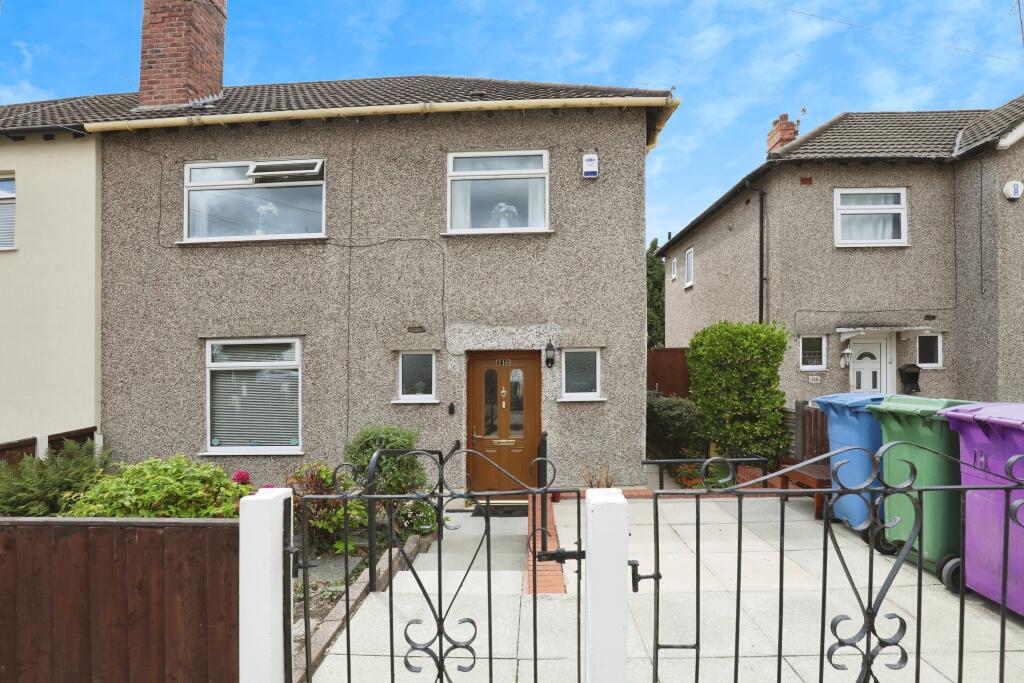
116 STAMFORDHAM DRIVE
LIVERPOOL, MERSEYSIDE, L19 4XF
£203,000
Location
Nearby
Nearest stations, universities and amenities (distance from property).
| Type | Name | Distance |
|---|---|---|
| Bus stop | LONG LANE/DINESDEN ROAD | 0.1 miles |
| Shop | M to go | 0.3 miles |
| Train station | Liverpool South Parkway | 0.3 miles |
| Hospital | Marie Curie Hospice | 1.5 miles |
| University | Liverpool Hope University | 2.0 miles |
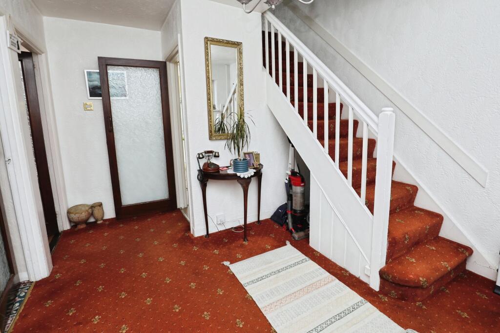
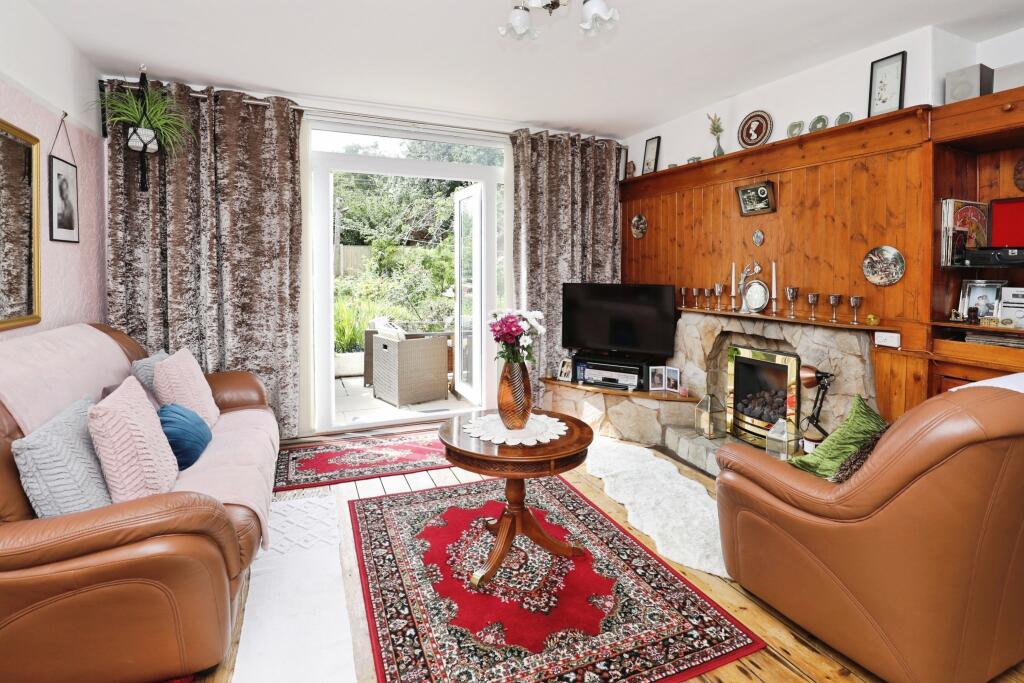
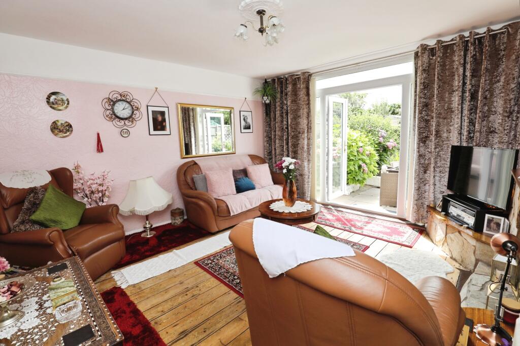
Property details
Tenure
Freehold
Property type
Semi-detached
Bedrooms (EPC estimate)
3
Floor area
89 m²
EPC rating
F
Year built
England and Wales: 1950-1966
Last sold
£203,000 Feb 2026
Price per m²
£2,281/m²
Local average
£326,058 (26 sales)
Street crime
168 incidents within 1 mile (Mar 2026)
EPC Rating & Upgrade Cost
Current rating: F
Potential rating: C
Inspection date: 09/11/2023
Current heating cost: £3,109/year
Potential heating cost: £1,463/year
Est. upgrade cost to C: £19,565
Recommendations
- Floor insulation (solid floor) (£4,000 - £6,000)
- Low energy lighting for all fixed outlets (£65)
- Change room heaters to condensing boiler (£3,000 - £7,000)
- Solar water heating (£4,000 - £6,000)
- Solar photovoltaic panels, 2.5 kWp (£3,500 - £5,500)
Price history
| Event | Date | Price | Type | % change | Today’s value (HPI) | Action |
|---|---|---|---|---|---|---|
| Sold | 19/02/2026 | £203,000 | Semi-detached | +208.5% | £203,000 to February 2026 | View transaction |
| Sold | 22/02/2021 | £65,794 | Semi-detached | — | £83,566 to February 2026 | View transaction |
Historic listings
Listing and sale events only where we matched the listing page to a Land Registry sale already on record for this address.
| Event | Date | Price |
|---|---|---|
| sold | 01/01/2026 | £203,000 |
| listed | 28/07/2025 | £220,000 |
| sold | 01/01/2024 | £117,106 |
| sold | 01/01/2021 | £65,794 |
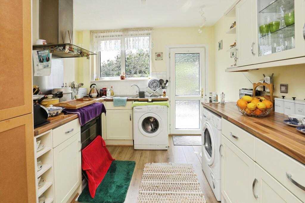
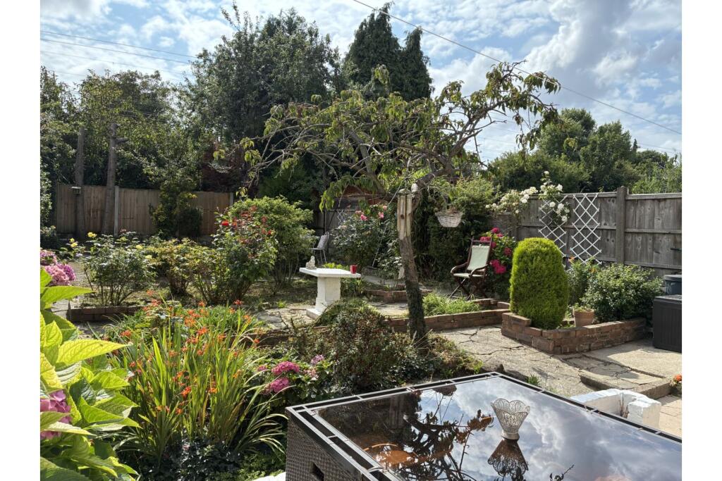
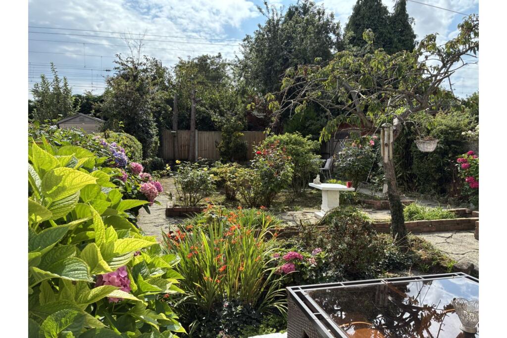
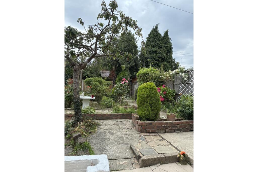
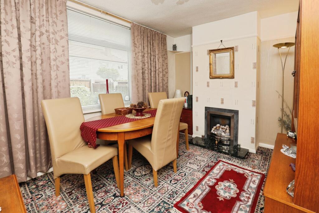
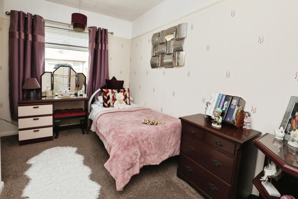
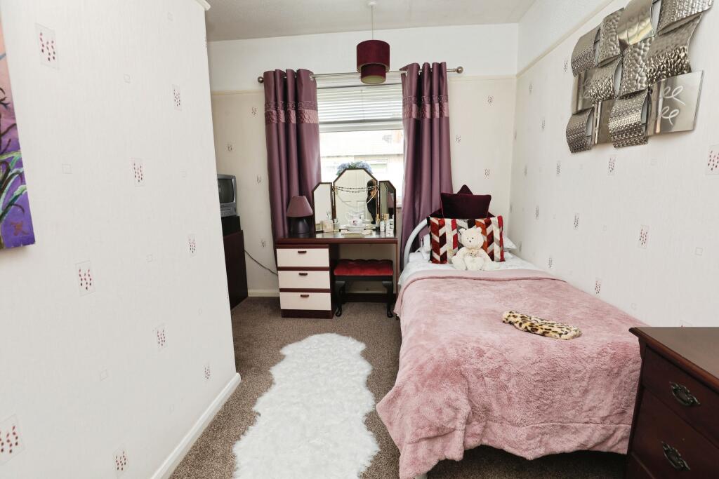
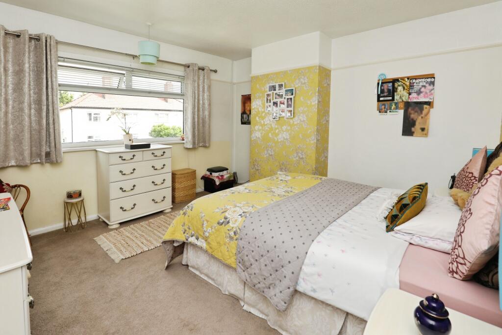
Photos · Open listing
 Open image 1 from listing 165051482
 Open image 2 from listing 165051482
 Open image 3 from listing 165051482
 Open image 4 from listing 165051482
 Open image 5 from listing 165051482
 Open image 6 from listing 165051482
 Open image 7 from listing 165051482
 Open image 8 from listing 165051482
 Open image 9 from listing 165051482
 Open image 10 from listing 165051482
 Open image 11 from listing 165051482
 Open image 12 from listing 165051482
Sold comparables
Same street and nearby sales within 0.25 miles (last 5 years). Land Registry Price Paid Data.
| Address | Price | Date | Type |
|---|---|---|---|
| 22 LONG LANE, GARSTON, LIVERPOOL, MERSEYSIDE, L19 6PF | £250,000 | 16/01/2026 | Semi-detached |
| 13 HARDINGE ROAD, ALLERTON, LIVERPOOL, MERSEYSIDE, L19 4UN | £310,000 | 25/11/2025 | Semi-detached |
| 20 BURMAN CRESCENT, LIVERPOOL, MERSEYSIDE, L19 6PS | £245,000 | 28/07/2025 | Semi-detached |
| 70 LONG LANE, GARSTON, LIVERPOOL, MERSEYSIDE, L19 6PG | £152,000 | 04/12/2023 | Semi-detached |
| 40 STAMFORDHAM DRIVE, LIVERPOOL, MERSEYSIDE, L19 4XE | £300,000 | 18/10/2023 | Semi-detached |
| 32 BLOMFIELD ROAD, LIVERPOOL, MERSEYSIDE, L19 4UY | £225,000 | 12/10/2023 | Semi-detached |
| 34 HARDINGE ROAD, ALLERTON, LIVERPOOL, MERSEYSIDE, L19 4UW | £225,000 | 11/10/2023 | Semi-detached |
| 101 WOOLTON ROAD, GARSTON, LIVERPOOL, MERSEYSIDE, L19 6PL | £196,000 | 11/08/2023 | Semi-detached |
| 64 HARDINGE ROAD, ALLERTON, LIVERPOOL, MERSEYSIDE, L19 4UW | £252,200 | 04/08/2023 | Semi-detached |
| 22 HARDINGE ROAD, ALLERTON, LIVERPOOL, MERSEYSIDE, L19 4UW | £225,000 | 16/06/2023 | Semi-detached |
| 18 VERNEY CRESCENT SOUTH, LIVERPOOL, MERSEYSIDE, L19 4UT | £220,000 | 30/05/2023 | Semi-detached |
| 22 BLOMFIELD ROAD, LIVERPOOL, MERSEYSIDE, L19 4UY | £210,000 | 15/05/2023 | Semi-detached |
| 6 PERRIAM ROAD, LIVERPOOL, MERSEYSIDE, L19 4TJ | £145,000 | 16/03/2023 | Semi-detached |
| 10 VERNEY CRESCENT SOUTH, LIVERPOOL, MERSEYSIDE, L19 4UT | £250,000 | 19/12/2022 | Semi-detached |
| 4 LONGCROFT SQUARE, LIVERPOOL, MERSEYSIDE, L19 4TD | £220,000 | 16/12/2022 | Semi-detached |
| 9 BURMAN ROAD, ALLERTON, LIVERPOOL, MERSEYSIDE, L19 6PN | £220,000 | 25/11/2022 | Semi-detached |
| 2 BURMAN ROAD, ALLERTON, LIVERPOOL, MERSEYSIDE, L19 6PN | £215,000 | 25/11/2022 | Semi-detached |
| 24 BURMAN CRESCENT, LIVERPOOL, MERSEYSIDE, L19 6PS | £280,000 | 11/11/2022 | Semi-detached |
| 1 BLOMFIELD ROAD, LIVERPOOL, MERSEYSIDE, L19 4UY | £274,000 | 24/10/2022 | Semi-detached |
| 6 MOSTYN AVENUE, GARSTON, LIVERPOOL, MERSEYSIDE, L19 4UL | £235,000 | 03/10/2022 | Semi-detached |
Area average: £232,460 (20 sales)
For sale comparables
No active for-sale comparables found within 1 mile for the same bedrooms and property type.
Capital growth trend
Land Registry outcode average: last 12 months vs 5y and 10y ago (from sold prices).
House Price Index (HM Land Registry — official index, not sold-price averages): Liverpool. Series: Semi-detached. As of February 2026.
Rental Range
Estimated market rent for Liverpool. Low = conservative, Realistic = average, Optimistic = best case.
Based on Local Authority from postcode lookup → Liverpool.
LHA (30th percentile) floor for Greater Liverpool: Apr 2025 – Mar 2026
Rental Comparables
Residential lets from OpenRent and Rightmove for the area, preferring 3-bedroom lets (EPC estimate for this property). Listings without a bedroom count may still appear — check the Beds column. Student lets are excluded.
| Title | Rent | Beds | Distance | As seen on |
|---|---|---|---|---|
| 3 Bed Semi-Detached House, Hamlin Road, L19 | £1,100/mo | 3 | 0.46 miles | OpenRent |
Average rent: £1,100/mo (1 listing)
Rent-driven metrics
Based on OpenRent comparables.
- Rent ratio — Monthly rent ÷ purchase price (1% rule). 1%+ = strong, 0.8–1% = okay, <0.8% = weak for cashflow.
- Max investor price — Rent ÷ 0.8%; the price at which rent would be 0.8% of price (Stoke-style target).
- Target investor price — Rent ÷ 1%; the price at which rent would be 1% of price (strong cashflow band).
- Gross yield — Annual rent as % of purchase price (no costs).
- Cost-to-rent — Price ÷ annual rent (from OpenRent comparables). Under 14× = strong, 14–16× = acceptable, 17×+ = compressed.
- Cashflow — Rent minus mortgage, 10% maintenance, £25/mo compliance. Assumes 75% LTV, 3.95% APR (5yr fixed), 25yr term.
- ROI — Annual profit ÷ cash in (deposit + 4% purchase costs).
Flood risk
Zone: 1
Risk: Low
Not in Flood Risk Area (no data)
Street-level crime
| Category | Count |
|---|---|
| Violence and sexual offences | 66 |
| Anti-social behaviour | 24 |
| Criminal damage and arson | 22 |
| Public order | 20 |
| Shoplifting | 15 |
| Burglary | 5 |
| Drugs | 5 |
| Other theft | 4 |
| Other crime | 3 |
| Vehicle crime | 2 |
| Possession of weapons | 1 |
| Robbery | 1 |
| Total incidents | 168 |
Within 1 mile during Mar 2026. Source: data.police.uk (England & Wales).
Schools nearby
Nearest open schools with Ofsted ratings (England). Closed schools are not shown. Data from Get Information about Schools and Ofsted.
| Name | Type | Distance | Ofsted |
|---|---|---|---|
| Springwood Heath Primary School | Primary | 0.3 miles | — (Inspected (no overall grade)) |
| Garston Church of England Primary School | Primary | 0.4 miles | Good — 20 Oct 2022 |
| Gilmour Primary School | Primary | 0.5 miles | — (No rating) |
| The Academy of St Nicholas | Secondary | 0.5 miles | Good — 26 Jan 2023 |
| Prudentia Education | Other | 0.6 miles | Good — 1 May 2024 |
FENSA
Checking FENSA certificates for this address. Refresh in a few minutes.