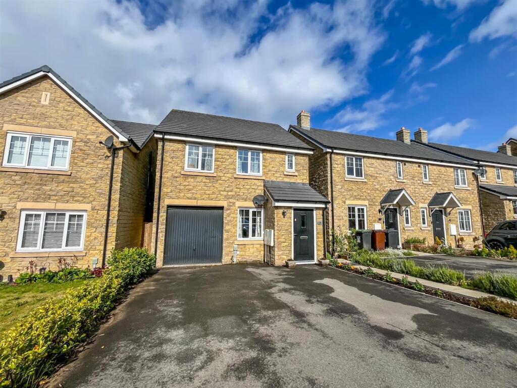
18 WOODLARK CLOSE
BUXTON, HIGH PEAK, DERBYSHIRE, SK17 9UR
£261,000
Location
Nearby
Nearest stations, universities and amenities (distance from property).
| Type | Name | Distance |
|---|---|---|
| Bus stop | Unknown | 0.1 miles |
| Shop | ExtraCare | 0.5 miles |
| Hospital | Buxton Hospital & Corbar Birth Centre | 0.9 miles |
| Train station | Buxton Miniature Railway | 1.7 miles |
| University | University of Derby, Buxton | 1.8 miles |
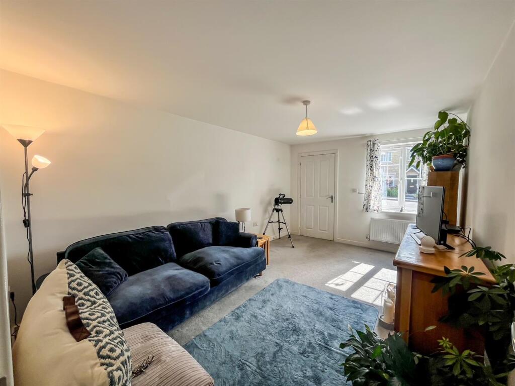
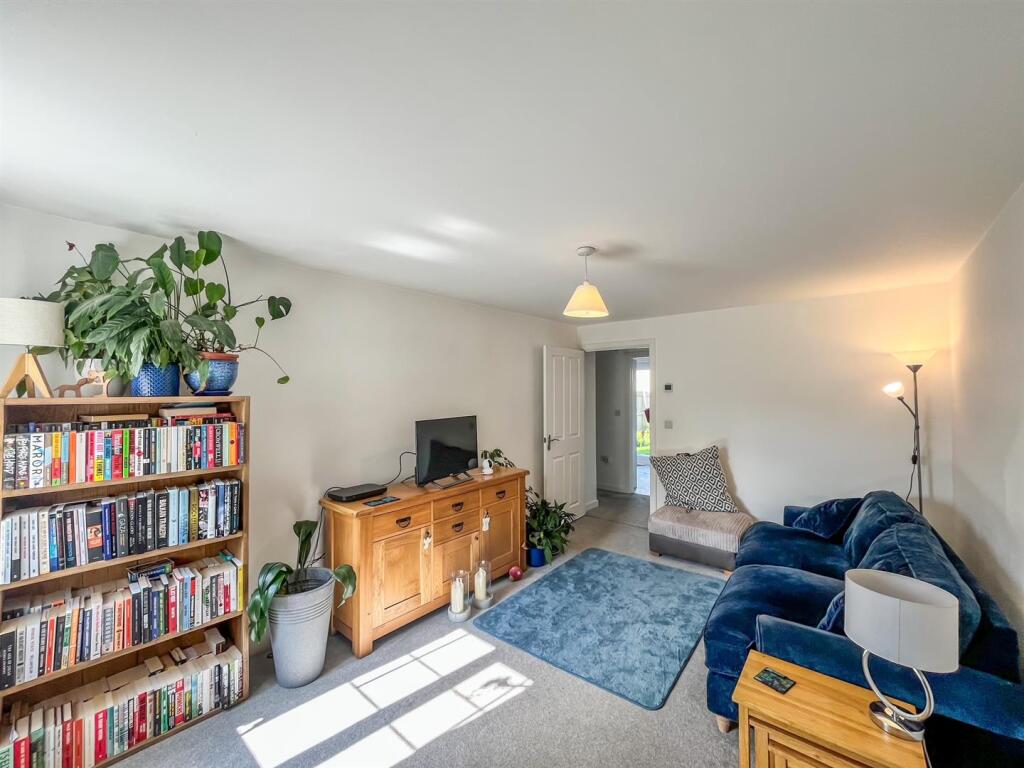
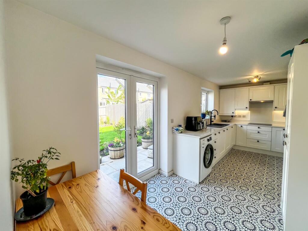
Property details
Tenure
Freehold
Property type
Detached
Bedrooms
3
Bathrooms
2
Floor area
86 m²
EPC rating
B
Last sold
£261,000 Jan 2026
Price per m²
£3,035/m²
Local average
£444,400 (20 sales)
Street crime
24 incidents within 1 mile (Apr 2026)
EPC Rating & Upgrade Cost
Current rating: B
Potential rating: A
Inspection date: 15/10/2021
Expiry date: 14/10/2031
Est. upgrade cost to C: £9,500
Recommendations
- Solar water heating (£4,000 - £6,000)
- Solar photovoltaic panels, 2.5 kWp (£3,500 - £5,500)
Price history
| Event | Date | Price | Type | % change | Today’s value (HPI) | Action |
|---|---|---|---|---|---|---|
| Sold | 23/01/2026 | £261,000 | Detached | +16% | £258,105 to March 2026 | View transaction |
| Sold | 29/10/2021 | £224,995 | Detached | — | £273,573 to March 2026 | View transaction |
Historic listings
Listing and sale events only where we matched the listing page to a Land Registry sale already on record for this address.
| Event | Date | Price |
|---|---|---|
| sold | 01/01/2026 | £261,000 |
| listed | 10/06/2025 | £264,000 |
| sold | 01/01/2021 | £224,995 |
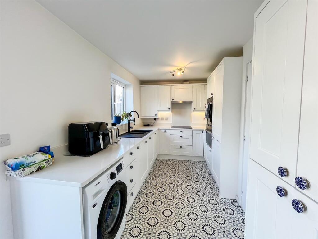
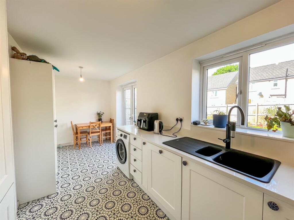
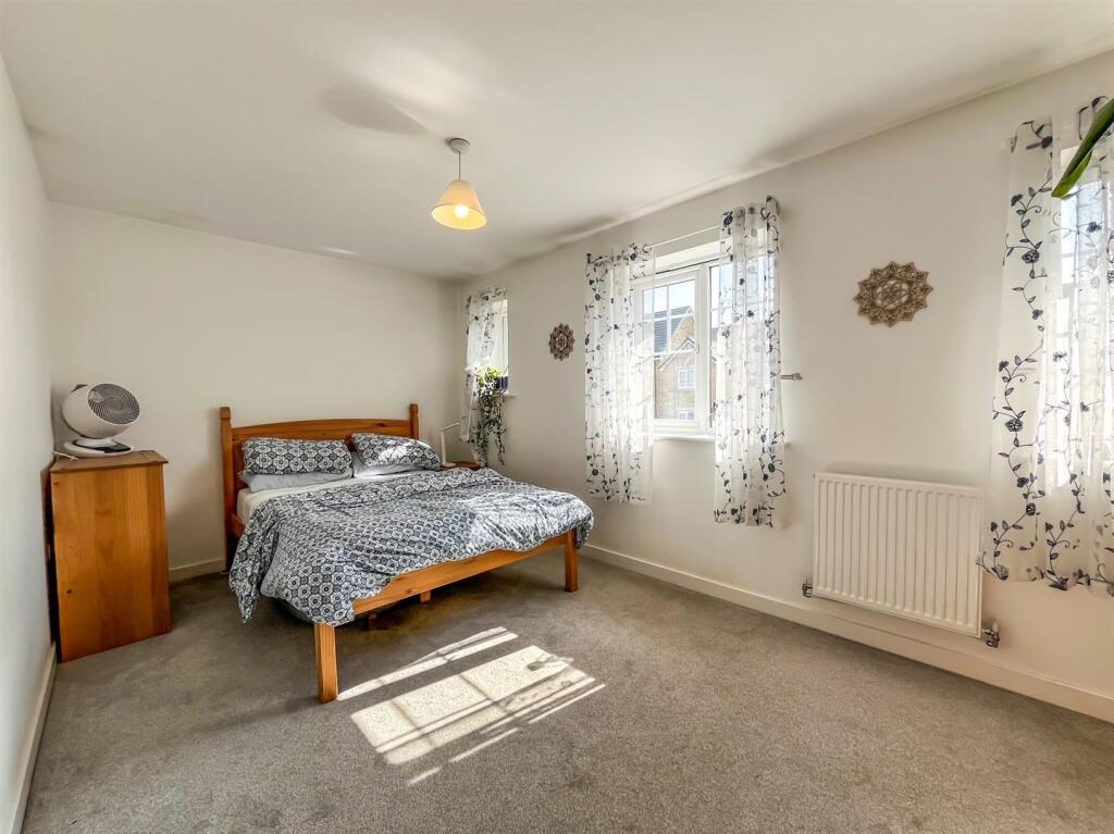
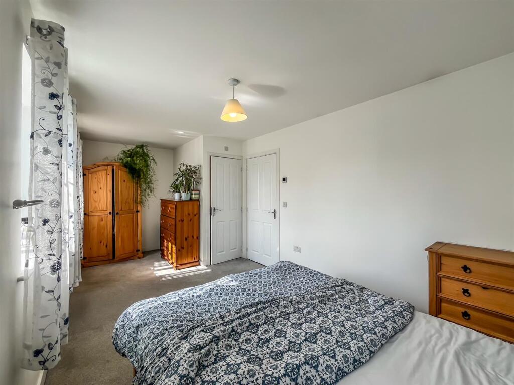
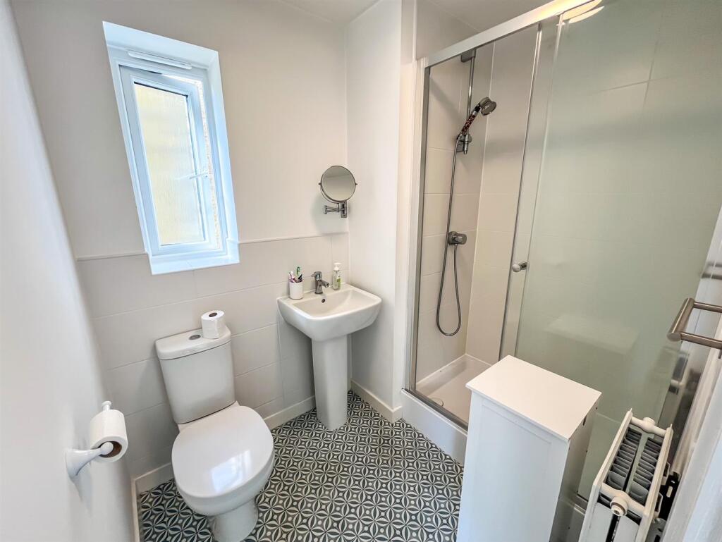
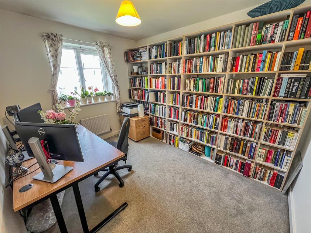
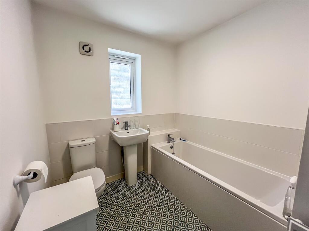
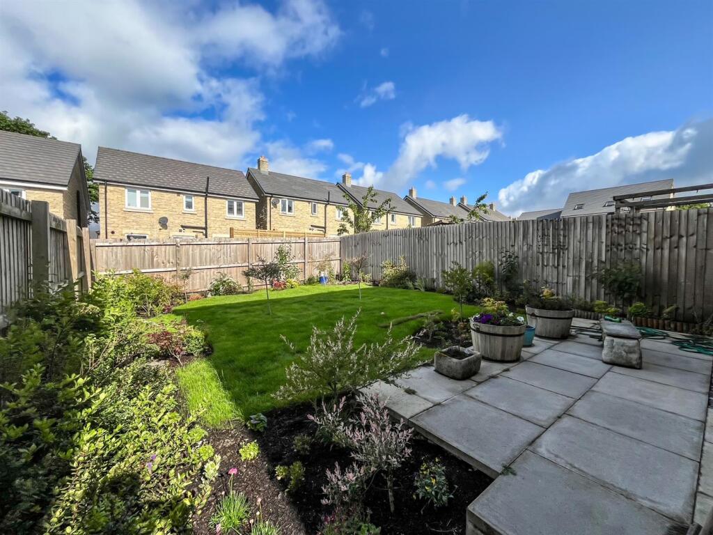
Photos · Open listing
 Open image 1 from listing 163087058
 Open image 2 from listing 163087058
 Open image 3 from listing 163087058
 Open image 4 from listing 163087058
 Open image 5 from listing 163087058
 Open image 6 from listing 163087058
 Open image 7 from listing 163087058
 Open image 8 from listing 163087058
 Open image 9 from listing 163087058
 Open image 10 from listing 163087058
 Open image 11 from listing 163087058
 Open image 12 from listing 163087058
Sold comparables
Same street and nearby sales within 0.25 miles (last 5 years). Land Registry Price Paid Data.
| Address | Price | Date | Type |
|---|---|---|---|
| 54 CURLEW AVENUE, BUXTON, HIGH PEAK, DERBYSHIRE, SK17 9UN | £380,000 | 24/11/2025 | Detached |
| 27 QUARTZ DRIVE, BUXTON, HIGH PEAK, DERBYSHIRE, SK17 9GD | £349,995 | 21/03/2025 | Detached |
| 51 CURLEW AVENUE, BUXTON, HIGH PEAK, DERBYSHIRE, SK17 9UN | £299,995 | 30/11/2023 | Detached |
| 8 COLLEGE DRIVE, BUXTON, HIGH PEAK, DERBYSHIRE, SK17 9FZ | £317,000 | 28/11/2023 | Detached |
| 83 CURLEW AVENUE, BUXTON, HIGH PEAK, DERBYSHIRE, SK17 9UN | £334,995 | 31/10/2023 | Detached |
| 25 BEE LOW ROAD, BUXTON, HIGH PEAK, DERBYSHIRE, SK17 9GF | £352,000 | 20/10/2023 | Detached |
| 2 FLINT WAY, BUXTON, HIGH PEAK, DERBYSHIRE, SK17 9GN | £393,000 | 29/09/2023 | Detached |
| 47 CURLEW AVENUE, BUXTON, HIGH PEAK, DERBYSHIRE, SK17 9UN | £264,995 | 29/09/2023 | Detached |
| 23 WOODLARK CLOSE, BUXTON, HIGH PEAK, DERBYSHIRE, SK17 9UR | £319,995 | 31/08/2023 | Detached |
| 21 WOODLARK CLOSE, BUXTON, HIGH PEAK, DERBYSHIRE, SK17 9UR | £319,995 | 31/07/2023 | Detached |
| 4 FLINT WAY, BUXTON, HIGH PEAK, DERBYSHIRE, SK17 9GN | £332,000 | 29/06/2023 | Detached |
| 48 CURLEW AVENUE, BUXTON, HIGH PEAK, DERBYSHIRE, SK17 9UN | £334,995 | 27/03/2023 | Detached |
| 46 CURLEW AVENUE, BUXTON, HIGH PEAK, DERBYSHIRE, SK17 9UN | £259,995 | 22/12/2022 | Detached |
| 1 CURLEW AVENUE, BUXTON, HIGH PEAK, DERBYSHIRE, SK17 9UN | £319,995 | 22/12/2022 | Detached |
| 11 WOODLARK CLOSE, BUXTON, HIGH PEAK, DERBYSHIRE, SK17 9UR | £299,995 | 22/12/2022 | Detached |
| 54 CURLEW AVENUE, BUXTON, HIGH PEAK, DERBYSHIRE, SK17 9UN | £339,995 | 22/12/2022 | Detached |
| 50 CURLEW AVENUE, BUXTON, HIGH PEAK, DERBYSHIRE, SK17 9UN | £289,995 | 22/12/2022 | Detached |
| 15 WOODLARK CLOSE, BUXTON, HIGH PEAK, DERBYSHIRE, SK17 9UR | £329,995 | 21/12/2022 | Detached |
| 52 CURLEW AVENUE, BUXTON, HIGH PEAK, DERBYSHIRE, SK17 9UN | £319,995 | 21/12/2022 | Detached |
| 42 CURLEW AVENUE, BUXTON, HIGH PEAK, DERBYSHIRE, SK17 9UN | £295,495 | 30/11/2022 | Detached |
Area average: £322,721 (20 sales)
For sale comparables
Active for-sale listings within 1 mile, matched to the same property type and bedroom count.
| Address | Price | Beds | Type | Distance |
|---|---|---|---|---|
| Woodlark Close, Buxton | £325,000 | 3 | Detached | 0.03 mi |
| College Drive, Harpur Hill, Buxton | £320,000 | 3 | Detached | 0.11 mi |
| Ashford Drive, Buxton | £310,000 | 3 | Detached | 0.33 mi |
| Clover Lane, Buxton | £310,000 | 3 | Detached | 0.42 mi |
| Central Drive, Buxton, Derbyshire, SK17 | £360,000 | 3 | Bungalow | 0.76 mi |
Capital growth trend
Land Registry outcode average: last 12 months vs 5y and 10y ago (from sold prices).
House Price Index (HM Land Registry — official index, not sold-price averages): High Peak. Series: Detached. As of March 2026.
Rental Range
Estimated market rent for High Peak. Low = conservative, Realistic = average, Optimistic = best case.
Based on Local Authority from postcode lookup → High Peak.
LHA (30th percentile) floor for Peaks & Dales: Apr 2025 – Mar 2026
Rental Comparables
Loading rental comparables for this postcode. Refresh in a few minutes.
Rent-driven metrics
Based on Area rent estimate.
- Rent ratio — Monthly rent ÷ purchase price (1% rule). 1%+ = strong, 0.8–1% = okay, <0.8% = weak for cashflow.
- Max investor price — Rent ÷ 0.8%; the price at which rent would be 0.8% of price (Stoke-style target).
- Target investor price — Rent ÷ 1%; the price at which rent would be 1% of price (strong cashflow band).
- Gross yield — Annual rent as % of purchase price (no costs).
Flood risk
Zone: 1
Risk: Low
Not in Flood Risk Area (no data)
Street-level crime
| Category | Count |
|---|---|
| Violence and sexual offences | 11 |
| Burglary | 5 |
| Anti-social behaviour | 3 |
| Public order | 3 |
| Criminal damage and arson | 1 |
| Other theft | 1 |
| Total incidents | 24 |
Within 1 mile during Apr 2026. Source: data.police.uk (England & Wales).
Schools nearby
Nearest open schools with Ofsted ratings (England). Closed schools are not shown. Data from Get Information about Schools and Ofsted.
| Name | Type | Distance | Ofsted |
|---|---|---|---|
| Harpur Hill Primary School | Primary | 0.7 miles | Good — 28 Apr 2019 |
| Buxton Junior School | Primary | 1.2 miles | Good — 1 Dec 2017 |
| Buxton Community School | Secondary | 1.4 miles | Good — 6 Jun 2013 |
| Buxton Infant School | Primary | 1.6 miles | Good — 30 Jan 2024 |
| Fairfield Endowed CofE (C) Junior School | Primary | 1.7 miles | Good — 16 Jun 2019 |
FENSA
Checking FENSA certificates for this address. Refresh in a few minutes.