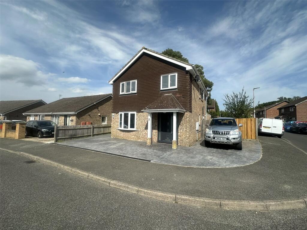
5 TAY CLOSE
CHATHAM, MEDWAY, ME5 8JJ
£410,000
Location
Nearby
Nearest stations, universities and amenities (distance from property).
| Type | Name | Distance |
|---|---|---|
| Bus stop | Kingston Crescent | 0.1 miles |
| Shop | Morrisons | 0.4 miles |
| Train station | Chatham | 2.3 miles |
| University | UCA Maidstone Studios | 4.8 miles |
| Hospital | The Somerfield Hospital | 5.2 miles |
Property details
Tenure
Freehold
Property type
Detached
Bedrooms
4
Bathrooms
1
Floor area
105 m²
EPC rating
C
Year built
England and Wales: 1983-1990
Last sold
£410,000 Feb 2026
Price per m²
£3,905/m²
Local average
£460,161 (28 sales)
Street crime
155 incidents within 1 mile (Apr 2026)
EPC Rating & Upgrade Cost
Current rating: C
Potential rating: B
Inspection date: 30/06/2025
Expiry date: 29/06/2035
Current heating cost: £641/year
Potential heating cost: £583/year
Est. upgrade cost to C: £16,500
Recommendations
- Floor insulation (solid floor) (£5,000 - £10,000)
- Solar photovoltaic panels, 2.5 kWp (£8,000 - £10,000)
Price history
| Event | Date | Price | Type | % change | Today’s value (HPI) | Action |
|---|---|---|---|---|---|---|
| Sold | 24/02/2026 | £410,000 | Detached | +64% | £409,583 to March 2026 | View transaction |
| Sold | 06/02/2014 | £250,000 | Detached | — | £463,679 to March 2026 | View transaction |
Historic listings
Listing and sale events only where we matched the listing page to a Land Registry sale already on record for this address.
| Event | Date | Price |
|---|---|---|
| sold | 01/01/2026 | £410,000 |
| listed | 04/07/2025 | £400,000 |
| sold | 01/01/2014 | £250,000 |
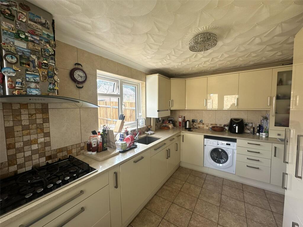
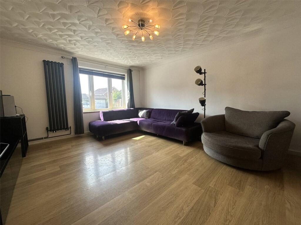
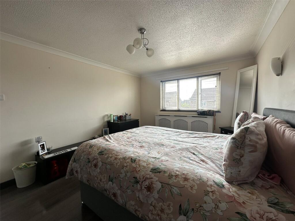
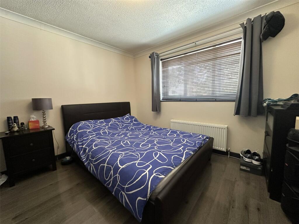
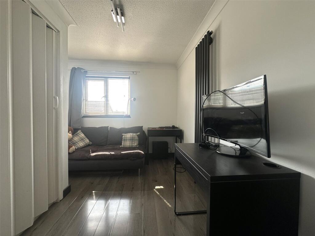
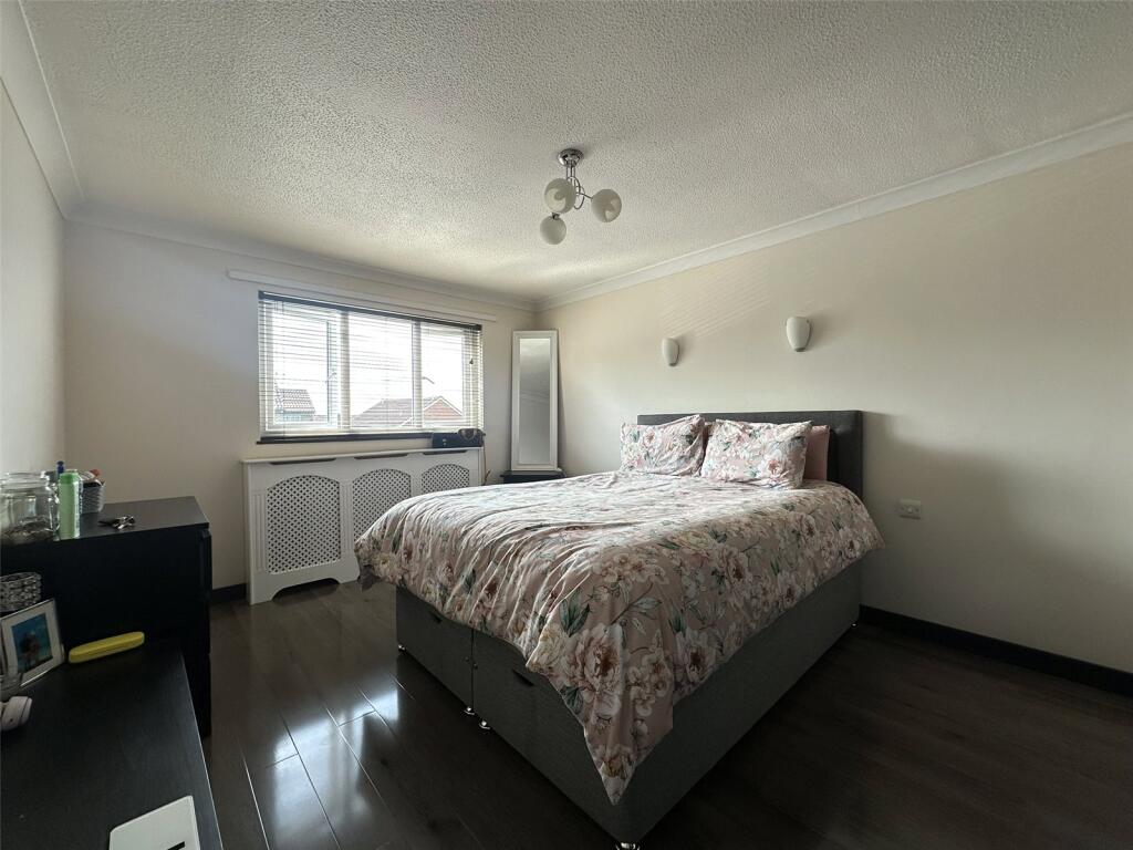
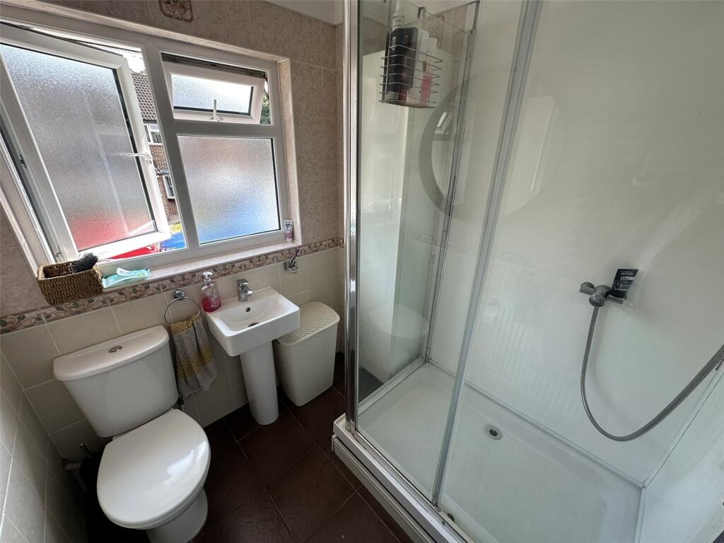
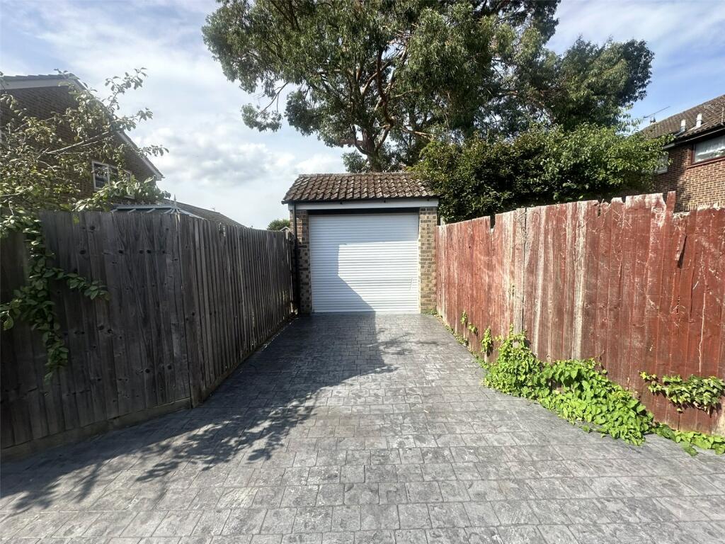
Photos · Open listing
 Open image 1 from listing 164165180
 Open image 2 from listing 164165180
 Open image 3 from listing 164165180
 Open image 4 from listing 164165180
 Open image 5 from listing 164165180
 Open image 6 from listing 164165180
 Open image 7 from listing 164165180
 Open image 8 from listing 164165180
 Open image 9 from listing 164165180
 Open image 10 from listing 164165180
 Open image 11 from listing 164165180
 Open image 12 from listing 164165180
Sold comparables
Same street and nearby sales within 0.25 miles (last 5 years). Land Registry Price Paid Data.
| Address | Price | Date | Type |
|---|---|---|---|
| 11 WOODCHURCH CLOSE, CHATHAM, MEDWAY, ME5 7LW | £345,000 | 08/01/2026 | Detached |
| 51 ROMNEY ROAD, CHATHAM, MEDWAY, ME5 7LU | £358,000 | 01/12/2023 | Detached |
| 16 FOWEY CLOSE, CHATHAM, MEDWAY, ME5 8JX | £515,000 | 13/10/2023 | Detached |
| 8 WOODCHURCH CLOSE, CHATHAM, MEDWAY, ME5 7LW | £335,000 | 29/09/2023 | Detached |
| 368A LORDS WOOD LANE, CHATHAM, MEDWAY, ME5 8JS | £360,000 | 26/05/2023 | Detached |
| 12 STAG ROAD, CHATHAM, MEDWAY, ME5 8LG | £355,000 | 17/04/2023 | Detached |
| 9 FOWEY CLOSE, CHATHAM, MEDWAY, ME5 8JX | £500,000 | 21/12/2022 | Detached |
| 9 WEY CLOSE, CHATHAM, MEDWAY, ME5 8JW | £492,000 | 27/09/2022 | Detached |
| 323 LORDS WOOD LANE, CHATHAM, MEDWAY, ME5 8JT | £520,000 | 24/06/2022 | Detached |
| 18 ALDINGTON CLOSE, CHATHAM, MEDWAY, ME5 7NF | £400,000 | 25/04/2022 | Detached |
| 41 ROMNEY ROAD, CHATHAM, MEDWAY, ME5 7LU | £346,000 | 14/03/2022 | Detached |
| 307 LORDS WOOD LANE, CHATHAM, MEDWAY, ME5 8JT | £400,000 | 14/01/2022 | Detached |
| 10 FOWEY CLOSE, CHATHAM, MEDWAY, ME5 8JX | £500,000 | 12/11/2021 | Detached |
| 15 WOODCHURCH CLOSE, CHATHAM, MEDWAY, ME5 7LW | £330,000 | 30/09/2021 | Detached |
| 7 STANLEY ROAD, CHATHAM, MEDWAY, ME5 8LN | £375,000 | 14/09/2021 | Detached |
| 8 WEY CLOSE, CHATHAM, MEDWAY, ME5 8JW | £507,000 | 09/09/2021 | Detached |
| 453 LORDS WOOD LANE, CHATHAM, MEDWAY, ME5 8EL | £360,000 | 09/08/2021 | Detached |
| 6 BOWMAN CLOSE, CHATHAM, MEDWAY, ME5 8LD | £470,000 | 30/07/2021 | Detached |
| 16 FOWEY CLOSE, CHATHAM, MEDWAY, ME5 8JX | £480,000 | 30/06/2021 | Detached |
Area average: £418,316 (19 sales)
For sale comparables
No active for-sale comparables found within 1 mile for the same bedrooms and property type.
Capital growth trend
Land Registry outcode average: last 12 months vs 5y and 10y ago (from sold prices).
House Price Index (HM Land Registry — official index, not sold-price averages): Medway. Series: Detached. As of March 2026.
Rental Range
Estimated market rent for Medway. Low = conservative, Realistic = average, Optimistic = best case.
Based on Local Authority from postcode lookup → Medway.
LHA (30th percentile) floor for Medway & Swale: Apr 2025 – Mar 2026
Rental Comparables
Loading rental comparables for this postcode. Refresh in a few minutes.
Rent-driven metrics
Based on Area rent estimate.
- Rent ratio — Monthly rent ÷ purchase price (1% rule). 1%+ = strong, 0.8–1% = okay, <0.8% = weak for cashflow.
- Max investor price — Rent ÷ 0.8%; the price at which rent would be 0.8% of price (Stoke-style target).
- Target investor price — Rent ÷ 1%; the price at which rent would be 1% of price (strong cashflow band).
- Gross yield — Annual rent as % of purchase price (no costs).
Flood risk
Zone: 1
Risk: Low
Not in Flood Risk Area (no data)
Street-level crime
| Category | Count |
|---|---|
| Violence and sexual offences | 59 |
| Anti-social behaviour | 49 |
| Criminal damage and arson | 8 |
| Other crime | 7 |
| Other theft | 6 |
| Public order | 6 |
| Shoplifting | 6 |
| Vehicle crime | 6 |
| Drugs | 4 |
| Burglary | 3 |
| Possession of weapons | 1 |
| Total incidents | 155 |
Within 1 mile during Apr 2026. Source: data.police.uk (England & Wales).
Schools nearby
Nearest open schools with Ofsted ratings (England). Closed schools are not shown. Data from Get Information about Schools and Ofsted.
| Name | Type | Distance | Ofsted |
|---|---|---|---|
| Maundene School | Primary | 0.3 miles | Good — 21 Sep 2022 |
| Bradfields Academy | Other | 0.6 miles | Outstanding — 26 Apr 2017 |
| INSPIRE Free Special School | Other | 0.6 miles | Good — 25 Jun 2018 |
| St Thomas More Roman Catholic Primary School | Primary | 0.6 miles | — (Inspected (no overall grade)) |
| Lordswood School | Primary | 0.6 miles | Good — 24 Feb 2019 |
FENSA
No FENSA certificates found for this address.