41 TEAL WAY
WISTASTON, CREWE, CHESHIRE EAST, CW2 8WG
£108,000
Location
Nearby
Nearest stations, universities and amenities (distance from property).
| Type | Name | Distance |
|---|---|---|
| Bus stop | Wistaston, Park Drive / Church Lane | 0.2 miles |
| Shop | Klara's | 0.3 miles |
| Train station | Crewe | 1.8 miles |
| University | University of Buckingham Crewe Campus | 2.3 miles |
| Hospital | Leighton Hospital | 2.4 miles |
Property details
Tenure
Leasehold
Property type
Terraced
Bedrooms
3
Bathrooms
1
Floor area
84 m²
EPC rating
B
Last sold
£108,000 Feb 2026
Price per m²
£1,286/m²
Local average
£123,503 (67 sales)
Street crime
92 incidents within 1 mile (May 2026)
EPC Rating & Upgrade Cost
Current rating: B
Potential rating: A
Inspection date: 05/08/2022
Expiry date: 04/08/2032
Current heating cost: £212/year
Potential heating cost: £212/year
Est. upgrade cost to C: £9,500
Recommendations
- Solar water heating (£4,000 - £6,000)
- Solar photovoltaic panels, 2.5 kWp (£3,500 - £5,500)
Price history
| Event | Date | Price | Type | % change | Today’s value (HPI) | Action |
|---|---|---|---|---|---|---|
| Sold | 06/02/2026 | £108,000 | Terraced | — | £109,009 to April 2026 | View transaction |
Historic listings
Listing and sale events only where we matched the listing page to a Land Registry sale already on record for this address.
| Event | Date | Price |
|---|---|---|
| sold | 01/01/2026 | £108,000 |
| listed | 01/08/2025 | £110,000 |
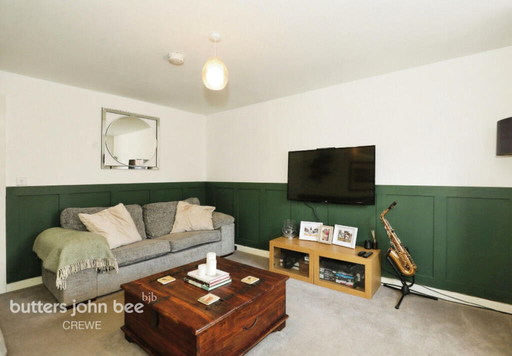
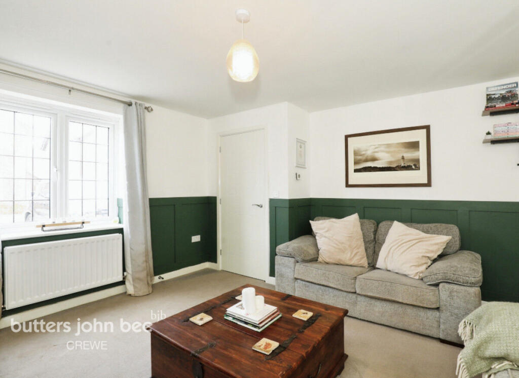
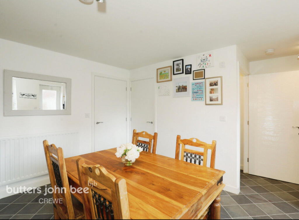
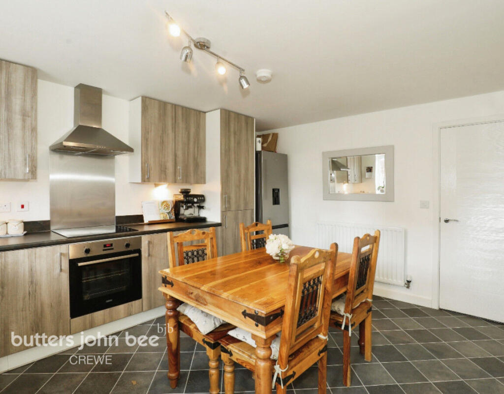
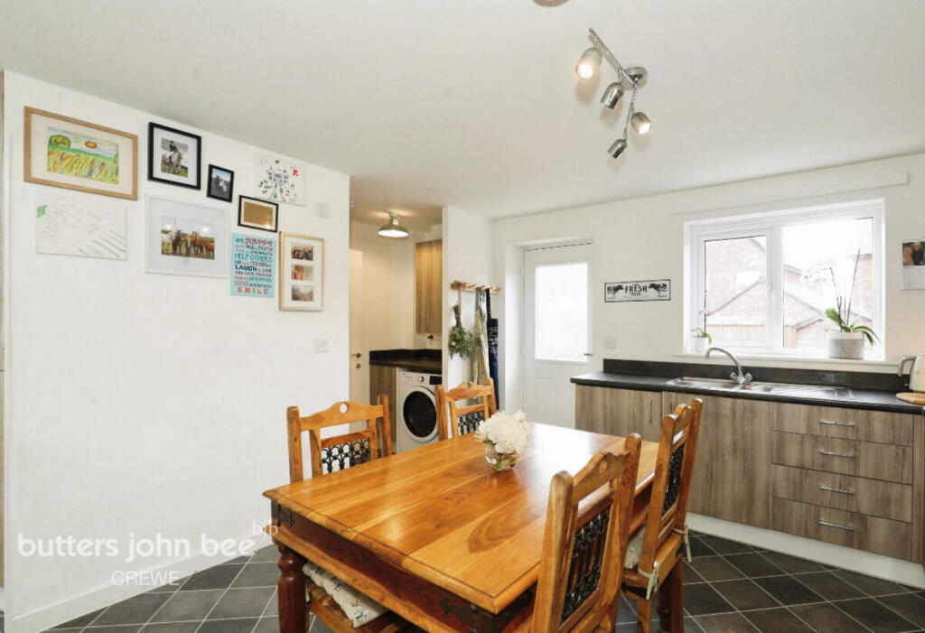
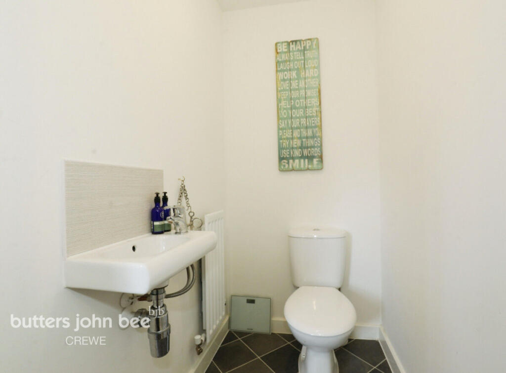
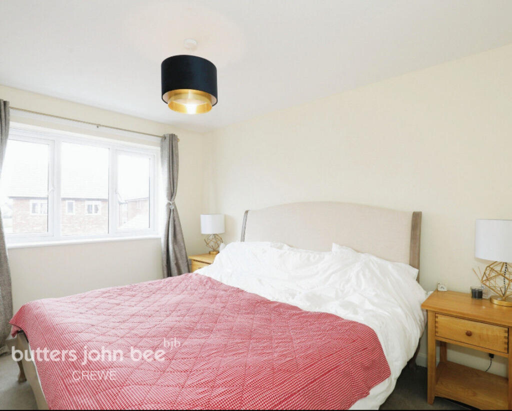
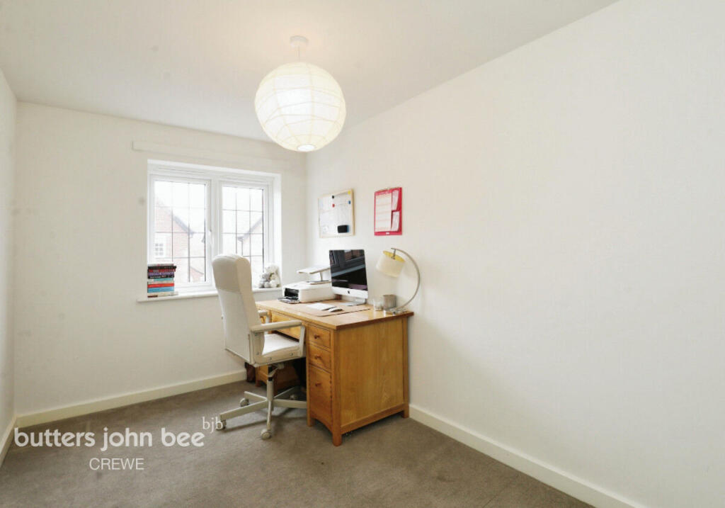
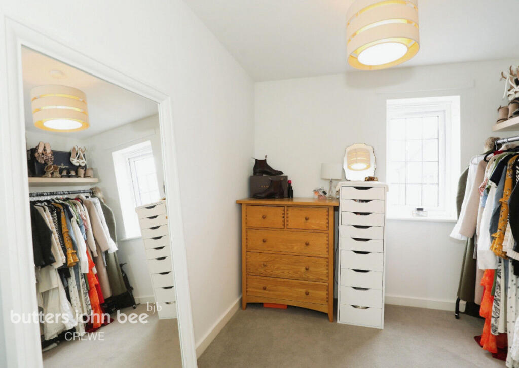
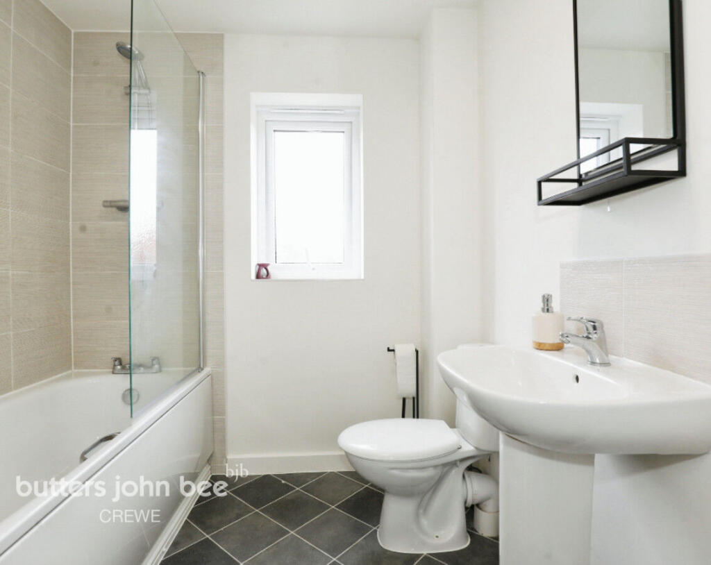
Photos · Open listing
 Open image 1 from listing 165234266
 Open image 2 from listing 165234266
 Open image 3 from listing 165234266
 Open image 4 from listing 165234266
 Open image 5 from listing 165234266
 Open image 6 from listing 165234266
 Open image 7 from listing 165234266
 Open image 8 from listing 165234266
 Open image 9 from listing 165234266
 Open image 10 from listing 165234266
 Open image 11 from listing 165234266
 Open image 12 from listing 165234266
Sold comparables
Same street and nearby sales within 0.25 miles (last 5 years). Land Registry Price Paid Data.
| Address | Price | Date | Type |
|---|---|---|---|
| 6 WESTFIELD DRIVE, WISTASTON, CREWE, CHESHIRE EAST, CW2 8ES | £215,000 | 18/07/2022 | Terraced |
Area average: £215,000 (1 sale)
For sale comparables
Active for-sale listings within 1 mile, matched to the same property type and bedroom count.
| Address | Price | Beds | Type | Distance |
|---|---|---|---|---|
| Cubitt Close, Willaston, Nantwich, Cheshire, CW5 | £235,000 | 3 | End of terrace | 0.92 mi |
| Meadow View, Willaston, Nantwich, Cheshire, CW5 | £220,000 | 3 | Terraced | 0.92 mi |
Capital growth trend
Land Registry outcode average: last 12 months vs 5y and 10y ago (from sold prices).
House Price Index (HM Land Registry — official index, not sold-price averages): Cheshire East. Series: Terraced. As of April 2026.
Rental Range
Estimated market rent for Cheshire East. Low = conservative, Realistic = average, Optimistic = best case.
Based on Local Authority from postcode lookup → Cheshire East.
LHA (30th percentile) floor for South Cheshire: Apr 2025 – Mar 2026
Rental Comparables
Residential lets from OpenRent and Rightmove for the area (same bedroom count). Use to validate rent estimates. Student lets are excluded.
| Title | Rent | Beds | Distance | As seen on |
|---|---|---|---|---|
| 3 Bed Semi-Detached House, Gainsborough Road, CW2 | £1,150/mo | 3 | 0.91 miles | OpenRent |
Average rent: £1,150/mo (1 listing)
Rent-driven metrics
Based on OpenRent comparables.
- Rent ratio — Monthly rent ÷ purchase price (1% rule). 1%+ = strong, 0.8–1% = okay, <0.8% = weak for cashflow.
- Max investor price — Rent ÷ 0.8%; the price at which rent would be 0.8% of price (Stoke-style target).
- Target investor price — Rent ÷ 1%; the price at which rent would be 1% of price (strong cashflow band).
- Gross yield — Annual rent as % of purchase price (no costs).
- Cost-to-rent — Price ÷ annual rent (from OpenRent comparables). Under 14× = strong, 14–16× = acceptable, 17×+ = compressed.
- Cashflow — Rent minus mortgage, 10% maintenance, £25/mo compliance. Assumes 75% LTV, 3.95% APR (5yr fixed), 25yr term.
- ROI — Annual profit ÷ cash in (deposit + 4% purchase costs).
Flood risk
Zone: 1
Risk: Low
Not in Flood Risk Area (no data)
Street-level crime
| Category | Count |
|---|---|
| Violence and sexual offences | 46 |
| Public order | 15 |
| Anti-social behaviour | 8 |
| Shoplifting | 7 |
| Other theft | 6 |
| Criminal damage and arson | 4 |
| Drugs | 3 |
| Vehicle crime | 2 |
| Burglary | 1 |
| Total incidents | 92 |
Within 1 mile during May 2026. Source: data.police.uk (England & Wales).
Schools nearby
Nearest open schools with Ofsted ratings (England). Closed schools are not shown. Data from Get Information about Schools and Ofsted.
| Name | Type | Distance | Ofsted |
|---|---|---|---|
| Wistaston Church Lane Academy | Primary | 0.3 miles | Good — 14 May 2019 |
| Wistaston Academy | Primary | 0.6 miles | Outstanding — 24 Sep 2024 |
| St Mary's Catholic Primary School, Crewe | Primary | 0.6 miles | Good — 13 Sep 2023 |
| St Thomas More Catholic High School | Secondary | 0.6 miles | — (Inspected (no overall grade)) |
| Vine Tree Primary School | Primary | 0.7 miles | Good — 12 Dec 2012 |
FENSA
Checking FENSA certificates for this address. Refresh in a few minutes.