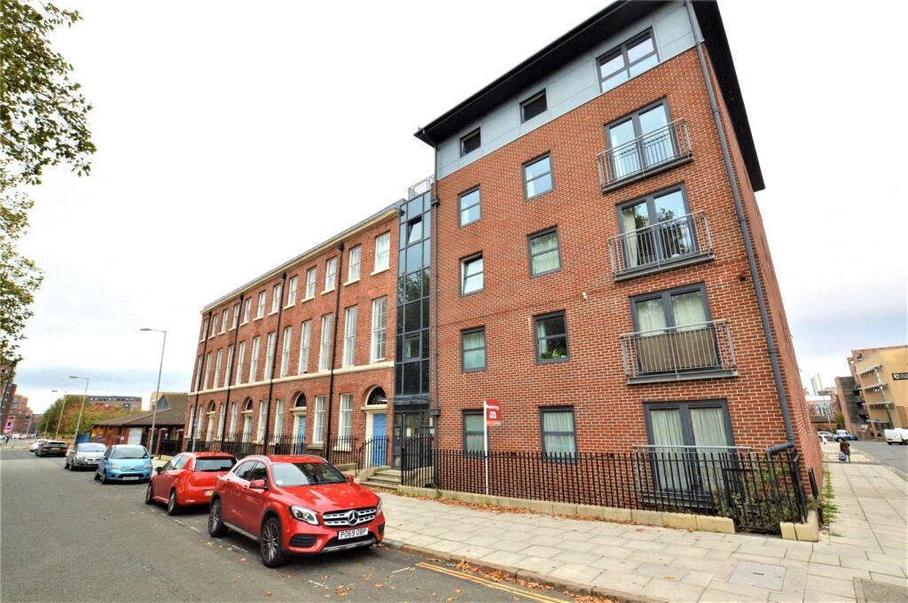
48A APARTMENT 24 NELSON STREET
LIVERPOOL, MERSEYSIDE, L1 5DN
£140,000
Location
Nearby
Nearest stations, universities and amenities (distance from property).
| Type | Name | Distance |
|---|---|---|
| Shop | L1 Mini Market | 0.1 miles |
| Bus stop | Great George Street / Upper Duke Street | 0.1 miles |
| University | Liverpool Institute for Performing Arts | 0.3 miles |
| Train station | Liverpool Central | 0.4 miles |
| Hospital | Greenbank Drive Surgery | 2.1 miles |
Property details
Tenure
Leasehold
Property type
Flat
Bedrooms
2
Bathrooms
1
Last sold
£140,000 Jan 2026
Local average
£149,201 (130 sales)
Street crime
1678 incidents within 1 mile (May 2026)
EPC Rating & Upgrade Cost
Fetching EPC data… Refresh this page in a moment.
Price history
| Event | Date | Price | Type | % change | Today’s value (HPI) | Action |
|---|---|---|---|---|---|---|
| Sold | 28/01/2026 | £140,000 | Flat | +164.2% | £141,582 to April 2026 | View transaction |
| Sold | 27/03/2017 | £53,000 | Flat | +11.6% | £75,694 to April 2026 | View transaction |
| Sold | 25/11/2011 | £47,500 | Flat | — | £72,671 to April 2026 | View transaction |
Historic listings
Listing and sale events only where we matched the listing page to a Land Registry sale already on record for this address.
| Event | Date | Price |
|---|---|---|
| sold | 01/01/2026 | £140,000 |
| listed | 18/07/2025 | £140,000 |
| sold | 01/01/2017 | £53,000 |
| sold | 01/01/2011 | £47,500 |
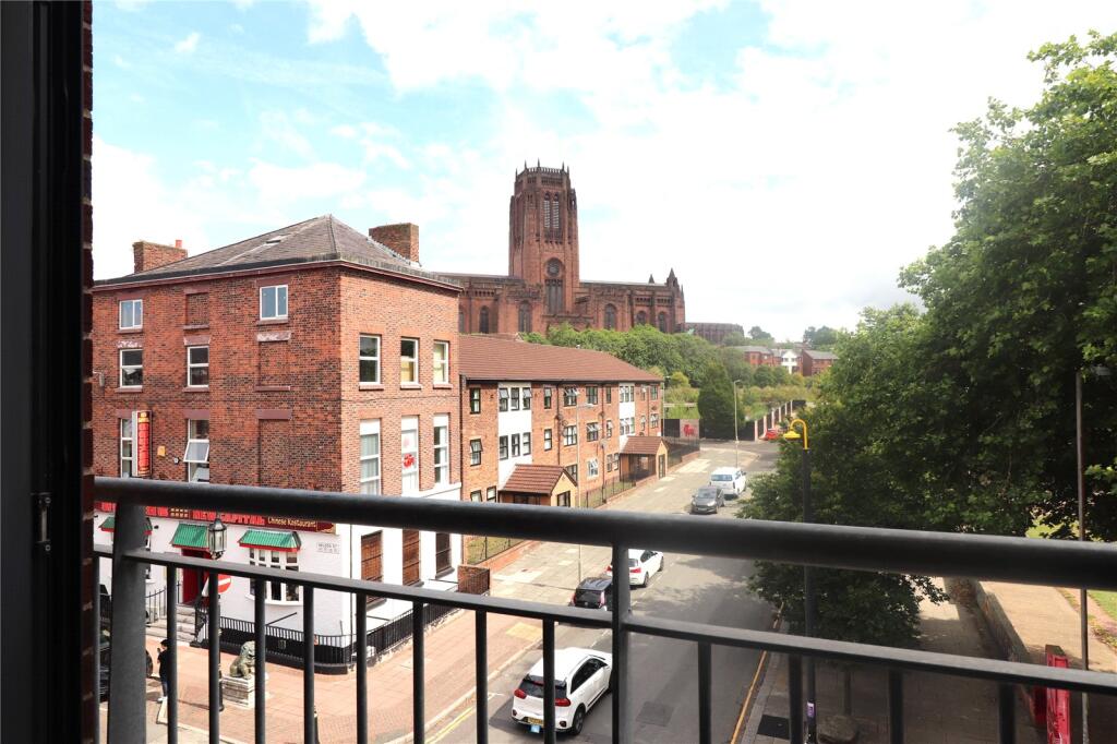
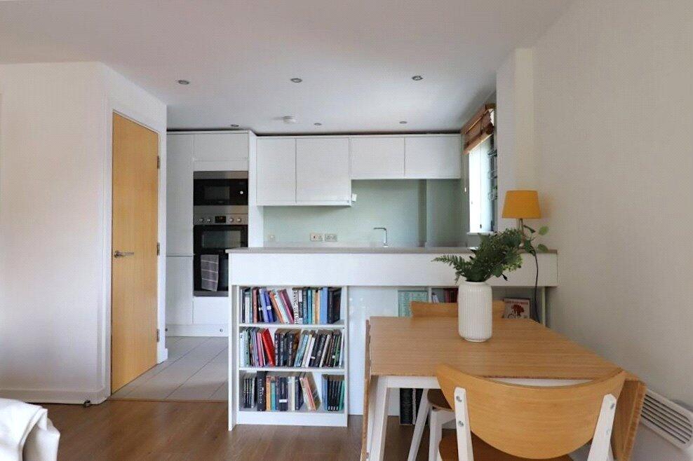
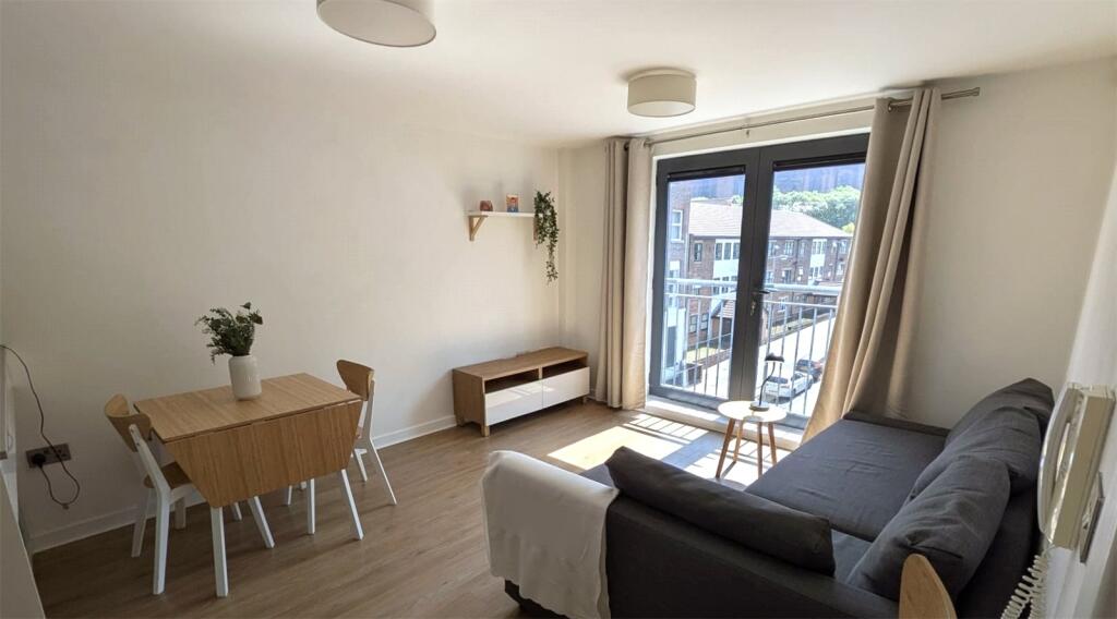
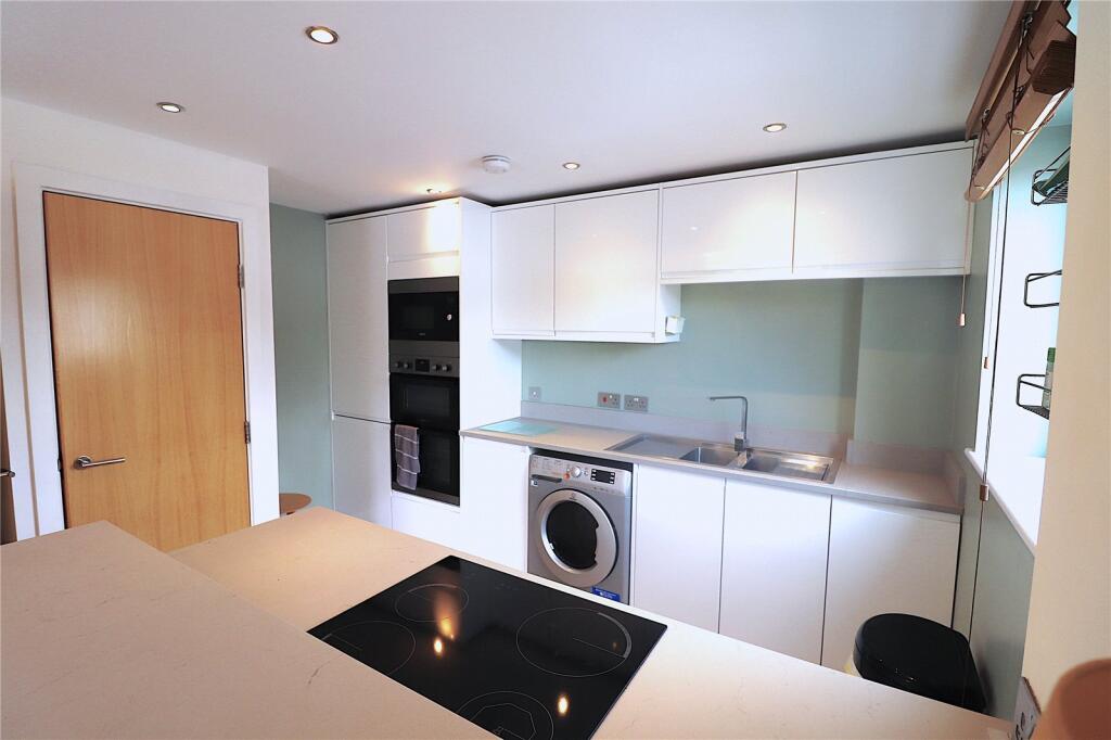
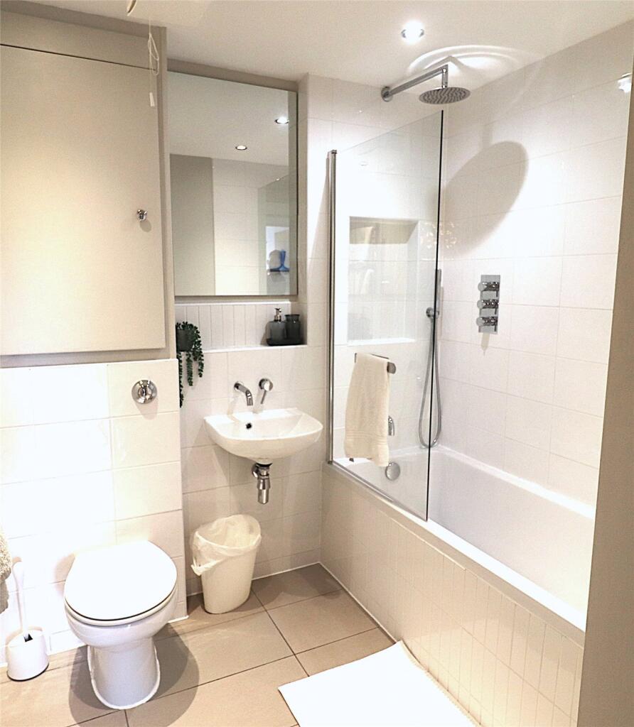
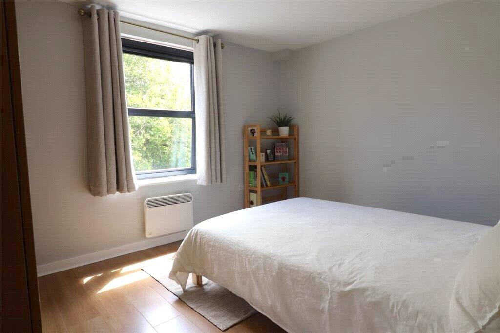
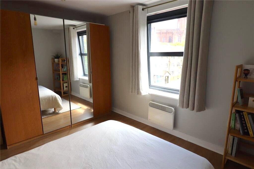
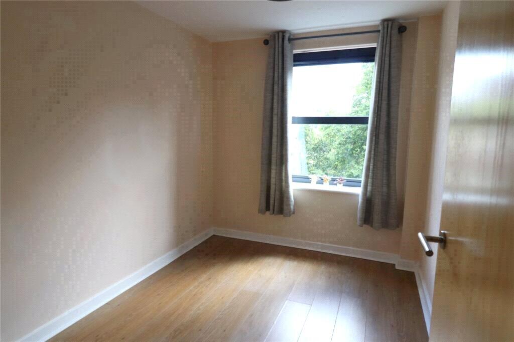
Photos · Open listing
 Open image 1 from listing 164672240
 Open image 2 from listing 164672240
 Open image 3 from listing 164672240
 Open image 4 from listing 164672240
 Open image 5 from listing 164672240
 Open image 6 from listing 164672240
 Open image 7 from listing 164672240
 Open image 8 from listing 164672240
 Open image 9 from listing 164672240
 Open image 10 from listing 164672240
Sold comparables
Same street and nearby sales within 0.25 miles (last 5 years). Land Registry Price Paid Data.
| Address | Price | Date | Type |
|---|---|---|---|
| 136 APARTMENT 52 DUKE STREET, LIVERPOOL, MERSEYSIDE, L1 5BB | £172,500 | 30/01/2026 | Flat |
| STATEN COURT, 84 APARTMENT 14 TRADEWIND SQUARE, LIVERPOOL, MERSEYSIDE, L1 5BG | £115,000 | 09/01/2026 | Flat |
| 48A APARTMENT 20 NELSON STREET, LIVERPOOL, MERSEYSIDE, L1 5DN | £145,000 | 15/12/2025 | Flat |
| 9 APARTMENT 36 CORNWALLIS STREET, LIVERPOOL, MERSEYSIDE, L1 5EL | £255,000 | 17/11/2025 | Flat |
| 12 APARTMENT 18 MADISON SQUARE, LIVERPOOL, MERSEYSIDE, L1 5BF | £155,000 | 10/11/2025 | Flat |
| 136 APARTMENT 66 DUKE STREET, LIVERPOOL, MERSEYSIDE, L1 5BB | £172,000 | 31/10/2025 | Flat |
| STATEN COURT, 84 APARTMENT 4 TRADEWIND SQUARE, LIVERPOOL, MERSEYSIDE, L1 5BG | £135,000 | 13/12/2023 | Flat |
| 12 APARTMENT 45 MADISON SQUARE, LIVERPOOL, MERSEYSIDE, L1 5BF | £227,000 | 22/09/2023 | Flat |
| 136 APARTMENT 1 DUKE STREET, LIVERPOOL, MERSEYSIDE, L1 5BB | £100,000 | 25/08/2023 | Flat |
| 159 DUKE STREET, LIVERPOOL, MERSEYSIDE, L1 4JX | £95,000 | 12/07/2023 | Flat |
| 84 APARTMENT 16 TRADEWIND SQUARE, LIVERPOOL, MERSEYSIDE, L1 5BG | £180,000 | 26/06/2023 | Flat |
| 48A APARTMENT 31 NELSON STREET, LIVERPOOL, MERSEYSIDE, L1 5DN | £140,000 | 13/01/2023 | Flat |
| 136 APARTMENT 35 DUKE STREET, LIVERPOOL, MERSEYSIDE, L1 5BB | £180,000 | 21/12/2022 | Flat |
| 9 APARTMENT 6 CORNWALLIS STREET, LIVERPOOL, MERSEYSIDE, L1 5EL | £125,000 | 09/12/2022 | Flat |
| 136 APARTMENT 52 DUKE STREET, LIVERPOOL, MERSEYSIDE, L1 5BB | £180,000 | 01/12/2022 | Flat |
| 84 APARTMENT 22 TRADEWIND SQUARE, LIVERPOOL, MERSEYSIDE, L1 5BG | £180,000 | 21/11/2022 | Flat |
| 9 APARTMENT 4 CORNWALLIS STREET, LIVERPOOL, MERSEYSIDE, L1 5EL | £130,000 | 28/10/2022 | Flat |
| 48A APARTMENT 16 NELSON STREET, LIVERPOOL, MERSEYSIDE, L1 5DN | £125,000 | 30/09/2022 | Flat |
| 84 APARTMENT 28 TRADEWIND SQUARE, LIVERPOOL, MERSEYSIDE, L1 5BG | £215,000 | 22/08/2022 | Flat |
| 136 APARTMENT 53 DUKE STREET, LIVERPOOL, MERSEYSIDE, L1 5BB | £176,000 | 12/08/2022 | Flat |
Area average: £160,125 (20 sales)
For sale comparables
No active for-sale comparables found within 1 mile for the same bedrooms and property type.
Capital growth trend
Land Registry outcode average: last 12 months vs 5y and 10y ago (from sold prices).
House Price Index (HM Land Registry — official index, not sold-price averages): Liverpool. Series: Flats and maisonettes. As of April 2026.
Rental Range
Estimated market rent for Liverpool. Low = conservative, Realistic = average, Optimistic = best case.
Based on Local Authority from postcode lookup → Liverpool.
LHA (30th percentile) floor for Greater Liverpool: Apr 2025 – Mar 2026
Rental Comparables
Residential lets in the area (all bedroom counts shown — none matched the 2-bedroom count for this property). Student lets are excluded.
| Title | Rent | Beds | Distance | As seen on |
|---|---|---|---|---|
| Studio Flat, Lydia Ann St, L1 | £995/mo | 1 | 0.17 miles | OpenRent |
| 1 Bed Flat, Lydia Ann St, L1 | £1,045/mo | 1 | 0.17 miles | OpenRent |
| 1 Bed Flat, Greenland St, L1 | £900/mo | 1 | 0.27 miles | OpenRent |
Average rent: £980/mo (3 listings)
Rent-driven metrics
Based on OpenRent comparables.
- Rent ratio — Monthly rent ÷ purchase price (1% rule). 1%+ = strong, 0.8–1% = okay, <0.8% = weak for cashflow.
- Max investor price — Rent ÷ 0.8%; the price at which rent would be 0.8% of price (Stoke-style target).
- Target investor price — Rent ÷ 1%; the price at which rent would be 1% of price (strong cashflow band).
- Gross yield — Annual rent as % of purchase price (no costs).
- Cost-to-rent — Price ÷ annual rent (from OpenRent comparables). Under 14× = strong, 14–16× = acceptable, 17×+ = compressed.
- Cashflow — Rent minus mortgage, 10% maintenance, £25/mo compliance. Assumes 75% LTV, 3.95% APR (5yr fixed), 25yr term.
- ROI — Annual profit ÷ cash in (deposit + 4% purchase costs).
Flood risk
Zone: 1
Risk: Low
Not in Flood Risk Area (no data)
Street-level crime
| Category | Count |
|---|---|
| Violence and sexual offences | 486 |
| Drugs | 383 |
| Anti-social behaviour | 200 |
| Shoplifting | 180 |
| Public order | 108 |
| Other theft | 104 |
| Criminal damage and arson | 58 |
| Vehicle crime | 44 |
| Burglary | 33 |
| Bicycle theft | 22 |
| Robbery | 17 |
| Other crime | 15 |
| Possession of weapons | 15 |
| Theft from the person | 13 |
| Total incidents | 1678 |
Within 1 mile during May 2026. Source: data.police.uk (England & Wales).
Schools nearby
Nearest open schools with Ofsted ratings (England). Closed schools are not shown. Data from Get Information about Schools and Ofsted.
| Name | Type | Distance | Ofsted |
|---|---|---|---|
| Lipa School | Other | 0.1 miles | Requires improvement — 13 May 2024 |
| St Vincent de Paul Catholic Primary School | Primary | 0.2 miles | Good — 27 Jun 2024 |
| Liverpool Institute of Performing Arts | Other | 0.3 miles | — (No rating) |
| LIPA Sixth Form College | Other | 0.3 miles | — (No rating) |
| Liverpool Life Sciences UTC | Secondary | 0.3 miles | Good — 9 Mar 2016 |
FENSA
No FENSA certificates found for this address.