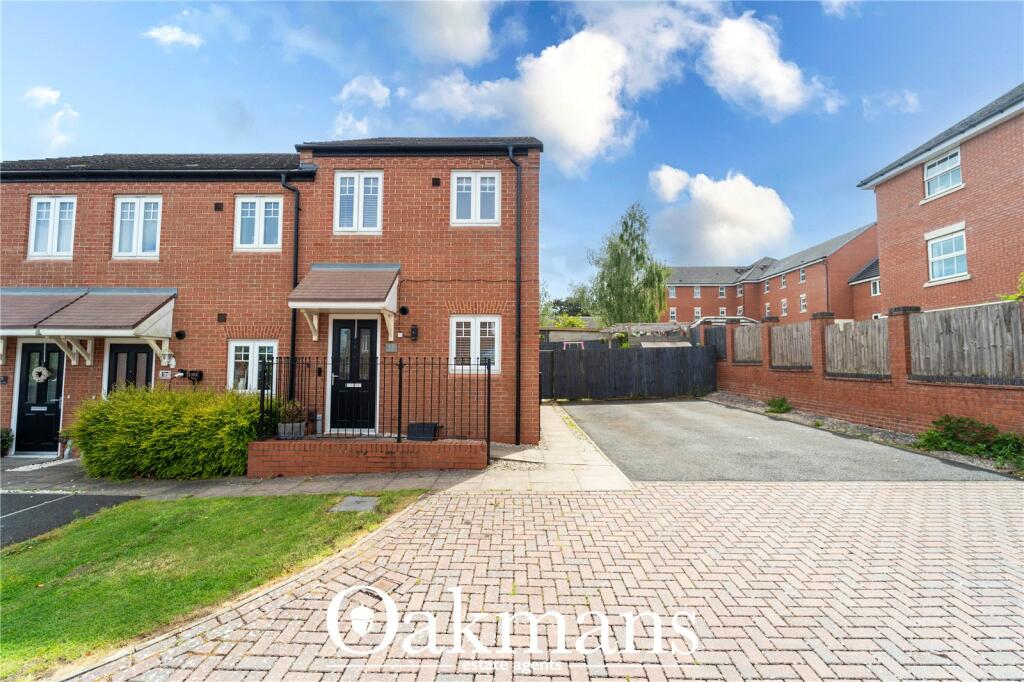
15 HONEYSUCKLE WAY
RUBERY, BIRMINGHAM, WEST MIDLANDS, B45 9AN
£175,000
Location
Nearby
Nearest stations, universities and amenities (distance from property).
| Type | Name | Distance |
|---|---|---|
| Bus stop | Rubery Lane / Ormond Rd | 0.1 miles |
| Shop | Ladbrokes | 0.2 miles |
| Train station | Longbridge | 1.3 miles |
| University | University of Birmingham School of Dentistry | 5.4 miles |
| Hospital | Alexandra Hospital | 9.3 miles |
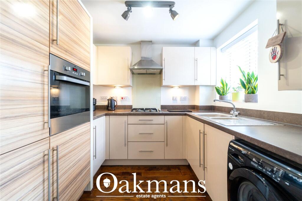
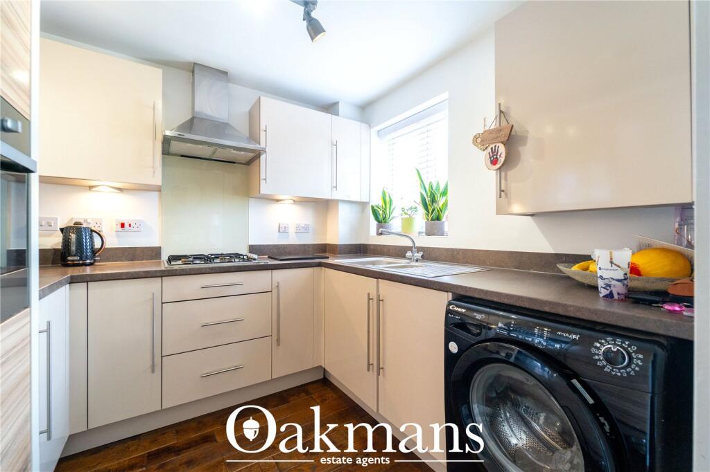
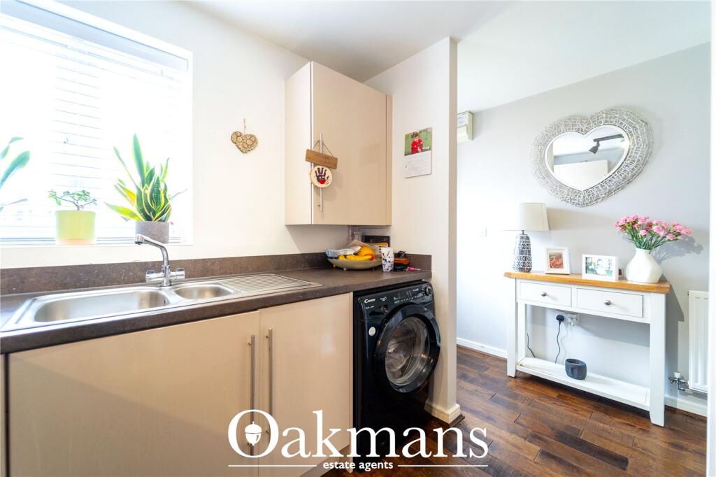
Property details
Tenure
Leasehold
Property type
Terraced
Bedrooms
2
Bathrooms
1
Floor area
56 m²
EPC rating
C
Year built
England and Wales: 2012 onwards
Last sold
£175,000 Jan 2026
Price per m²
£3,125/m²
Local average
£230,213 (28 sales)
Street crime
249 incidents within 1 mile (May 2026)
EPC Rating & Upgrade Cost
Current rating: C
Potential rating: B
Inspection date: 16/01/2026
Expiry date: 15/01/2036
Current heating cost: £419/year
Potential heating cost: £419/year
Est. upgrade cost to C: £9,000
Recommendations
- Solar photovoltaic panels, 2.5 kWp (£8,000 - £10,000)
Price history
| Event | Date | Price | Type | % change | Today’s value (HPI) | Action |
|---|---|---|---|---|---|---|
| Sold | 30/01/2026 | £175,000 | Terraced | +16.3% | £178,660 to April 2026 | View transaction |
| Sold | 28/10/2022 | £150,500 | Terraced | +53.6% | £154,263 to April 2026 | View transaction |
| Sold | 18/12/2015 | £97,997 | Terraced | — | £160,458 to April 2026 | View transaction |
Historic listings
Listing and sale events only where we matched the listing page to a Land Registry sale already on record for this address.
| Event | Date | Price |
|---|---|---|
| sold | 01/01/2026 | £175,000 |
| listed | 05/06/2025 | £175,000 |
| sold | 01/01/2022 | £150,500 |
| sold | 01/01/2015 | £97,997 |
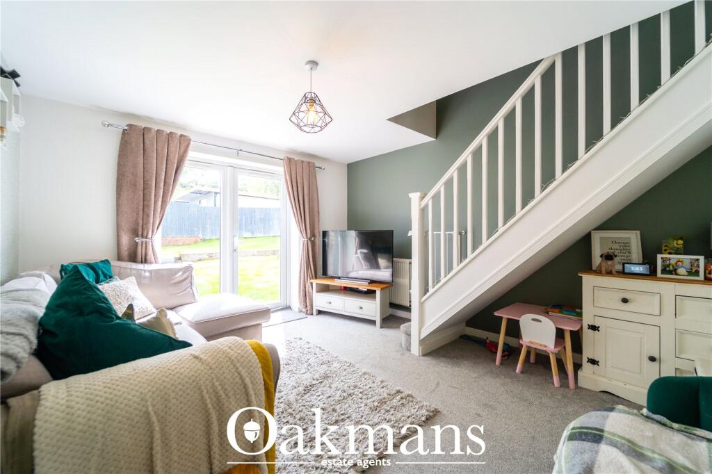
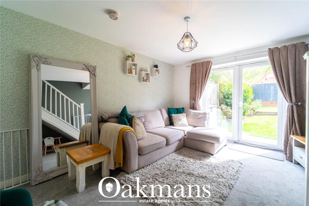
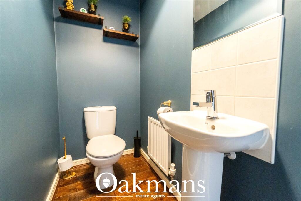
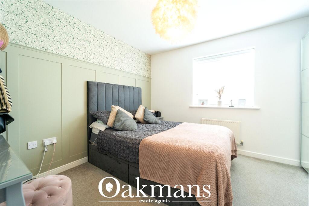
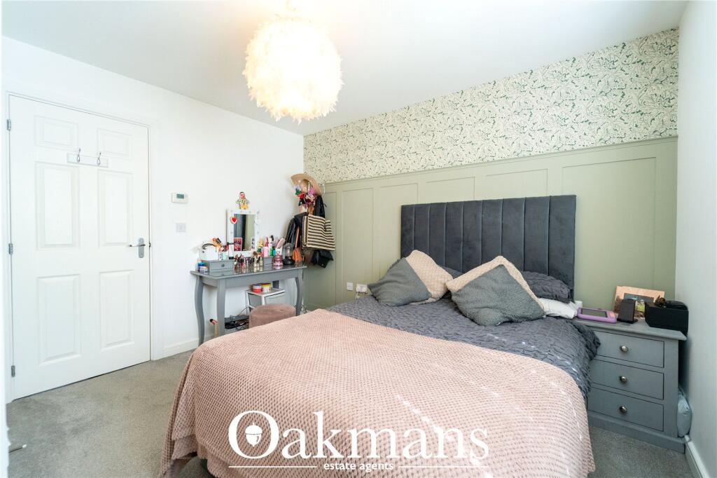
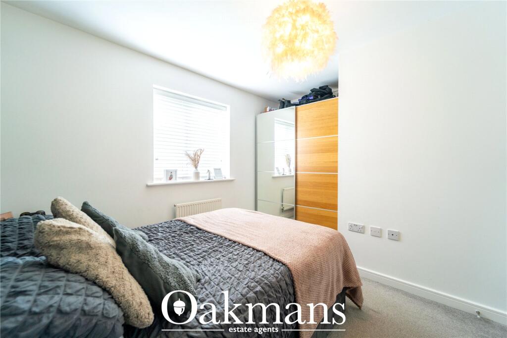
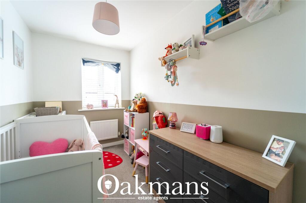
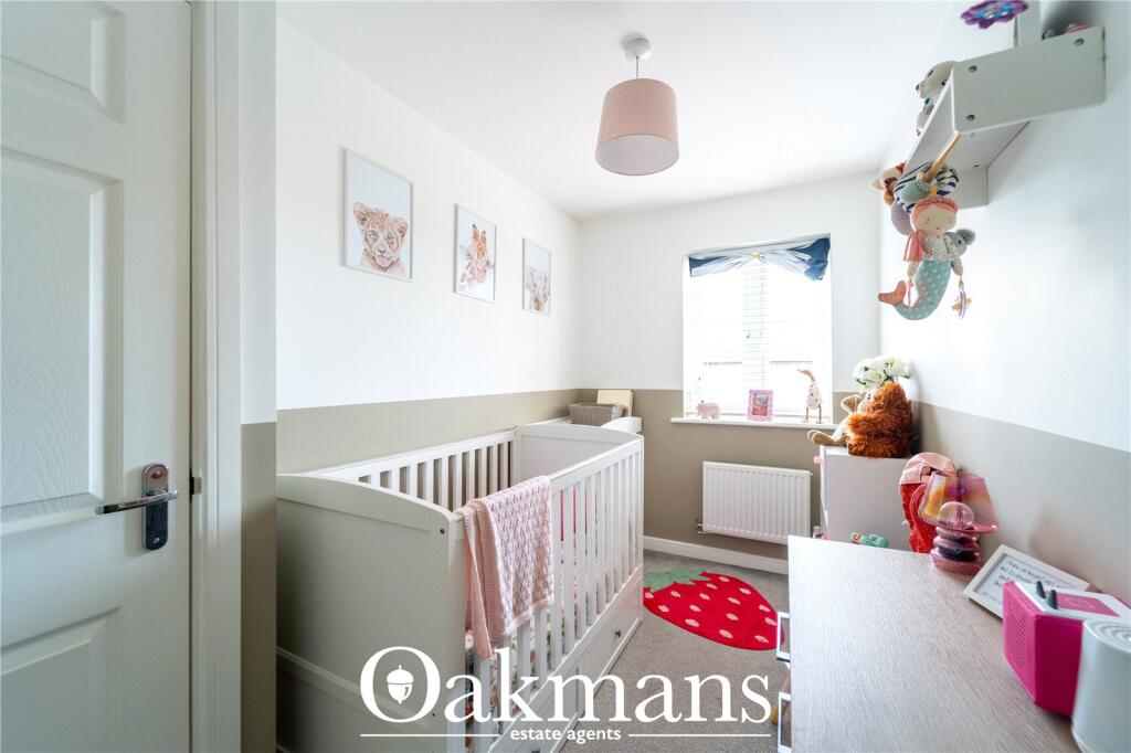
Photos · Open listing
 Open image 1 from listing 162891197
 Open image 2 from listing 162891197
 Open image 3 from listing 162891197
 Open image 4 from listing 162891197
 Open image 5 from listing 162891197
 Open image 6 from listing 162891197
 Open image 7 from listing 162891197
 Open image 8 from listing 162891197
 Open image 9 from listing 162891197
 Open image 10 from listing 162891197
 Open image 11 from listing 162891197
 Open image 12 from listing 162891197
Sold comparables
Same street and nearby sales within 0.25 miles (last 5 years). Land Registry Price Paid Data.
| Address | Price | Date | Type |
|---|---|---|---|
| 26 GANNOW MANOR GARDENS, RUBERY, BIRMINGHAM, WEST MIDLANDS, B45 9SD | £215,000 | 14/11/2025 | Terraced |
| 7 BROCK CLOSE, RUBERY, BIRMINGHAM, WEST MIDLANDS, B45 9AU | £305,000 | 27/10/2023 | Terraced |
| 18 MITTEN AVENUE, RUBERY, BIRMINGHAM, WEST MIDLANDS, B45 0JB | £162,000 | 03/08/2023 | Terraced |
| 93 WESTWOOD DRIVE, RUBERY, BIRMINGHAM, WEST MIDLANDS, B45 9WF | £170,000 | 02/06/2023 | Terraced |
| 21 BROCK CLOSE, RUBERY, BIRMINGHAM, WEST MIDLANDS, B45 9AU | £185,000 | 26/05/2023 | Terraced |
| 20 REASIDE DRIVE, REDNAL, BIRMINGHAM, WEST MIDLANDS, B45 9WL | £191,000 | 21/10/2022 | Terraced |
| 17 HONEYSUCKLE WAY, RUBERY, BIRMINGHAM, WEST MIDLANDS, B45 9AN | £140,000 | 31/08/2022 | Terraced |
| 48 REASIDE DRIVE, REDNAL, BIRMINGHAM, WEST MIDLANDS, B45 9WL | £180,000 | 31/08/2022 | Terraced |
| 37 RINGWOOD DRIVE, RUBERY, BIRMINGHAM, WEST MIDLANDS, B45 0BH | £80,000 | 21/12/2021 | Terraced |
| 9 BROCK CLOSE, RUBERY, BIRMINGHAM, WEST MIDLANDS, B45 9AU | £296,000 | 15/10/2021 | Terraced |
| 61 CHAPEL RISE, REDNAL, BIRMINGHAM, WEST MIDLANDS, B45 9SN | £95,000 | 19/08/2021 | Terraced |
| 14 MITTEN AVENUE, RUBERY, BIRMINGHAM, WEST MIDLANDS, B45 0JB | £165,000 | 09/08/2021 | Terraced |
Area average: £182,000 (12 sales)
For sale comparables
No active for-sale comparables found within 1 mile for the same bedrooms and property type.
Capital growth trend
Land Registry outcode average: last 12 months vs 5y and 10y ago (from sold prices).
House Price Index (HM Land Registry — official index, not sold-price averages): Birmingham. Series: Terraced. As of April 2026.
Rental Range
Estimated market rent for Birmingham. Low = conservative, Realistic = average, Optimistic = best case.
Based on Local Authority from postcode lookup → Birmingham.
LHA (30th percentile) floor for Birmingham: Apr 2025 – Mar 2026
Rental Comparables
Residential lets in the area (all bedroom counts shown — none matched the 2-bedroom count for this property). Student lets are excluded.
| Title | Rent | Beds | Distance | As seen on |
|---|---|---|---|---|
| 1 Bed Flat, Hafren Close, B45 | £695/mo | 1 | 0.47 miles | OpenRent |
Average rent: £695/mo (1 listing)
Rent-driven metrics
Based on OpenRent comparables.
- Rent ratio — Monthly rent ÷ purchase price (1% rule). 1%+ = strong, 0.8–1% = okay, <0.8% = weak for cashflow.
- Max investor price — Rent ÷ 0.8%; the price at which rent would be 0.8% of price (Stoke-style target).
- Target investor price — Rent ÷ 1%; the price at which rent would be 1% of price (strong cashflow band).
- Gross yield — Annual rent as % of purchase price (no costs).
- Cost-to-rent — Price ÷ annual rent (from OpenRent comparables). Under 14× = strong, 14–16× = acceptable, 17×+ = compressed.
- Cashflow — Rent minus mortgage, 10% maintenance, £25/mo compliance. Assumes 75% LTV, 3.95% APR (5yr fixed), 25yr term.
- ROI — Annual profit ÷ cash in (deposit + 4% purchase costs).
Flood risk
Zone: 2
Risk: In flood risk area
Environment Agency Flood Risk Areas (APSFR)
Street-level crime
| Category | Count |
|---|---|
| Violence and sexual offences | 113 |
| Vehicle crime | 23 |
| Shoplifting | 20 |
| Criminal damage and arson | 19 |
| Public order | 17 |
| Burglary | 16 |
| Anti-social behaviour | 10 |
| Other theft | 10 |
| Other crime | 5 |
| Possession of weapons | 5 |
| Drugs | 4 |
| Robbery | 4 |
| Bicycle theft | 2 |
| Theft from the person | 1 |
| Total incidents | 249 |
Within 1 mile during May 2026. Source: data.police.uk (England & Wales).
Schools nearby
Nearest open schools with Ofsted ratings (England). Closed schools are not shown. Data from Get Information about Schools and Ofsted.
| Name | Type | Distance | Ofsted |
|---|---|---|---|
| King Edward VI Balaam Wood Academy | Secondary | 0.3 miles | Good — 14 Mar 2024 |
| Holly Hill Methodist CofE Infant School | Primary | 0.4 miles | Good — 15 Jun 2017 |
| Rubery Nursery School | Nursery | 0.4 miles | Good — 6 Jan 2015 |
| Colmers School and Sixth Form College | Secondary | 0.5 miles | Requires improvement — 14 Jun 2023 |
| Colmers Farm Primary School | Primary | 0.5 miles | Good — 1 Aug 2023 |
FENSA
Checking FENSA certificates for this address. Refresh in a few minutes.