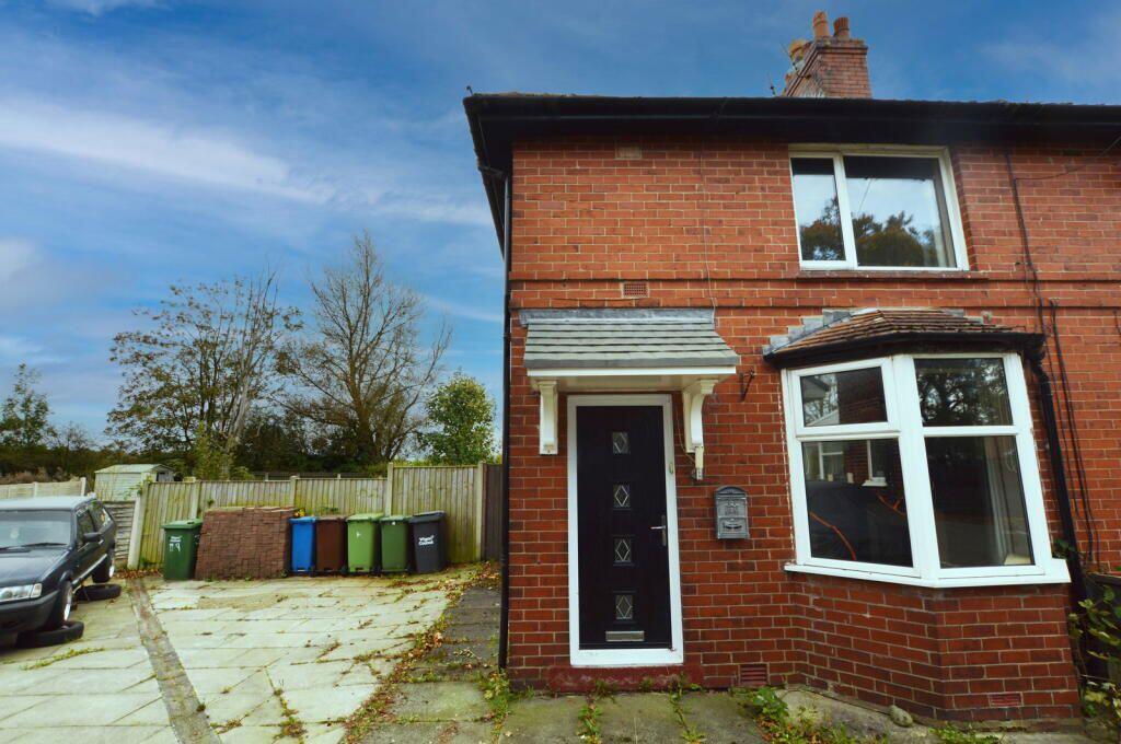
41 CEDAR AVENUE
LOWTON, WARRINGTON, WIGAN, GREATER MANCHESTER, WA3 2BN
£106,500
Location
Nearby
Nearest stations, universities and amenities (distance from property).
| Type | Name | Distance |
|---|---|---|
| Bus stop | Newton Road/Hesketh Meadow Lane | 0.1 miles |
| Shop | Oaklands | 0.2 miles |
| Train station | Newton-le-Willows | 2.5 miles |
| Hospital | Leigh Health Centre | 3.1 miles |
| University | University of Chester - Warrington Campus | 3.8 miles |
Property details
Tenure
Freehold
Property type
Terraced
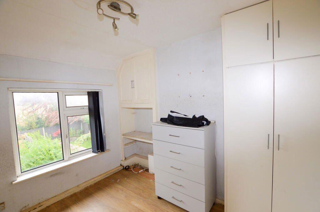
Bedrooms
2
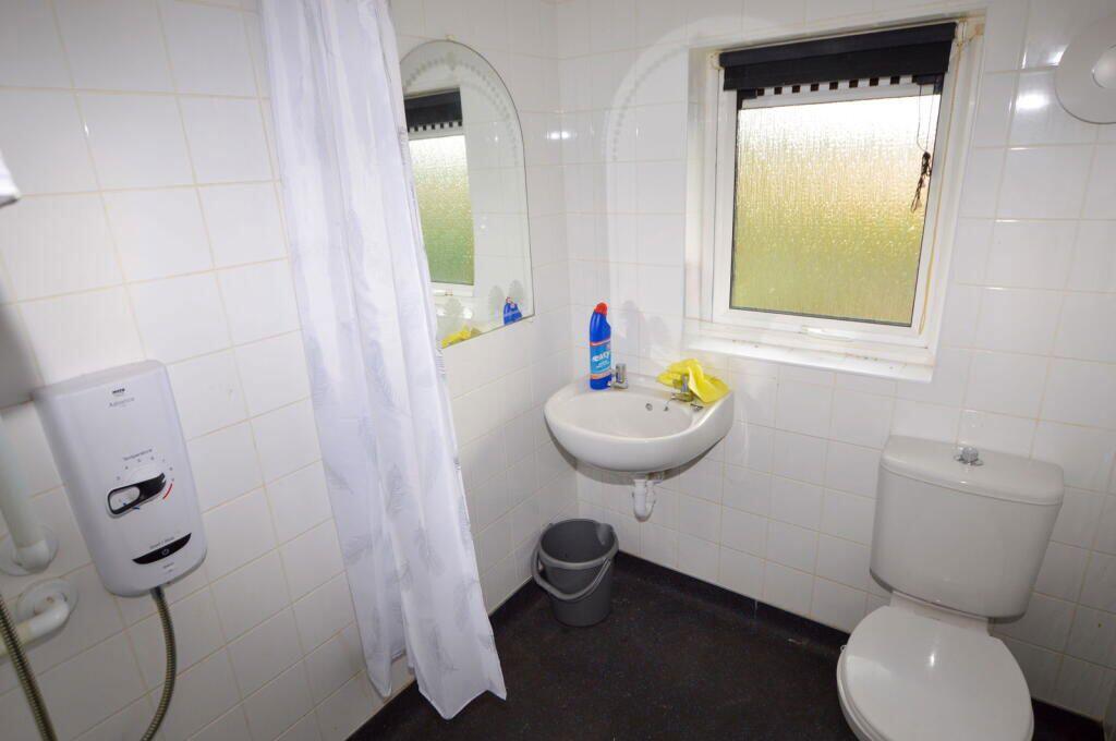
Bathrooms
1
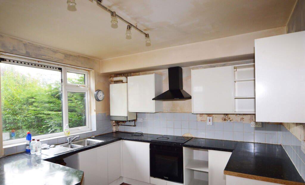
Floor area
68 m²
EPC rating
D
Year built
England and Wales: 1950-1966
Last sold
£106,500 Jan 2026
Price per m²
£1,566/m²
Local average
£174,438 (29 sales)
EPC Rating & Upgrade Cost
Current rating: D
Potential rating: C
Inspection date: 25/09/2025
Expiry date: 24/09/2035
Current heating cost: £838/year
Potential heating cost: £762/year
Est. upgrade cost to C: £16,500
Recommendations
- Floor insulation (suspended floor) (£5,000 - £10,000)
- Solar photovoltaic panels, 2.5 kWp (£8,000 - £10,000)
Price history
| Event | Date | Price | Type | % change | Today’s value (HPI) | Action |
|---|---|---|---|---|---|---|
| Sold | 30/01/2026 | £106,500 | Terraced | — | £107,509 to April 2026 | View transaction |
Historic listings
Listing and sale events only where we matched the listing page to a Land Registry sale already on record for this address.
| Event | Date | Price |
|---|---|---|
| sold | 01/01/2026 | £106,500 |
| listed | 19/11/2025 | £120,000 |
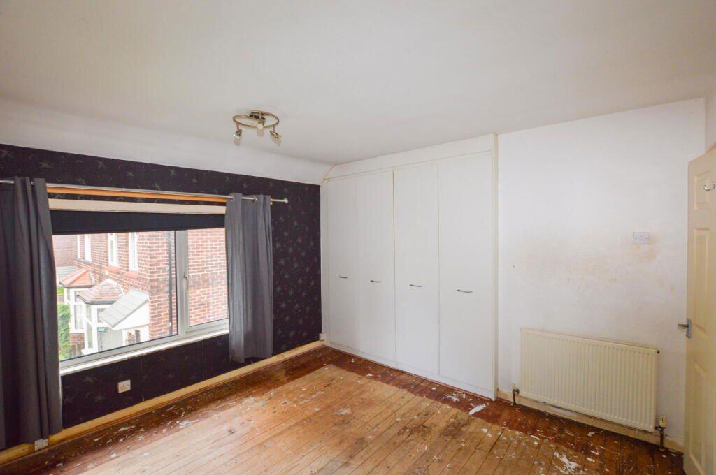
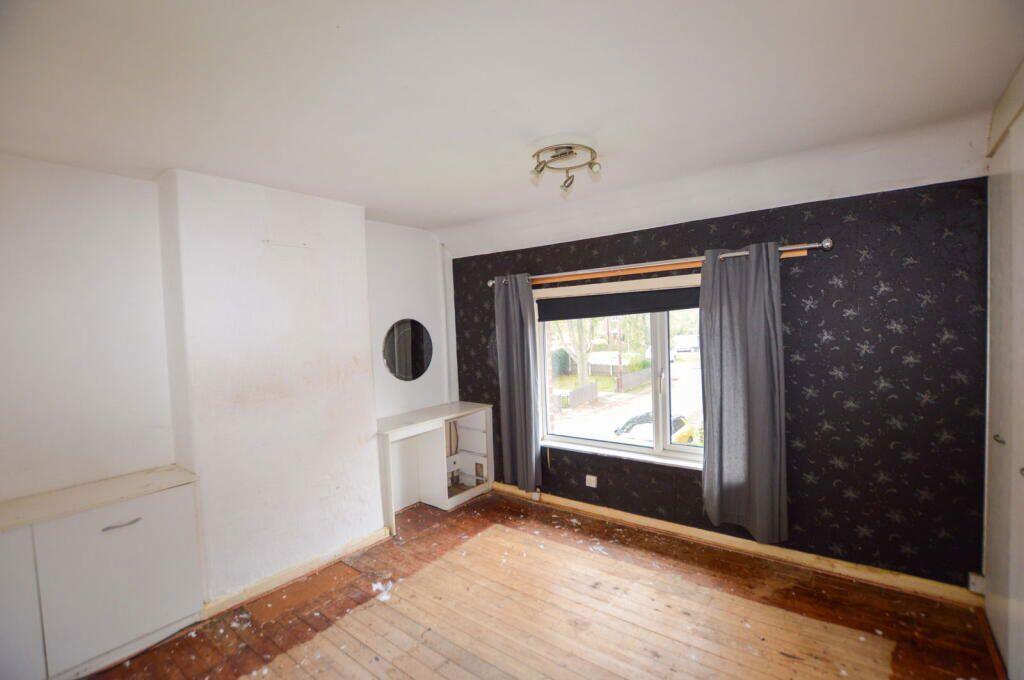
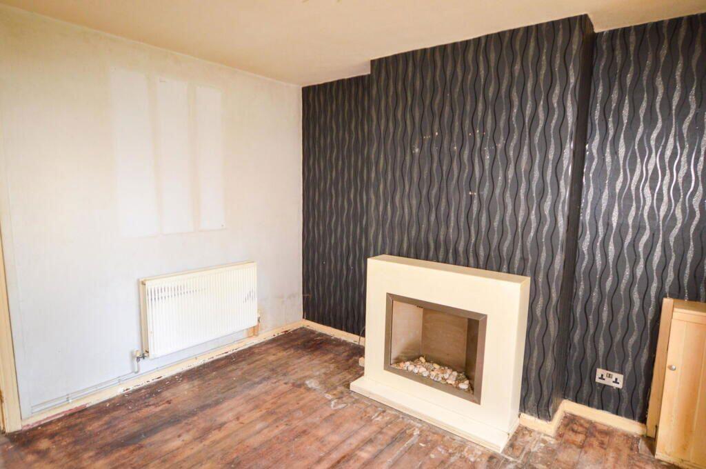
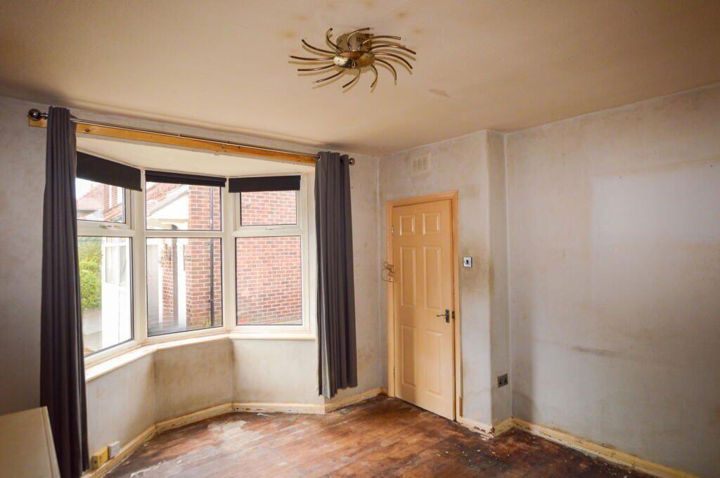
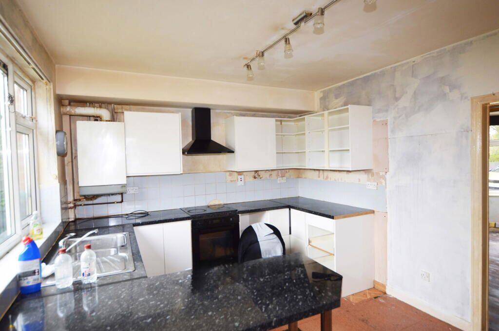
Photos · Open listing
 Open image 1 from listing 169476104
 Open image 2 from listing 169476104
 Open image 3 from listing 169476104
 Open image 4 from listing 169476104
 Open image 5 from listing 169476104
 Open image 6 from listing 169476104
 Open image 7 from listing 169476104
 Open image 8 from listing 169476104
 Open image 9 from listing 169476104
 Open image 10 from listing 169476104
 Open image 11 from listing 169476104
 Open image 12 from listing 169476104
Sold comparables
Same street and nearby sales within 0.25 miles (last 5 years). Land Registry Price Paid Data.
| Address | Price | Date | Type |
|---|---|---|---|
| 19 PLANEWOOD GARDENS, LOWTON, WARRINGTON, WIGAN, GREATER MANCHESTER, WA3 2BS | £225,000 | 17/11/2025 | Terraced |
| 5 KINGS AVENUE, LOWTON, WARRINGTON, WIGAN, GREATER MANCHESTER, WA3 2BJ | £177,000 | 02/07/2025 | Terraced |
| 16 BEECH AVENUE, LOWTON, WARRINGTON, WIGAN, GREATER MANCHESTER, WA3 2BZ | £188,000 | 28/11/2022 | Terraced |
| 2 BEECH AVENUE, LOWTON, WARRINGTON, WIGAN, GREATER MANCHESTER, WA3 2BZ | £215,000 | 05/04/2022 | Terraced |
| 27 ROWAN AVENUE, LOWTON, WARRINGTON, WIGAN, GREATER MANCHESTER, WA3 2DD | £190,000 | 04/11/2021 | Terraced |
Area average: £199,000 (5 sales)
For sale comparables
No active for-sale comparables found within 1 mile for the same bedrooms and property type.
Capital growth trend
Land Registry outcode average: last 12 months vs 5y and 10y ago (from sold prices).
House Price Index (HM Land Registry — official index, not sold-price averages): Wigan. Series: Terraced. As of April 2026.
Rental Range
Estimated market rent for Wigan. Low = conservative, Realistic = average, Optimistic = best case.
Based on Local Authority from postcode lookup → Wigan.
LHA (30th percentile) floor for East Lancs: Apr 2025 – Mar 2026
Rental Comparables
Residential lets from OpenRent and Rightmove for the area (same bedroom count). Use to validate rent estimates. Student lets are excluded.
| Title | Rent | Beds | Distance | As seen on |
|---|---|---|---|---|
| 2 Bed Terraced House, St Helens Road, WN7 | £875/mo | 2 | 0.88 miles | OpenRent |
Average rent: £875/mo (1 listing)
Rent-driven metrics
Based on OpenRent comparables.
- Rent ratio — Monthly rent ÷ purchase price (1% rule). 1%+ = strong, 0.8–1% = okay, <0.8% = weak for cashflow.
- Max investor price — Rent ÷ 0.8%; the price at which rent would be 0.8% of price (Stoke-style target).
- Target investor price — Rent ÷ 1%; the price at which rent would be 1% of price (strong cashflow band).
- Gross yield — Annual rent as % of purchase price (no costs).
- Cost-to-rent — Price ÷ annual rent (from OpenRent comparables). Under 14× = strong, 14–16× = acceptable, 17×+ = compressed.
- Cashflow — Rent minus mortgage, 10% maintenance, £25/mo compliance. Assumes 75% LTV, 3.95% APR (5yr fixed), 25yr term.
- ROI — Annual profit ÷ cash in (deposit + 4% purchase costs).
Flood risk
Zone: 1
Risk: Low
Not in Flood Risk Area (no data)
Street-level crime
| Category | Count |
|---|---|
| Total incidents | 0 |
Within 1 mile during May 2026. Source: data.police.uk (England & Wales).
Schools nearby
Nearest open schools with Ofsted ratings (England). Closed schools are not shown. Data from Get Information about Schools and Ofsted.
| Name | Type | Distance | Ofsted |
|---|---|---|---|
| Lowton Junior and Infant School | Primary | 0.1 miles | Requires improvement — 8 Mar 2023 |
| Green Meadow Independent Primary School | Other | 0.4 miles | Good — 23 Jun 2020 |
| Lowton St Mary's CofE (Voluntary Aided) Primary School | Primary | 0.5 miles | Good — 17 Dec 2014 |
| St Catherine's Catholic Primary School, Lowton | Primary | 0.5 miles | Good — 26 Feb 2014 |
| St Luke's CofE Primary School | Primary | 0.6 miles | Good — 14 Mar 2013 |
FENSA
Checking FENSA certificates for this address. Refresh in a few minutes.