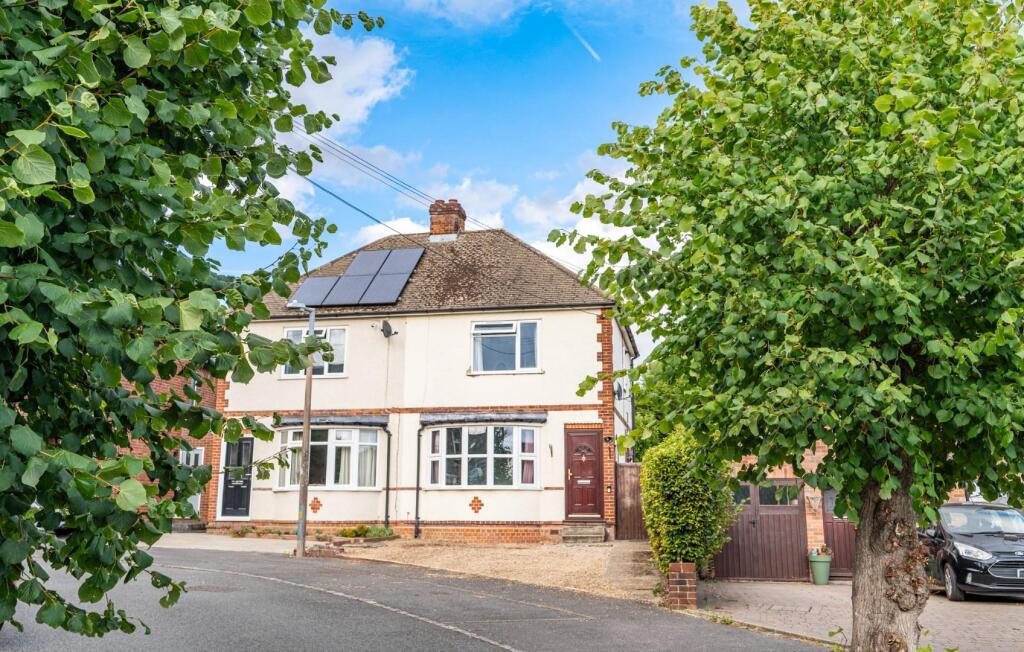
49 THE AVENUE
DUNMOW, UTTLESFORD, ESSEX, CM6 1BQ
£360,000
Location
Nearby
Nearest stations, universities and amenities (distance from property).
| Type | Name | Distance |
|---|---|---|
| Bus stop | The Avenue | 0.1 miles |
| Shop | One Stop | 0.1 miles |
| Train station | Stansted Airport | 4.7 miles |
| University | Writtle School of Design | 9.5 miles |
| Hospital | Jacob's Neuro Centre | 10.7 miles |
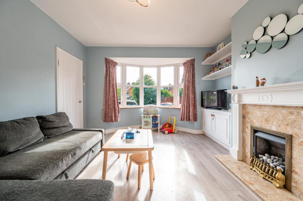
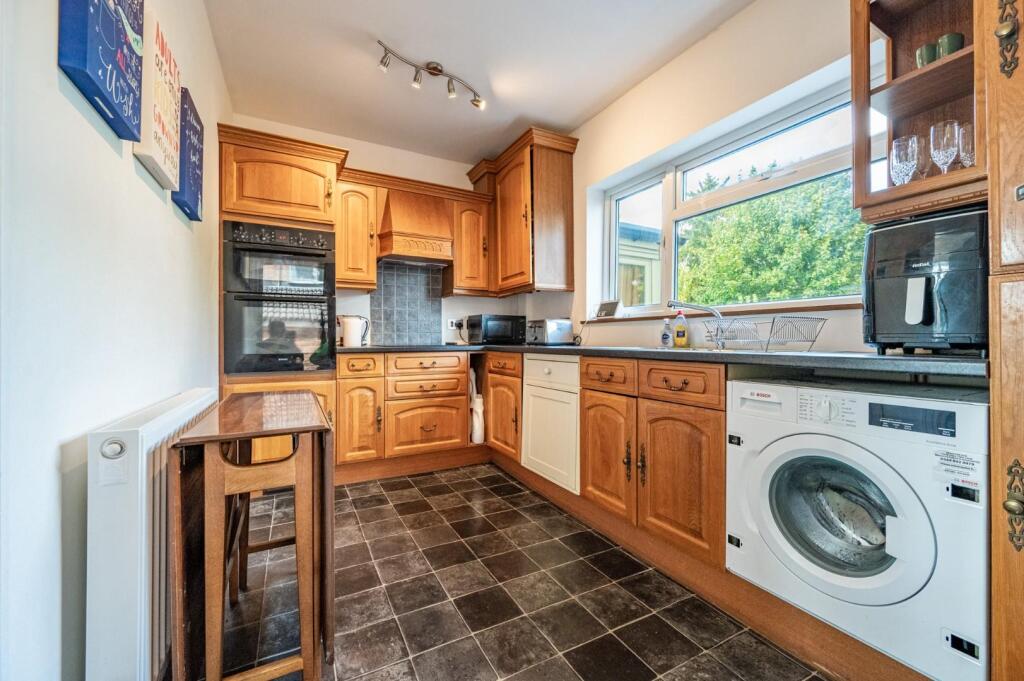
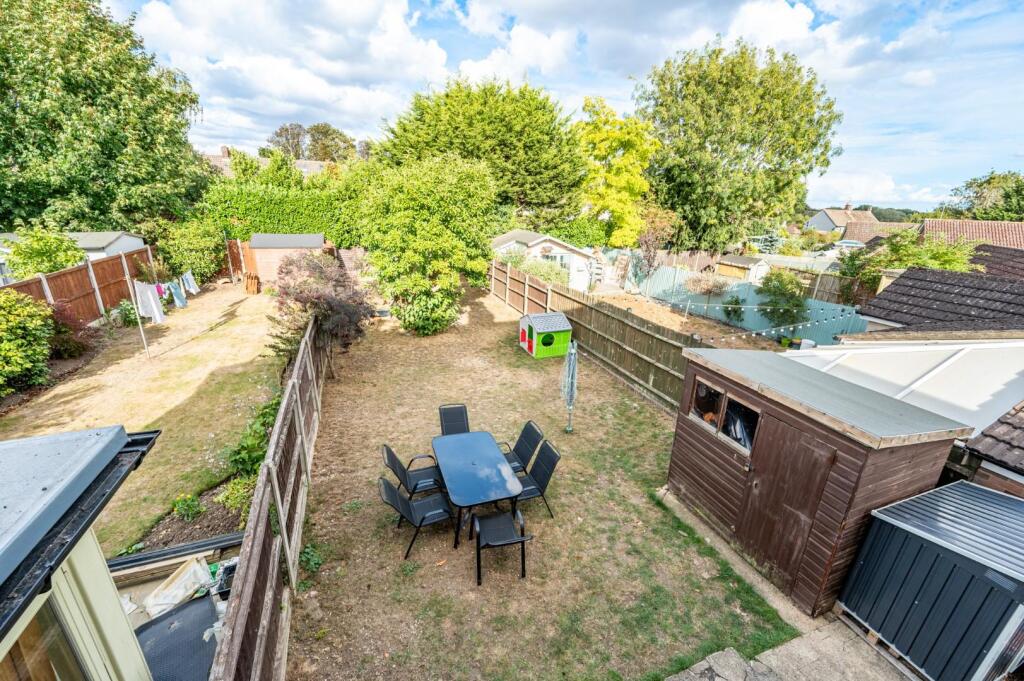
Property details
Tenure
Freehold
Property type
Semi-detached
Bedrooms
2
Bathrooms
1
Floor area
60 m²
EPC rating
E
Year built
England and Wales: 1900-1929
Last sold
£360,000 Jan 2026
Price per m²
£6,000/m²
Local average
£463,583 (24 sales)
Street crime
63 incidents within 1 mile (Apr 2026)
EPC Rating & Upgrade Cost
Current rating: E
Potential rating: C
Inspection date: 06/09/2025
Expiry date: 05/09/2035
Current heating cost: £1,215/year
Potential heating cost: £750/year
Est. upgrade cost to C: £25,750
Recommendations
- 50 mm internal or external wall insulation (£7,500 - £11,000)
- Floor insulation (suspended floor) (£5,000 - £10,000)
- Solar photovoltaic panels, 2.5 kWp (£8,000 - £10,000)
Price history
| Event | Date | Price | Type | % change | Today’s value (HPI) | Action |
|---|---|---|---|---|---|---|
| Sold | 26/01/2026 | £360,000 | Semi-detached | +9.1% | £346,299 to March 2026 | View transaction |
| Sold | 29/09/2021 | £330,000 | Semi-detached | — | £354,548 to March 2026 | View transaction |
Historic listings
Listing and sale events only where we matched the listing page to a Land Registry sale already on record for this address.
| Event | Date | Price |
|---|---|---|
| sold | 01/01/2026 | £360,000 |
| listed | 03/09/2025 | £350,000 |
| sold | 01/01/2021 | £330,000 |
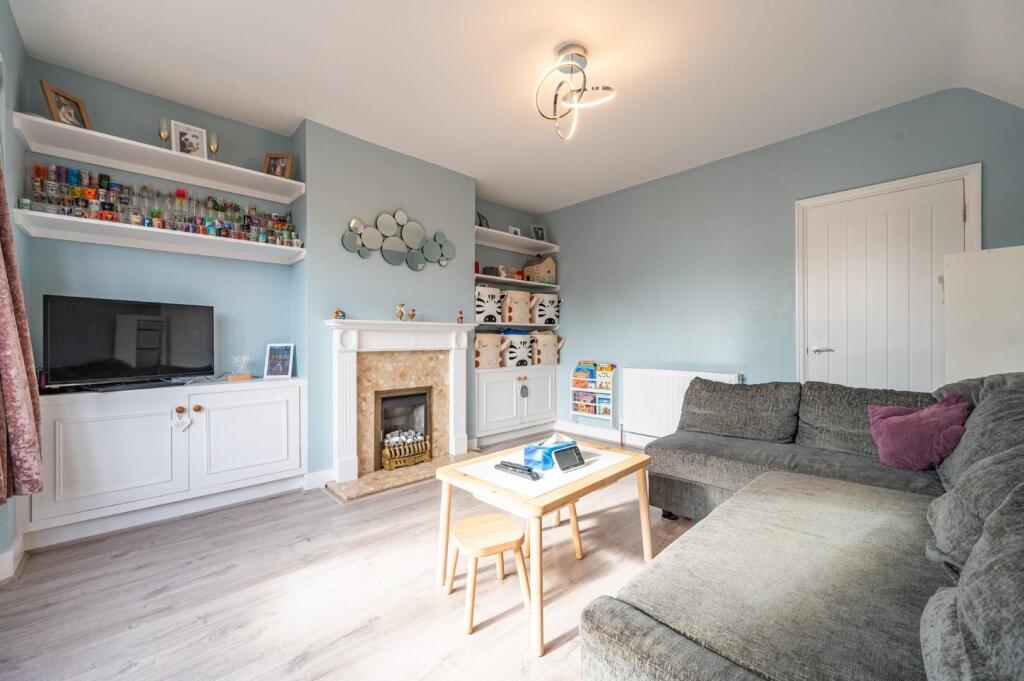
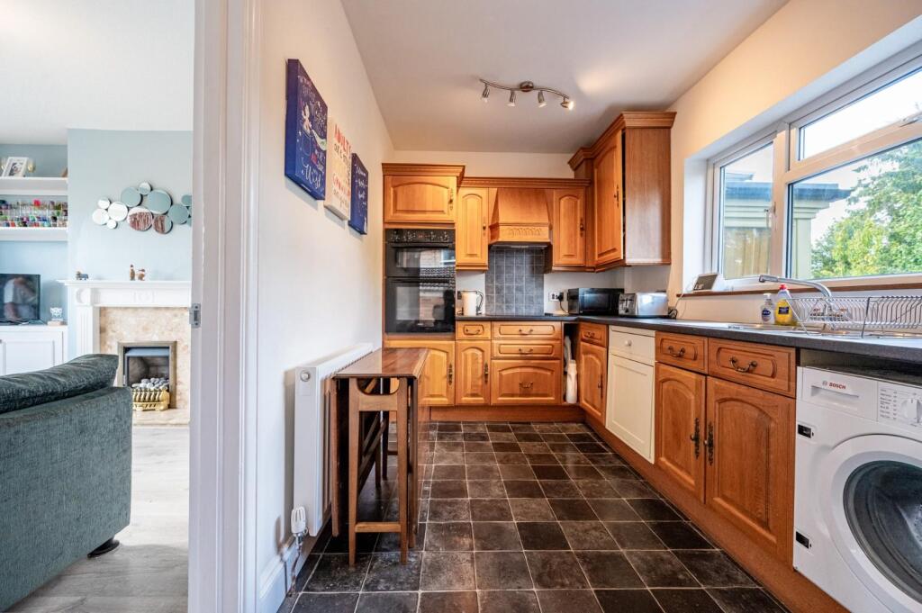
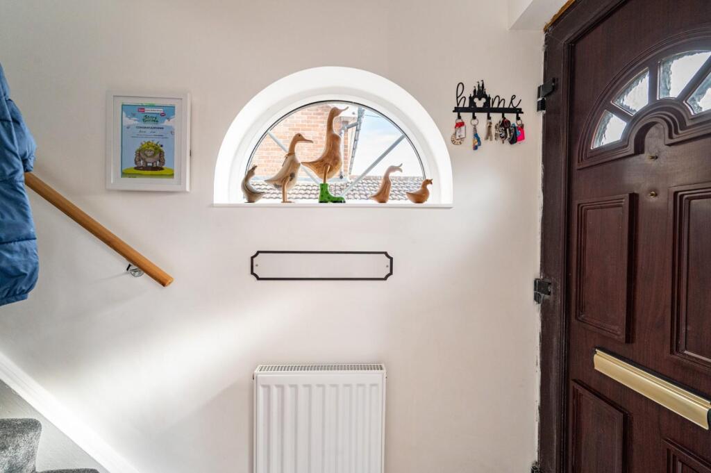
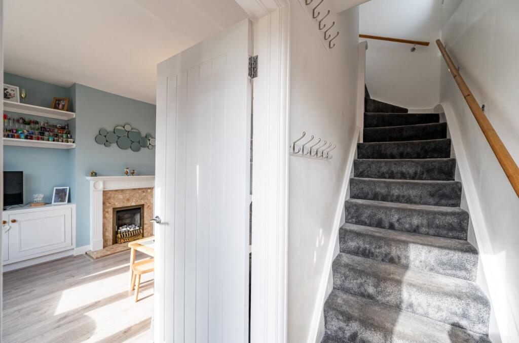
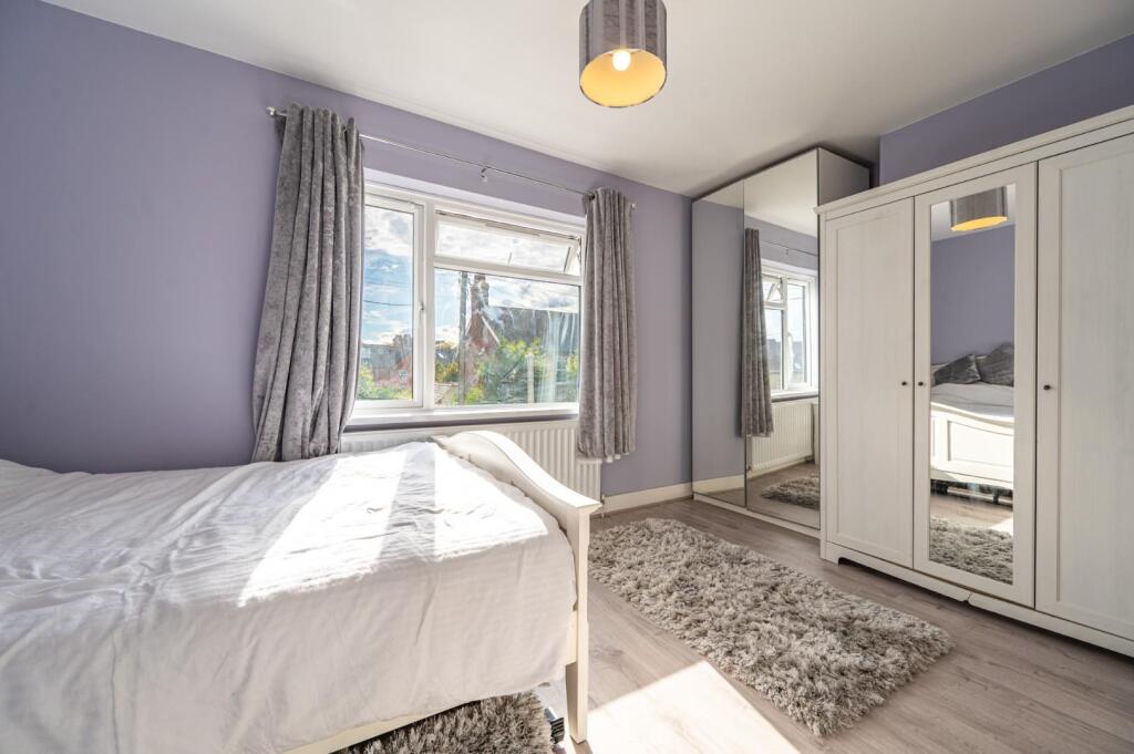
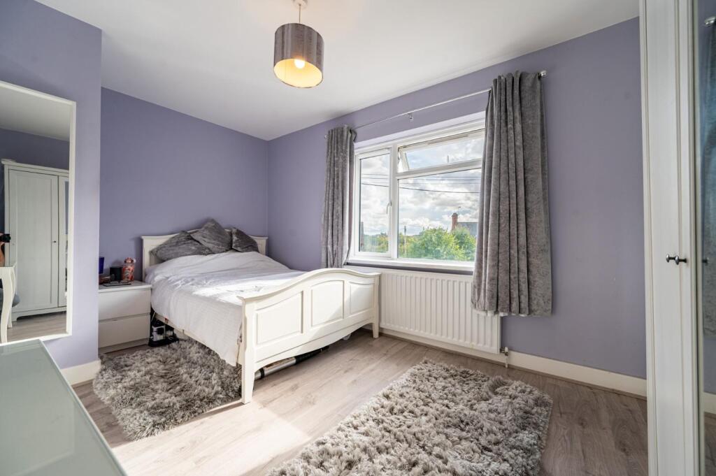
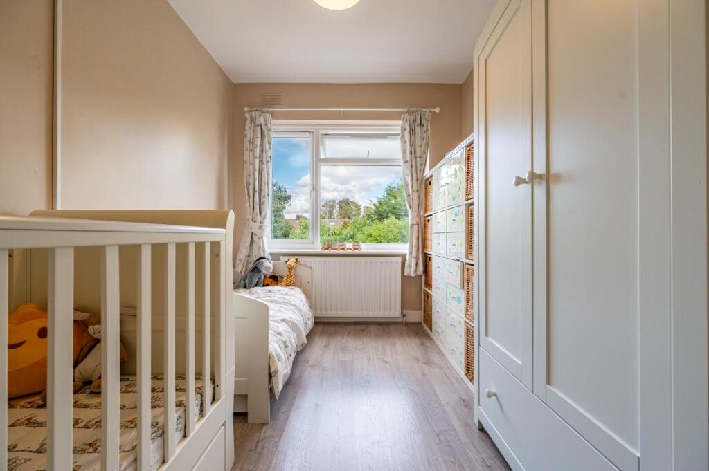
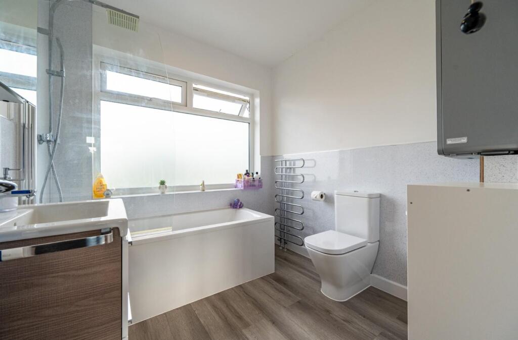
Photos · Open listing
 Open image 1 from listing 166536821
 Open image 2 from listing 166536821
 Open image 3 from listing 166536821
 Open image 4 from listing 166536821
 Open image 5 from listing 166536821
 Open image 6 from listing 166536821
 Open image 7 from listing 166536821
 Open image 8 from listing 166536821
 Open image 9 from listing 166536821
 Open image 10 from listing 166536821
 Open image 11 from listing 166536821
 Open image 12 from listing 166536821
Sold comparables
Same street and nearby sales within 0.25 miles (last 5 years). Land Registry Price Paid Data.
| Address | Price | Date | Type |
|---|---|---|---|
| 8 OAKROYD AVENUE, DUNMOW, UTTLESFORD, ESSEX, CM6 1HG | £476,000 | 19/10/2023 | Semi-detached |
| 35 HARRIS GREEN, DUNMOW, UTTLESFORD, ESSEX, CM6 1FP | £315,000 | 12/10/2023 | Semi-detached |
| 6 SUNBANK, DUNMOW, UTTLESFORD, ESSEX, CM6 1XH | £365,000 | 19/05/2023 | Semi-detached |
| 8 OAKROYD AVENUE, DUNMOW, UTTLESFORD, ESSEX, CM6 1HG | £493,500 | 28/04/2023 | Semi-detached |
| 41 OAKROYD AVENUE, DUNMOW, UTTLESFORD, ESSEX, CM6 1HG | £240,000 | 16/12/2022 | Semi-detached |
| 5 SUNBANK, DUNMOW, UTTLESFORD, ESSEX, CM6 1XH | £365,000 | 06/12/2022 | Semi-detached |
| 15 TENTERFIELDS, DUNMOW, UTTLESFORD, ESSEX, CM6 1HH | £432,000 | 11/11/2022 | Semi-detached |
| 1 BARNETSON PLACE, DUNMOW, UTTLESFORD, ESSEX, CM6 1LN | £856,000 | 10/11/2022 | Semi-detached |
| 5 OAKROYD AVENUE, DUNMOW, UTTLESFORD, ESSEX, CM6 1HG | £485,000 | 26/10/2022 | Semi-detached |
| 4 SUNBANK, DUNMOW, UTTLESFORD, ESSEX, CM6 1XH | £370,000 | 21/07/2022 | Semi-detached |
| 19 THE AVENUE, DUNMOW, UTTLESFORD, ESSEX, CM6 1BQ | £430,000 | 17/09/2021 | Semi-detached |
| 3 SUNBANK, DUNMOW, UTTLESFORD, ESSEX, CM6 1XH | £336,000 | 16/07/2021 | Semi-detached |
| 24 THE AVENUE, DUNMOW, UTTLESFORD, ESSEX, CM6 1BQ | £400,000 | 15/07/2021 | Semi-detached |
| 41 THE AVENUE, DUNMOW, UTTLESFORD, ESSEX, CM6 1BQ | £450,000 | 30/06/2021 | Semi-detached |
Area average: £429,536 (14 sales)
For sale comparables
No active for-sale comparables found within 1 mile for the same bedrooms and property type.
Capital growth trend
Land Registry outcode average: last 12 months vs 5y and 10y ago (from sold prices).
House Price Index (HM Land Registry — official index, not sold-price averages): Uttlesford. Series: Semi-detached. As of March 2026.
Rental Range
Estimated market rent for Uttlesford. Low = conservative, Realistic = average, Optimistic = best case.
Based on Local Authority from postcode lookup → Uttlesford.
LHA (30th percentile) floor for Kings Lynn: Apr 2025 – Mar 2026
Rental Comparables
Residential lets in the area (all bedroom counts shown — none matched the 2-bedroom count for this property). Student lets are excluded.
| Title | Rent | Beds | Distance | As seen on |
|---|---|---|---|---|
| 1 Bed Flat, Fitzwalter Place, CM6 | £990/mo | 1 | 0.11 miles | OpenRent |
| 3 Bed Detached House, Livermore Court, CM6 | £1,800/mo | 3 | 0.17 miles | OpenRent |
| 1 Bed Flat, High Street, CM6 | £1,000/mo | 1 | 0.28 miles | OpenRent |
| 1 Bed Flat, High Street, CM6 | £1,000/mo | 1 | 0.29 miles | OpenRent |
| 1 Bed Flat, Clayton House, CM6 | £1,300/mo | 1 | 0.3 miles | OpenRent |
| 4 Bed Detached House, St. Edmunds Fields, CM6 | £1,875/mo | 4 | 0.69 miles | OpenRent |
| 3 Bed Semi-Detached House, Rowan Way, CM6 | £1,700/mo | 3 | 0.74 miles | OpenRent |
| 3 Bed End Terrace, Guelder Rose, CM6 | £1,950/mo | 3 | 1.06 miles | OpenRent |
Average rent: £1,452/mo (8 listings)
Rent-driven metrics
Based on OpenRent comparables.
- Rent ratio — Monthly rent ÷ purchase price (1% rule). 1%+ = strong, 0.8–1% = okay, <0.8% = weak for cashflow.
- Max investor price — Rent ÷ 0.8%; the price at which rent would be 0.8% of price (Stoke-style target).
- Target investor price — Rent ÷ 1%; the price at which rent would be 1% of price (strong cashflow band).
- Gross yield — Annual rent as % of purchase price (no costs).
- Cost-to-rent — Price ÷ annual rent (from OpenRent comparables). Under 14× = strong, 14–16× = acceptable, 17×+ = compressed.
- Cashflow — Rent minus mortgage, 10% maintenance, £25/mo compliance. Assumes 75% LTV, 3.95% APR (5yr fixed), 25yr term.
- ROI — Annual profit ÷ cash in (deposit + 4% purchase costs).
Flood risk
Zone: 1
Risk: Low
Not in Flood Risk Area (no data)
Street-level crime
| Category | Count |
|---|---|
| Violence and sexual offences | 24 |
| Anti-social behaviour | 10 |
| Criminal damage and arson | 10 |
| Other theft | 5 |
| Burglary | 4 |
| Public order | 3 |
| Vehicle crime | 3 |
| Other crime | 1 |
| Robbery | 1 |
| Shoplifting | 1 |
| Theft from the person | 1 |
| Total incidents | 63 |
Within 1 mile during Apr 2026. Source: data.police.uk (England & Wales).
Schools nearby
Nearest open schools with Ofsted ratings (England). Closed schools are not shown. Data from Get Information about Schools and Ofsted.
| Name | Type | Distance | Ofsted |
|---|---|---|---|
| Cambian Great Dunmow School | Other | 0.2 miles | Requires improvement — 12 Jun 2024 |
| Dunmow St Mary's Primary School | Primary | 0.5 miles | Good — 19 Sep 2023 |
| Great Dunmow Primary School | Primary | 0.8 miles | — (Inspected (no overall grade)) |
| Helena Romanes School | Other | 1.0 miles | Good — 16 Nov 2023 |
| The Flitch Green Academy | Primary | 2.2 miles | — (Inspected (no overall grade)) |
FENSA
Checking FENSA certificates for this address. Refresh in a few minutes.